- Mindat Township
-
Mindat Township
မင်းတပ်မြို့နယ်— Township — 
 Mindat Township
Coordinates: 21°20′N 93°15′E / 21.333°N 93.25°ECoordinates: 21°20′N 93°15′E / 21.333°N 93.25°E Country  Myanmar
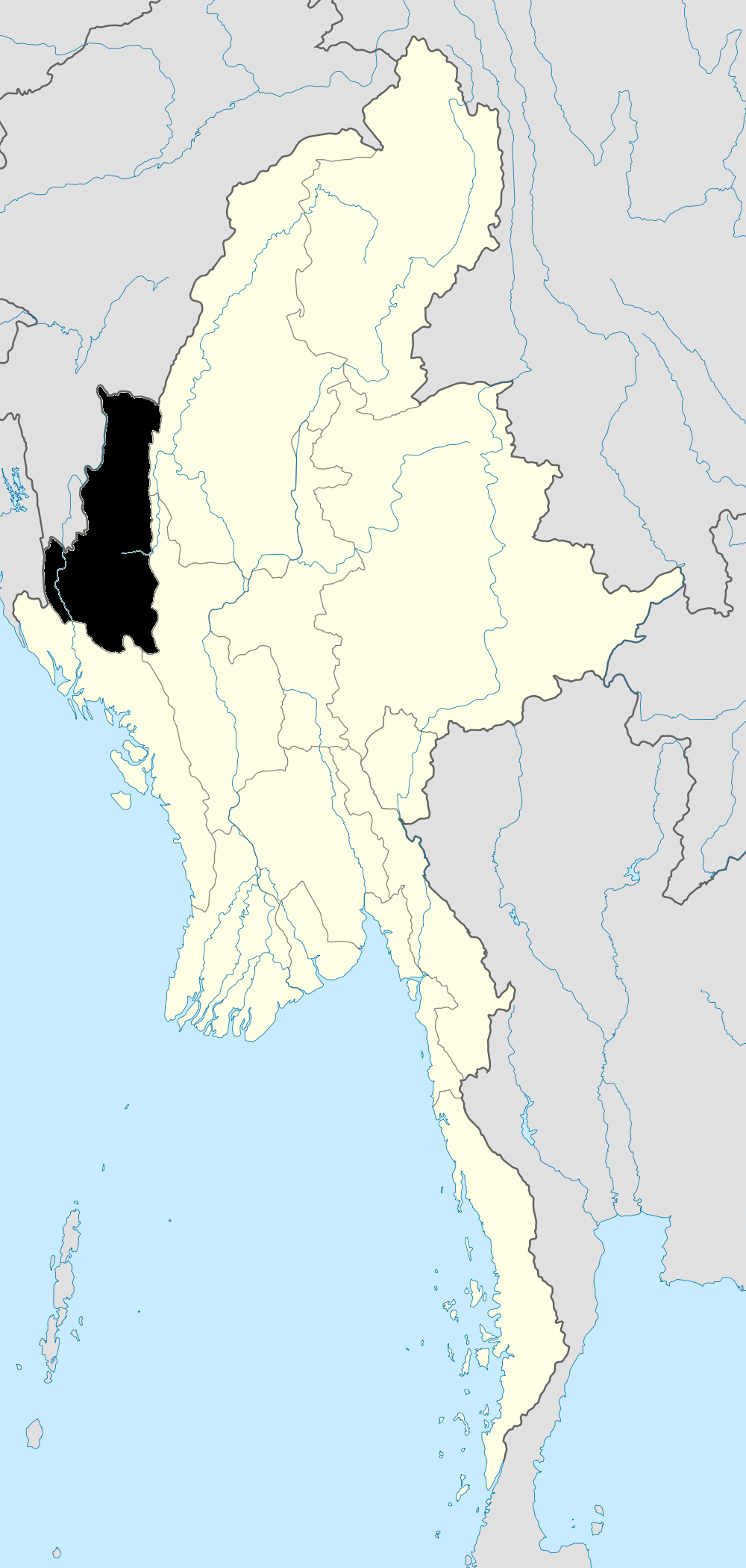
State Chin State District Mindat District Admin. seat Mindat Population (2008)[1] 39,670 Time zone MST (UTC+6:30) Mindat Township (Burmese: မင်းတပ်မြို့နယ်) is a township located in Mindat District in the Chin State of Myanmar. The township is located between latitude 21.19 and 21.47, longitude 93.23 and 94.29.[2] The third highest peak in Myanmar, Nat Ma Taung (Mt. Victoria) at 3053 meters, is located here.[citation needed]
The "Kcho" or "Cho" people are the main ethnic group in the township. The Kcho people speak the Kcho language, distinct from surrounding Chin dialects. Other ethnic groups in the township are the Mun, the M'Kang and the Dai.[citation needed]
Christianity is the main religion. Animism and Theravada Buddhism are also present.[citation needed]
Communities
Mindat is the major and only town; it is located in the southeastern part of the township.[3] The township has 46 village tracts and 497 villages.[1]
Notes
- ^ a b "Mindat_Township_Profile" Myanmar Information Management Unit (MIMU), January 2010, population figures from State General Administration Department, October 2008
- ^ "Chin State". Myanmar Explore. http://www.myanmar-explore.com/eng/destinations/chin/index.html. Retrieved 2010-05-12.
- ^ "Mindat Township - Chin State" map ID:MIMU 154v01 created: 17 May 2010, Myanmar Information Management Unit (MIMU)
External links
- "Mindat Google Satellite Map" Maplandia World Gazetteer
Capital: Amlaung • Angim-loisah (21°20'0"N 93°34'0"E) • Angim-loisah (21°19'0"N 93°33'0"E) • Awlawngpang • Batwe • Bawng-im • Bo • Bong • Bum-im • Chat • Chaung-yung • Chidup • Dandi • Di • Do-im • Dok • Haitu • Hambong • Hilawng • Hkettaung • Hkong-im • Hlatwi • Hlegaung • Hlimsang • Hliraw • Hliring • Hnum • Htaiwa • Kaibwi-imnu • Ka-im • Kawngnoi • Kheng • Khôkchaung • Khreum • Khuisah • Khumpawng • Kothar • Kreup • Kumtsawngtsa • Kunlaung • Kwenam • Kwitha • Kyichaung • Kywechaung Yaphè • Laukkawn • Leikswe • Letha (21°29'0"N 93°45'0"E) • Letha (21°21'0"N 93°42'0"E) • Loipang • Lower Kheng • Lungdu • Lungsu-loisan • Madhu • Mbawtha • Mbingyaw • Mda-imnu • Mdap • Men • Mgwe-imnu • Mgwi • Mhaw • Mhreng • Mindat • Mkai-imnu • Mkyai • Mkyam-im • Mleng • Msang • Mshawng • Mshwe • Mthongnu • Mthu • Mthway • Nawt • Nyung-imnu • Ong • Paingdi • Palan • Pewachaung • Phaivawn • Prung • Ranlaung • Rapdok • Rawnglaung • Rawt • Ridwi • Ro • Saidu • Satchida • Sheet • Shet • Shihmwe • Shim • Shivalaung • Shivanu • Shuntwi • Tai-imnu • Taungtet • Tawnggon • Telaung • Thung • Ting Kung • Tonngè • Tsuthmwe • Twiding • Twili • Upper Kheng • Vaga • Vawlaung • Vawm • Vawmthu • Vuilu • Ware • Welaung • Yapkon • Yetpa • Yopong • Zang-imnu
Chin State Capital: Hakha Falam District 

Mindat District Cities and towns Categories:- Townships of Chin State
- Burma geography stubs

Wikimedia Foundation. 2010.