- Nutfield railway station
-
Nutfield 

Location Place Nutfield Local authority Tandridge Coordinates 51°13′37″N 0°07′59″W / 51.227°N 0.133°WCoordinates: 51°13′37″N 0°07′59″W / 51.227°N 0.133°W Grid reference TQ304491 Operations Station code NUF Managed by Southern Number of platforms 2 Live arrivals/departures and station information
from National Rail EnquiriesAnnual rail passenger usage 2004/05 * 92,602 2005/06 *  96,157
2006/07 * 99,5572007/08 * 0.109 million2008/09 *  0.105 million
History Original company South Eastern Railway Pre-grouping South Eastern and Chatham Railway Post-grouping Southern Railway 1 January 1884 Opened National Rail - UK railway stations A B C D E F G H I J K L M N O P Q R S T U V W X Y Z * Annual passenger usage based on sales of tickets in stated financial year(s) which end or originate at Nutfield from Office of Rail Regulation statistics. Please note: methodology may vary year on year. Nutfield railway station is on the Redhill to Tonbridge Line and serves Nutfield, Surrey. It is about a mile south of Nutfield in South Nutfield, a settlement which was non-existent before the coming of the railway. The station, and all trains serving it, has since December 2008 been operated by Southern, following the ending of the previous Southeastern service.
Contents
History
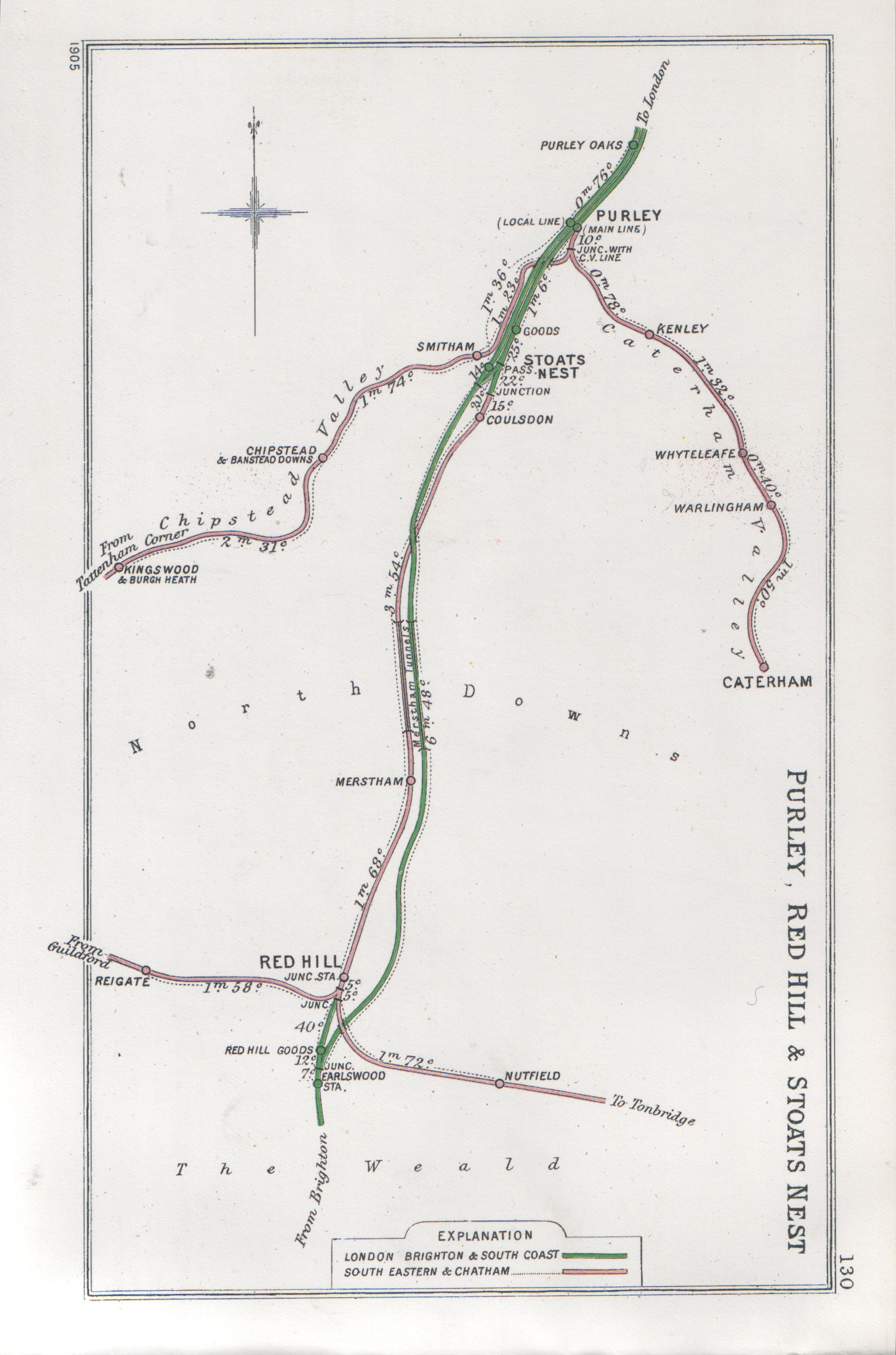
 A 1905 Railway Clearing House map of lines around Nutfield railway station.
The railway line between Redhill and Tonbridge was opened by the South Eastern Railway on 26 May 1842,[1] and Nutfield station opened on that line on 1 January 1884.[2]
The station was permanently destaffed in 1967 but for a few years afterwards a railman issued tickets during the weekday morning rush hours.
In 1993 the line was electrified and services started to run through to London rather than being an extension of the Reading to Tonbridge North Downs Line service.
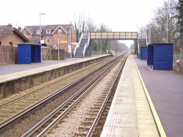
Station facilities
The two platforms are linked by a footbridge.
Trains heading to Tonbridge have an information board displaying the next train details, and in May 2011 an information board was installed on Platform 1 which heads to Redhill and London.
In 2008, a PERTIS machine was installed at this station at the entrance to the Redhill-bound platform.
Services
The typical off peak service is one train per hour east to Tonbridge railway station, and west to London Charing Cross via Redhill and East Croydon.
Preceding station  National Rail
Following station Southern References
Categories:- Railway stations in Surrey
- Former South Eastern Railway (UK) stations
- Railway stations opened in 1884
- Railway stations served by Southern
- DfT Category F2 stations
Wikimedia Foundation. 2010.