- Interstate 283
Infobox road
state=PA
route=283
type=I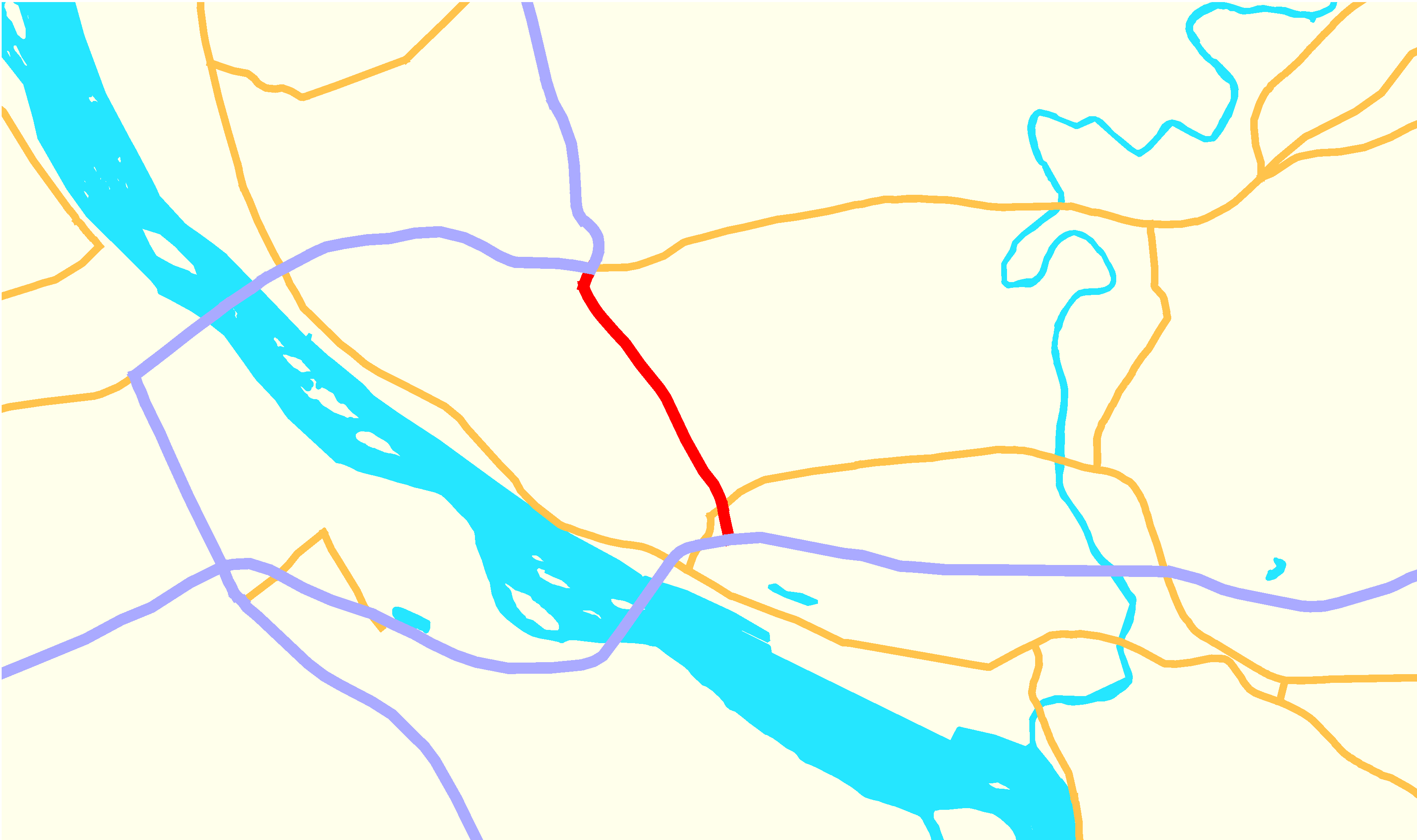
maint=PennDOT
length_mi=2.91
length_round=3
length_ref= [Federal Highway Administration - [http://www.fhwa.dot.gov/reports/routefinder/table2.htm Auxiliary Routes of the Dwight D. Eisenhower National System Of Interstate and Defense Highways] ]
year_established=1972
direction_a=South
terminus_a=
junction= in Swatara Township
direction_b=North
terminus_b=
cities=Harrisburg
previous_type=PA
previous_route=282
next_type=PA
next_route=283Interstate 283 (I-283), considered State Route 283 (SR 283) by
PennDOT , is an auxiliary route of theInterstate Highway System located just east ofHarrisburg, Pennsylvania ,United States . It runs from the Harrisburg East interchange of Interstate 76 (Pennsylvania Turnpike ) north to Interstate 83 and U.S. Route 322 at theEisenhower Interchange , with a connection toPennsylvania Route 283 near the south end. PA 283 continues southeast to Lancaster as afreeway .Exit list
References
Wikimedia Foundation. 2010.