- Easton, New Hampshire
Infobox Settlement
official_name = Easton, New Hampshire
nickname =
motto =
image_
imagesize =
image_caption =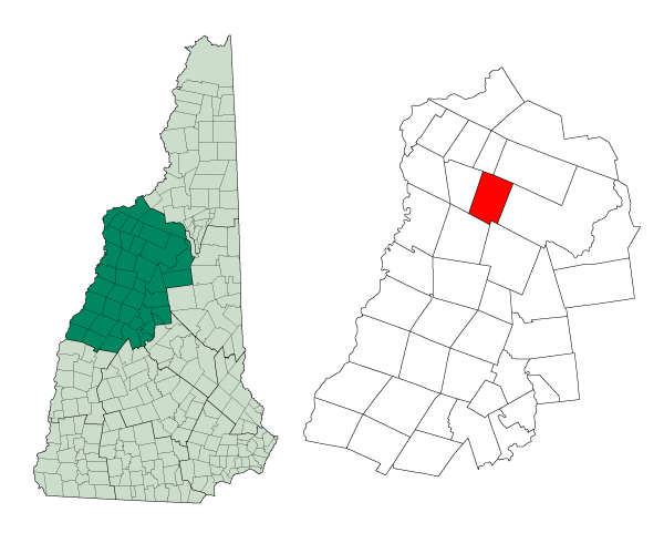
mapsize = 250px
map_caption = Location in Grafton County,New Hampshire
settlement_type = Town
mapsize1 =
map_caption1 =
subdivision_type = Country
subdivision_name =United States
subdivision_type1 = State
subdivision_name1 =New Hampshire
subdivision_type2 = County
subdivision_name2 = Grafton
government_type =
leader_title =Board of Selectmen
leader_name =
established_title = Incorporated
established_date = 1876
area_magnitude = 1 E8
area_total_km2 = 80.8
area_total_sq_mi = 31.2
area_land_km2 = 80.8
area_land_sq_mi = 31.2
area_water_km2 = 0.0
area_water_sq_mi = 0.0
area_water_percent = 0.03
population_as_of = 2000
population_note =
population_total = 256
population_density_km2 = 3.2
population_density_sq_mi = 8.2
timezone = Eastern
utc_offset = -5
timezone_DST = Eastern
utc_offset_DST = -4
latd = 44 |latm = 08 |lats = 46 |latNS = N
longd = 71 |longm = 47 |longs = 24 |longEW = W
elevation_m = 356
elevation_ft = 1167
website =
postal_code_type =
postal_code =
area_code = 603
blank_name = FIPS code
blank_info = 33-22020
blank1_name = GNIS feature ID
blank1_info = 0873586
footnotes =Easton is a town in Grafton County,
New Hampshire ,United States . The population was 256 at the 2000 census. Easton is the home of skierBode Miller .History
Formed from a part of Landaff known as Eastern Landaff, Easton was incorporated in 1876.
Kinsman Mountain, the Kinsman Range, and
Kinsman Notch are named for Asa Kinsman, one of the original settlers.Geography
According to the
United States Census Bureau , the town has a total area of convert|31.2|sqmi|km2, of which 0.03% is water. The highest point in Easton is convert|4040|ft|m abovesea level , just west of the convert|4293|ft|m|adj=on summit of the North Peak ofKinsman Mountain . TheWild Ammonoosuc River drains the southern part of town, while theHam Branch of theGale River drains the northern portion and passes the town's village. Easton lies fully within theConnecticut River watershed.cite book |title=Water Use in New Hampshire: An Activities Guide for Teachers |url=http://nh.water.usgs.gov/Publications/nh.intro.html |last=Foster |first=Debra H. |coauthors=Batorfalvy, Tatianna N.; and Medalie, Laura |publisher=U.S. Department of the Interior and U.S. Geological Survey |year=1995]Demographics
As of the
census GR|2 of 2000, there were 256 people, 117 households, and 84 families residing in the town. Thepopulation density was 8.2 people per square mile (3.2/km²). There were 187 housing units at an average density of 6.0/sq mi (2.3/km²). The racial makeup of the town was 96.48% White, 0.78% Native American, and 2.73% from two or more races. Hispanic or Latino of any race were 0.78% of the population.There were 117 households out of which 23.9% had children under the age of 18 living with them, 58.1% were married couples living together, 10.3% had a female householder with no husband present, and 28.2% were non-families. 23.1% of all households were made up of individuals and 6.8% had someone living alone who was 65 years of age or older. The average household size was 2.19 and the average family size was 2.54.
In the town the population was spread out with 19.1% under the age of 18, 3.9% from 18 to 24, 22.3% from 25 to 44, 35.2% from 45 to 64, and 19.5% who were 65 years of age or older. The median age was 47 years. For every 100 females there were 98.4 males. For every 100 females age 18 and over, there were 97.1 males.
The median income for a household in the town was $49,167, and the median income for a family was $69,375. Males had a median income of $41,875 versus $23,750 for females. The
per capita income for the town was $31,841. About 6.0% of families and 10.0% of the population were below thepoverty line , including 30.6% of those under the age of eighteen and none of those sixty five or over.References
External links
* [http://www.nh.gov/nhes/elmi/htmlprofiles/easton.html New Hampshire Economic and Labor Market Information Bureau Profile]
Wikimedia Foundation. 2010.