- Errol, New Hampshire
Infobox Settlement
official_name = Errol, New Hampshire
nickname =
motto =
image_
imagesize =
image_caption =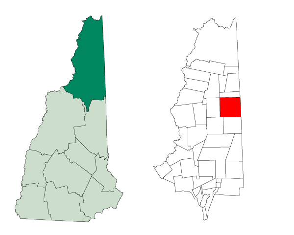
mapsize = 250x200px
map_caption = Location in Coos County,New Hampshire
settlement_type = Town
mapsize1 =
map_caption1 =
subdivision_type = Country
subdivision_name =United States
subdivision_type1 = State
subdivision_name1 =New Hampshire
subdivision_type2 = County
subdivision_name2 = Coos
government_type =
leader_title =Board of Selectmen
leader_name =
established_title = Incorporated
established_date = 1836
area_magnitude = 1 E8
area_total_km2 = 180.2
area_total_sq_mi = 69.6
area_land_km2 = 157.9
area_land_sq_mi = 61.0
area_water_km2 = 22.4
area_water_sq_mi = 8.6
area_water_percent = 12.40
population_as_of = 2000
population_note =
population_total = 298
population_density_km2 = 1.9
population_density_sq_mi = 4.9
timezone = Eastern
utc_offset = -5
timezone_DST = Eastern
utc_offset_DST = -4
latd = 44 |latm = 46 |lats = 53 |latNS = N
longd = 71 |longm = 08 |longs = 16 |longEW = W
elevation_m = 374
elevation_ft = 1227
website =
postal_code_type =ZIP code
postal_code = 03579
area_code = 603
blank_name = FIPS code
blank_info = 33-25140
blank1_name = GNIS feature ID
blank1_info = 0873593
footnotes =Errol is a town in Coos County,
New Hampshire ,United States . The population was 298 at the 2000 census. Its ZIP code is 03579. It is located north of the White Mountains along Route 16 at the intersection of Route 26. It has a municipal airport with a single, unpaved runway (airport code ERRcite web |url=http://www.abakan.de/info/travel/search_en.php?code=&city=errol&province=&name=&country= |title=Search Results |work=Abakan IATA search engine |accessdate=2007-05-24] ).Errol is part of the Berlin, NH–VT Micropolitan Statistical Area.
History
Errol was chartered in 1774 and incorporated in 1836. The name is taken from
Scotland 'sJames Hay, 15th Earl of Erroll .Geography
According to the
United States Census Bureau , the town has a total area of convert|69.6|sqmi|km2, of which convert|61.0|sqmi|km2|abbr=on is land and convert|8.6|sqmi|km2|abbr=on is water, comprising 12.40% of the town. The town's elevation reaches convert|2340|ft|m abovesea level at two different places along its border: along the town's northern boundary on a southwestern ridge of Black Mountain, and along the town's western boundary on a northeastern ridge of Signal Mountain. Errol lies fully within theAndroscoggin River watershed.cite book |title=Water Use in New Hampshire: An Activities Guide for Teachers |url=http://nh.water.usgs.gov/Publications/nh.intro.html |last=Foster |first=Debra H. |coauthors=Batorfalvy, Tatianna N.; and Medalie, Laura |publisher=U.S. Department of the Interior and U.S. Geological Survey |year=1995]Demographics
As of the
census GR|2 of 2000, there were 298 people, 137 households, and 90 families residing in the town. Thepopulation density was 4.9 people per square mile (1.9/km²). There were 447 housing units at an average density of 7.3/sq mi (2.8/km²). The racial makeup of the town was 98.66% White, 0.34% Pacific Islander, 0.67% from other races, and 0.34% from two or more races. Hispanic or Latino of any race were 1.01% of the population.There were 137 households out of which 19.7% had children under the age of 18 living with them, 60.6% were married couples living together, 2.2% had a female householder with no husband present, and 34.3% were non-families. 24.8% of all households were made up of individuals and 9.5% had someone living alone who was 65 years of age or older. The average household size was 2.15 and the average family size was 2.56.
In the town the population was spread out with 16.4% under the age of 18, 3.4% from 18 to 24, 27.5% from 25 to 44, 35.2% from 45 to 64, and 17.4% who were 65 years of age or older. The median age was 47 years. For every 100 females there were 108.4 males. For every 100 females age 18 and over, there were 114.7 males.
The median income for a household in the town was $35,625, and the median income for a family was $47,500. Males had a median income of $37,250 versus $20,250 for females. The
per capita income for the town was $22,440. About 9.8% of families and 13.1% of the population were below thepoverty line , including 24.2% of those under the age of eighteen and 15.2% of those sixty five or over.References
External links
* [http://www.nh.gov/nhes/elmi/htmlprofiles/errol.html New Hampshire Economic and Labor Market Information Bureau Profile]
Wikimedia Foundation. 2010.