- Madison, New Hampshire
Infobox Settlement
official_name = Madison, New Hampshire
nickname =
motto =
image_
imagesize =
image_caption =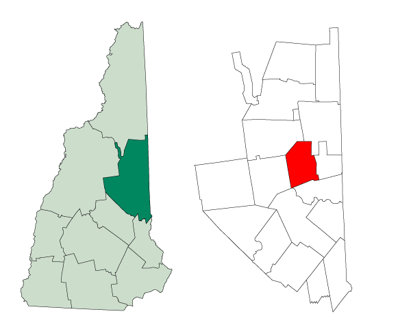
mapsize = 250px
map_caption = Location in Carroll County,New Hampshire
settlement_type = Town
mapsize1 =
map_caption1 =
subdivision_type = Country
subdivision_name =United States
subdivision_type1 = State
subdivision_name1 =New Hampshire
subdivision_type2 = County
subdivision_name2 = Carroll
government_type =
leader_title =Board of Selectmen
leader_name = John Arruda - Chairman
Josh L. Shackford
Michael R. Brooks
established_title = Incorporated
established_date = 1852
area_magnitude = 1 E8
area_total_km2 = 106.1
area_total_sq_mi = 41.0
area_land_km2 = 100.3
area_land_sq_mi = 38.7
area_water_km2 = 5.7
area_water_sq_mi = 2.2
area_water_percent = 5.42
population_as_of = 2000
population_note =
population_total = 1984
population_density_km2 = 19.8
population_density_sq_mi = 51.2
timezone = Eastern
utc_offset = -5
timezone_DST = Eastern
utc_offset_DST = -4
latd = 43 |latm = 54 |lats = 14 |latNS = N
longd = 71 |longm = 08 |longs = 50 |longEW = W
elevation_m = 205
elevation_ft = 673
website = [http://www.madison-nh.org/ www.madison-nh.org]
postal_code_type =ZIP code
postal_code = 03849
area_code = 603
blank_name = FIPS code
blank_info = 33-45060
blank1_name = GNIS feature ID
blank1_info = 0873657
footnotes =Madison is a town in Carroll County,
New Hampshire ,United States . The population was 1,984 at the 2000 census. Madison includes the village of Silver Lake.History
This area was one of the first to have land grants set aside for soldiers who had survived the
French and Indian War . The land covered by these grants, parts of Eaton and Albany, was incorporated in 1852 as "Madison," in honor of PresidentJames Madison , who was born 100 years earlier.The town is home to the Madison Boulder, the largest known
glacial erratic inNew England , and among the largest in the world. Madison Boulder is a hugegranite rock measuring convert|83|ft|m in length, convert|23|ft|m in height above the ground, and convert|37|ft|m in width. It weighs upwards of 5,000 tons. A part of this roughly rectangular block is buried, probably to a depth of ten to twelve feet. It is located at a state park in the northwest part of town.Geography
According to the
United States Census Bureau , the town has a total area of convert|41.0|sqmi|km2, of which convert|38.7|sqmi|km2|abbr=on is land and convert|2.2|sqmi|km2|abbr=on is water, comprising 5.42% of the town. Madison is drained by Forrest Brook and Silver Lake to the south and byPequawket Brook to the north. The highest point in Madison is the summit of Lyman Mountain, at convert|1558|ft|m abovesea level .Demographics
As of the
census GR|2 of 2000, there were 1,984 people, 777 households, and 560 families residing in the town. Thepopulation density was 51.2 people per square mile (19.8/km²). There were 1,589 housing units at an average density of 41.0/sq mi (15.8/km²). The racial makeup of the town was 97.78% White, 0.05% African American, 0.66% Native American, 0.20% Asian, 0.40% from other races, and 0.91% from two or more races. Hispanic or Latino of any race were 0.76% of the population.There were 777 households out of which 33.1% had children under the age of 18 living with them, 60.0% were married couples living together, 7.2% had a female householder with no husband present, and 27.9% were non-families. 21.5% of all households were made up of individuals and 7.9% had someone living alone who was 65 years of age or older. The average household size was 2.55 and the average family size was 2.97.
In the town the population was spread out with 24.8% under the age of 18, 5.4% from 18 to 24, 31.1% from 25 to 44, 26.6% from 45 to 64, and 12.0% who were 65 years of age or older. The median age was 40 years. For every 100 females there were 104.3 males. For every 100 females age 18 and over, there were 99.2 males.
The median income for a household in the town was $43,523, and the median income for a family was $51,080. Males had a median income of $32,422 versus $22,159 for females. The
per capita income for the town was $20,608. About 2.0% of families and 4.5% of the population were below thepoverty line , including 5.2% of those under age 18 and 3.8% of those age 65 or over.Notable residents
*
E. E. Cummings , poet
*Don Orsillo , announcer for the Boston Red SoxSites of interest
* [http://www.purityspring.com/ Purity Spring Resort]
*King Pine Ski Area at Purity Spring Resort
*Joy Farm , home of poetE. E. Cummings
* [http://www.nhstateparks.org/state-parks/alphabetical-order/madison-boulder-natural-area/ Madison Boulder Natural Area]
* Madison Historical Society Museum
*Silver Lake Railroad References
External links
* [http://www.madison-nh.org Town website]
* [http://www.madisonhistorical.us/ Madison Historical Society]
* [http://www.madison.lib.nh.us/ Madison Public Library]
* [http://www.nh.gov/nhes/elmi/htmlprofiles/madison.html New Hampshire Economic and Labor Market Information Bureau Profile]
Wikimedia Foundation. 2010.