- Daykin, Nebraska
-
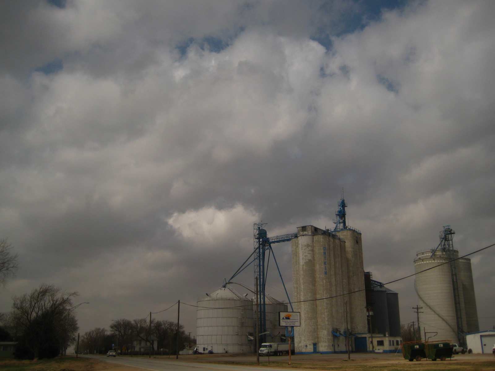
Daykin, Nebraska — Village — Farmers Co-OP in Daykin, Nebraska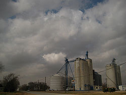 Location of Daykin, Nebraska
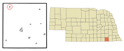
Coordinates: 40°19′19″N 97°17′56″W / 40.32194°N 97.29889°WCoordinates: 40°19′19″N 97°17′56″W / 40.32194°N 97.29889°W Country United States State Nebraska County Jefferson Area – Total 0.2 sq mi (0.4 km2) – Land 0.2 sq mi (0.4 km2) – Water 0.0 sq mi (0.0 km2) Elevation 1,532 ft (467 m) Population (2000) – Total 177 – Density 1,050.7/sq mi (405.7/km2) Time zone Central (CST) (UTC-6) – Summer (DST) CDT (UTC-5) ZIP code 68338 Area code(s) 402 FIPS code 31-12455[1] GNIS feature ID 0828609[2] Daykin is a village in Jefferson County, Nebraska, United States. The population was 177 at the 2000 census.
Contents
History
Daykin was founded by John Daykin, a train conductor and stonemason from Illinois. In 1869, John Daykin purchased land in Jefferson County, Nebraska that would later become Daykin. Besides for founding the town, he remains most recognized for conducting the train that returned Abraham Lincoln's body to Springfield, Illinois.[3]
Daykin at one point had a population that reached near 300 people. The town held businesses such as a doctor's office, a butcher, laundromat, veterinarian, hotel, blacksmith, furniture store, jewelry store and many more.[4] Currently Daykin has a Farmers CO-OP Branch, Daykin Country Store, Daykin Lumber Yard (Division of Kwint Inc.), Blue Skies Photography, Daykin Hardware, Hair Razors Salon, Craig's Automotive, Kenny's Bar and Grill, a Bed and Breakfast, and the Daykin Post Office. The Jefferson County Bank was built in 1887, and has been in continuous operation sense then, surviving the market crash of the 1930s.
The former Daykin Public School was held in the present day Daykin Community Building after its erection in 1935. The Daykin Schools became a 12 grade system in 1926. Most of the original 1935 building structure remains, with the lower elementary class buildings being moved and the gym being minimized after a restoration. Today students attend Meridian School. Meridian consist of the residents of Daykin, Alexandria, and Tobias, creating the 303 Nebraska School District.
Two churches are located within Daykin, St. John's Lutheran Church, and St. John's United Methodist Church. The Daykin Immanuel Church is a few miles outside of Daykin. Both churches were created in 1888.
Daykin is known as the "Windmill Town". In the 1930s Daykin was featured in Ripley's Believe It or Not, as having more windmills per capita than any other town in Nebraska. In 1949, a water tower was built. It replaced all but one windmill, which now stands on the lawn in front of the Daykin Community Building as reminder of Daykin's history.[5]
Geography
Daykin is located at 40°19′19″N 97°17′56″W / 40.321817°N 97.299009°W (40.321817, -97.299009).[6]
According to the United States Census Bureau, the village has a total area of 0.2 square miles (0.52 km2), all of it land.
Demographics
As of the census[1] of 2000, there were 177 people, 81 households, and 48 families residing in the village. The population density was 1,050.7 people per square mile (402.0/km2). There were 90 housing units at an average density of 534.3 per square mile (204.4/km2). The racial makeup of the village was 100% White.
There were 81 households out of which 23.5% had children under the age of 18 living with them, 55.6% were married couples living together, 3.7% had a female householder with no husband present, and 40.7% were non-families. 40.7% of all households were made up of individuals and 25.9% had someone living alone who was 65 years of age or older. The average household size was 2.19 and the average family size was 2.98.
In the village the population was spread out with 24.3% under the age of 18, 3.4% from 18 to 24, 19.8% from 25 to 44, 24.9% from 45 to 64, and 27.7% who were 65 years of age or older. The median age was 47 years. For every 100 females there were 75.2 males. For every 100 females age 18 and over, there were 74.0 males.
The median income for a household in the village was $23,333, and the median income for a family was $33,750. Males had a median income of $22,386 versus $19,167 for females. The per capita income for the village was $15,843. About 8.3% of families and 11.3% of the population were below the poverty line, including none of those under the age of eighteen and 16.4% of those sixty five or over.
References
- ^ a b "American FactFinder". United States Census Bureau. http://factfinder.census.gov. Retrieved 2008-01-31.
- ^ "US Board on Geographic Names". United States Geological Survey. 2007-10-25. http://geonames.usgs.gov. Retrieved 2008-01-31.
- ^ http://www.riversidecemeterycleveland.org/rs_hs_e.htm#daykin
- ^ http://www.rootsweb.ancestry.com/~nejeffer/daykin.htm
- ^ http://www.casde.unl.edu/history/counties/jefferson/daykin/
- ^ "US Gazetteer files: 2010, 2000, and 1990". United States Census Bureau. 2011-02-12. http://www.census.gov/geo/www/gazetteer/gazette.html. Retrieved 2011-04-23.
Municipalities and communities of Jefferson County, Nebraska City 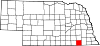
Villages Categories:- Populated places in Jefferson County, Nebraska
- Villages in Nebraska

Wikimedia Foundation. 2010.