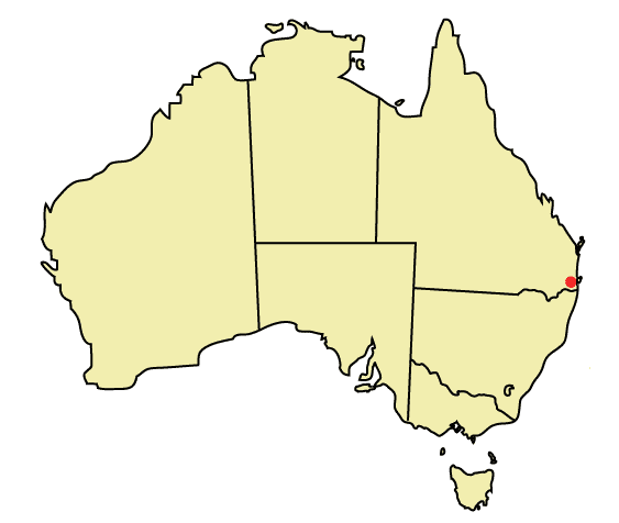
- Mudgeeraba, Queensland
Infobox Australian Place | type = suburb
name = Mudgeeraba
city = Gold Coast
state = Queensland
caption =
lga = Gold Coast City
postcode = 4213
est =
pop = 11,098
area =
propval =
stategov = Mudgeeraba
fedgov = McPherson
near-nw = Tallai
near-n = Worongary
near-ne = Merrimac
near-w = Advancetown and Springbrook
near-e = Robina
near-sw = Bonogin
near-s = Reedy Creek
near-se = Varsity Lakes
dist1 =
location1=Mudgeeraba is a suburb of the Gold Coast. Mudgeeraba is a remnant of the type of township that characterises the rural hinterland of the Gold Coast. Subdivision of land was conventional and buildings were traditionally rural or rural commercial. Mudgeeraba was, like Nerang, an early centre, which rose to some prominence with the coming of the railway. During the more recent boom periods Mudgeeraba has become very fashionable with many large homes on acreage as well as many more affordable family homes in the area. Mudgeeraba contains important evidence of its earlier form and building and most older houses are situated on large blocks of .5 to two acres. Contained on an 'island' within the flood plain its essential character remains one of a nineteenth century village despite the recent encroachment of housing estates to nearby land.
Mudgeeraba also situates Somerset College, a highly acclaimed school.
"Mudgeeraba" is an Aboriginal term meaning "place where lies are told".
Mudgeeraba may also mean, "Low-lying ground", "Sticky Soil" or "Infants Excrement"
ee also
*
Suburbs of the Gold Coast External links
* [http://www.goldcoast.qld.gov.au/t_gcsuburbs_f.asp?pid=1059 Heritage Tour - Mudgeeraba]
* [http://www.verygc.com/places_to_discover/mudgeeraba.html Very GC - Mudgeeraba]
Wikimedia Foundation. 2010.