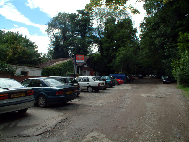
Ravensbourne railway station
- Ravensbourne railway station
Infobox London station
name = Ravensbourne

railcode = RVB
manager = Southeastern
zone = 4
locale = Ravensbourne
borough = London Borough of Bromley
start = 1 July 1892
platforms = 2
raillowexits0405 = 131,642
raillowexits0506 = 126,221
raillowexits0607 = 152,655Ravensbourne railway station is in the London Borough of Bromley in south London. It is in Travelcard Zone 4, and the station and all trains are operated by Southeastern.
Services
The typical off-peak service is:
*2 tph to London Blackfriars (London Victoria on Sundays) calling at all stations via Peckham Rye
*2tph to Sevenoaks via Bromley South and Swanley.
External links
Geolinks-UK-buildingscale|51.4141|-0.0075
Wikimedia Foundation.
2010.
Look at other dictionaries:
River Ravensbourne — Not to be confused with The Ravensbourne. Ravensbourne Deptford Creek River … Wikipedia
Docklands Light Railway — (DLR) Overview Type … Wikipedia
Greenwich station — Infobox London station name = Greenwich owner = Network Rail (Pl. 1 2) Docklands Light Railway (Pl. 3 4) manager = Southeastern (Pl. 1 2) Docklands Light Railway (Pl. 3 4) zone = 2 and 3 railexits0405 = 1.649 railexits0506 = 1.702 railexits0607 … Wikipedia
London and Greenwich Railway — The London and Greenwich Railway was opened in London between 1836 and 1838. It was the first steam railway to have a terminus in the capital, and the first of any to be built specifically for passenger service.OriginsThe idea for the line came… … Wikipedia
Deptford Bridge DLR station — Deptford Bridge The original station with elevated platforms over the A2 road … Wikipedia
Docklands Light Railway — Streckenlänge: 34 km Spurweite: 1435 mm (Normalspur) Systemtyp: fahrerlose Hochbahn … Deutsch Wikipedia
Docklands Light Railway — Saltar a navegación, búsqueda Docklands Light Railway (DLR) Datos generales Tipo Tren ligero … Wikipedia Español
Deptford — For other uses, see Deptford (disambiguation). Coordinates: 51°28′41″N 0°01′35″W / 51.4780°N 0.0265°W / 51.4780; 0.0265 … Wikipedia
Keston — infobox UK place country = England map type = Greater London region= London population= official name= Keston london borough= Bromley constituency westminster= post town= KESTON postcode area= BR postcode district= BR2 dial code= 01689 os grid… … Wikipedia
River Thames — Thames redirects here. For other uses, see Thames (disambiguation). Coordinates: 51°29′56″N 0°36′31″E / 51.4989°N 0.6087°E / 5 … Wikipedia

