- Beltrami, Minnesota
Infobox Settlement
official_name = Beltrami, Minnesota
settlement_type =City
nickname =
motto =
imagesize =
image_caption =
image_
imagesize =
image_caption =
image_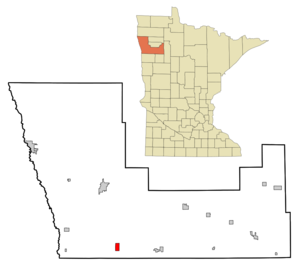
mapsize = 250px
map_caption = Location of Beltrami, Minnesota
mapsize1 =
map_caption1 =subdivision_type = Country
subdivision_name =United States
subdivision_type1 = State
subdivision_name1 =Minnesota
subdivision_type2 = County
subdivision_name2 = Polkgovernment_footnotes =
government_type =
leader_title =
leader_name =
leader_title1 =
leader_name1 =
established_title =
established_date =unit_pref = Imperial
area_footnotes =area_magnitude =
area_total_km2 = 5.2
area_land_km2 = 5.2
area_water_km2 = 0.0
area_total_sq_mi = 2.0
area_land_sq_mi = 2.0
area_water_sq_mi = 0.0population_as_of = 2000
population_footnotes =
population_total = 101
population_density_km2 = 19.4
population_density_sq_mi = 50.2timezone = Central (CST)
utc_offset = -6
timezone_DST = CDT
utc_offset_DST = -5
elevation_footnotes =
elevation_m = 275
elevation_ft = 902
latd = 47 |latm = 32 |lats = 26 |latNS = N
longd = 96 |longm = 31 |longs = 48 |longEW = Wpostal_code_type =
ZIP code
postal_code = 56517
area_code = 218
blank_name = FIPS code
blank_info = 27-05014GR|2
blank1_name = GNIS feature ID
blank1_info = 0639903GR|3
website =
footnotes =Beltrami is a city in Polk County,
Minnesota ,United States . It is part of the 'Grand Forks, ND-MNMetropolitan Statistical Area '. The population was 101 at the 2000 census.Geography
According to the
United States Census Bureau , the city has a total area of 2.0square mile s (5.2km² ), all of it land.Minnesota Highway 9 and Polk County Highway 1 are two of the main routes in the community.
Demographics
As of the
census GR|2 of 2000, there were 101 people, 44 households, and 31 families residing in the city. Thepopulation density was 50.2 people per square mile (19.4/km²). There were 48 housing units at an average density of 23.9/sq mi (9.2/km²). The racial makeup of the city was 97.03% White, and 2.97% from two or more races.There were 44 households out of which 34.1% had children under the age of 18 living with them, 59.1% were married couples living together, 6.8% had a female householder with no husband present, and 29.5% were non-families. 27.3% of all households were made up of individuals and 13.6% had someone living alone who was 65 years of age or older. The average household size was 2.30 and the average family size was 2.74.
In the city the population was spread out with 24.8% under the age of 18, 3.0% from 18 to 24, 25.7% from 25 to 44, 23.8% from 45 to 64, and 22.8% who were 65 years of age or older. The median age was 44 years. For every 100 females there were 98.0 males. For every 100 females age 18 and over, there were 85.4 males.
The median income for a household in the city was $30,833, and the median income for a family was $31,250. Males had a median income of $31,250 versus $13,750 for females. The
per capita income for the city was $14,928. There were 6.7% of families and 10.2% of the population living below thepoverty line , including 15.0% of under eighteens and 8.3% of those over 64.References
Wikimedia Foundation. 2010.