- Fly River
Geobox River
name = Fly

map_caption = Location of the Fly
country = Papua New Guinea
country1 = Indonesia
length = 1050
length_round = -1
length_note = approx.
watershed =
watershed_round =
watershed_note =
discharge_location =
discharge_average =
discharge_round =
discharge_average_note =
discharge_max_month =
discharge_max =
discharge_min_month =
discharge_min =
discharge1_location =
discharge1_average =
source_name =
source_location = Star Mountains
source_country = Papua New Guinea
source_country1 =
source_elevation =
source_lat_d =
source_lat_m =
source_lat_s =
source_lat_NS =
source_long_d =
source_long_m =
source_long_s =
source_long_EW =
mouth_name =
mouth_location = Gulf of Papua
mouth_country = Papua New Guinea
mouth_country1 =
mouth_elevation =
mouth_lat_d =
mouth_lat_m =
mouth_lat_s =
mouth_lat_NS =
mouth_long_d =
mouth_long_m =
mouth_long_s =
mouth_long_EW =
tributary_right = Ok Tedi River
tributary_left = Strickland River
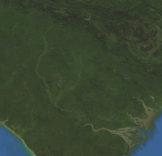
image_size = 250
image_caption = NASA Blue Marble satellite image of the Fly RiverThe Fly at Convert|1050|km|mi|-1, is the second longest
river , after theSepik , inPapua New Guinea . It rises in theStar Mountains , and crosses the south-western lowlands before flowing into theGulf of Papua in a large delta.It flows mostly through the
Western Province , though for a small stretch it forms the boundary between PNG and theIndonesia province of Papua. This section protrudes slightly to the west of the 141°E longitude line. To compensate for this slight gain in territory for PNG, the border south of the Fly River is slightly east of the 141°E longitude line. As part of this deal, Indonesia has the right to use the Fly River to its mouth for navigation.The principal tributaries of the Fly are the Strickland and the Ok Tedi. Both these rivers have been the source of environmental controversy due to tailings waste from the
Porgera Mine and theOk Tedi Mine respectively.History
The Fly was first discovered by Europeans in 1842 when
Francis Blackwood commanding thecorvette HMS "Fly", surveryed the western coast of the Gulf of Papua. [Cite web |title=Blackwood, Francis Price (1809 - 1854) |url=http://www.adb.online.anu.edu.au/biogs/A010105b.htm |publisher=Australian Dictionary of Biography] The river was named after his ship and he proclaimed that it would be possible for a small steam powered boat to travel up the mighty river.Cite book |title= Papua New Guinea: a travel survival guide |publisher=Lonely Planet |first=Mark |last=Lightbody |coauthors=Wheeler, Tony |isbn=0-908086-59-8 |year=1985 |edition=3 |pages=p. 172]In 1876 Italian explorer,
Luigi D'Albertis , was the first person to successfully attempt this when he travelled 900 km into the interior of New Guinea, in his steamer, "Neva". It was the furthest any explorer had ever been into the island.References
Wikimedia Foundation. 2010.