- Nauen
-
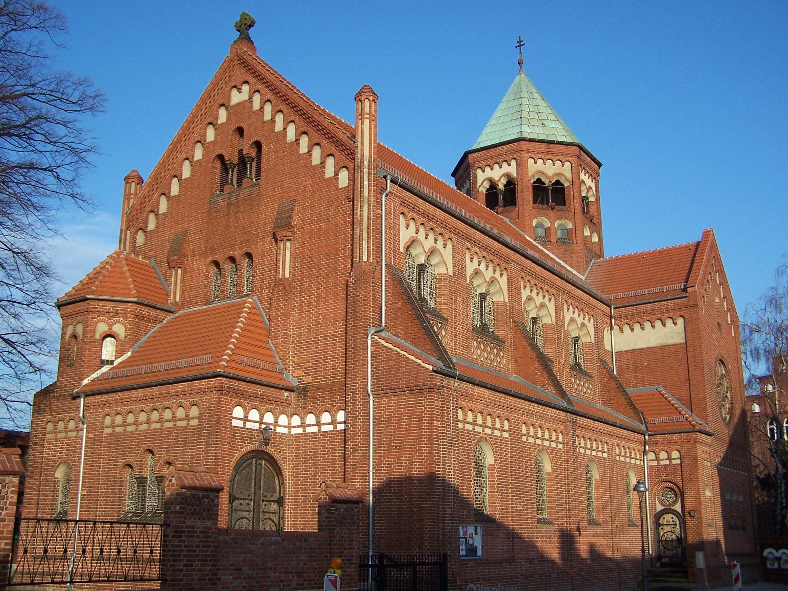
Nauen Saint Peter and Paul Church


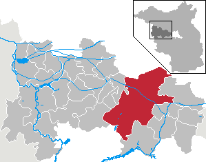
 NauenLocation of the town of Nauen within Havelland district
Coordinates 52°36′0″N 12°52′59″E / 52.6°N 12.88306°ECoordinates: 52°36′0″N 12°52′59″E / 52.6°N 12.88306°E Administration Country Germany State Brandenburg District Havelland Mayor Detlef Fleischmann (SPD) Basic statistics Area 266.78 km2 (103.00 sq mi) Elevation 35 m (115 ft) Population 16,684 (31 December 2010)[1] - Density 63 /km2 (162 /sq mi) Other information Time zone CET/CEST (UTC+1/+2) Licence plate HVL (alt NAU) Postal code 14641 Area code 03321 Website www.nauen.de Nauen is a town in the Havelland district, in Brandenburg, Germany. It is situated 38 km west of Berlin (centre) and 26 km northwest of Potsdam.
Contents
History
Nauen is well known for the location of a transmission site. It was used from 1906 to 1945 for VLF and shortwave. After 1945 the installations were dismantled, but after 1955 the GDR started building up a shortwave transmission center at Nauen. Since 1997 four turnable shortwave transmission aerials have been sited there.
See also
References
- ^ "Bevölkerung im Land Brandenburg am am 30. Dezember 2010 nach amtsfreien Gemeinden, Ämtern und Gemeinden. Gebietsstand: 31.12.2010" (in German). Amt für Statistik Berlin-Brandenburg. 31 December 2010. http://www.statistik-berlin-brandenburg.de//Publikationen/OTab/2011/OT_A01-04-00_124_201012_BB.pdf.
External links
 Media related to Nauen at Wikimedia CommonsBrieselang · Dallgow-Döberitz · Falkensee · Friesack · Gollenberg · Großderschau · Havelaue · Ketzin · Kleßen-Görne · Kotzen · Märkisch Luch · Milower Land · Mühlenberge · Nauen · Nennhausen · Paulinenaue · Pessin · Premnitz · Rathenow · Retzow · Rhinow · Schönwalde-Glien · Seeblick · Stechow-Ferchesar · Wiesenaue · Wustermark
 Categories:
- Towns in Brandenburg
- Localities in Havelland
- Brandenburg geography stubs

Wikimedia Foundation. 2010.