- Lake Tsongmo
-
Lake Tsongmo 
Location East Sikkim Coordinates 27°22′31″N 88°45′50″E / 27.37528°N 88.76389°ECoordinates: 27°22′31″N 88°45′50″E / 27.37528°N 88.76389°E Basin countries India Average depth 15 m (50 feet) Surface elevation 3,780 m (12,400 feet) Frozen winter Tsongmo Lake or Changu Lake is a glacial lake in the East Sikkim, India, some 40 kilometres (25 mi) away from Gangtok at altitude of 3,780 m (12,400 ft).
The road to Nathu La passes the lake on north side. The Chinese border crossing is only some 5 kilometres (3.1 mi) east-northeast in a straight line, but some 18 kilometres (11 mi) by road.[1]
Indian Postal Service released a commemorative stamp on the lake on 6 November 2006.[2]
See also
-

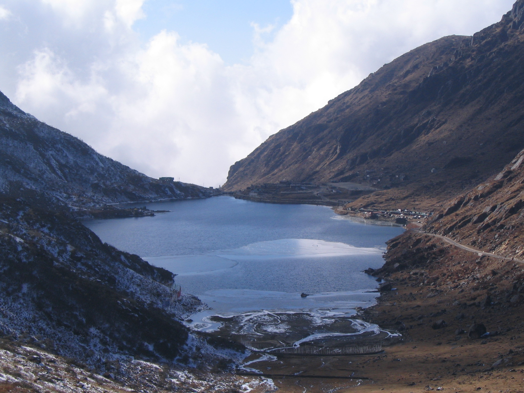
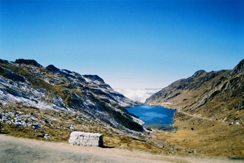
Tsongmo lake as seen from a distance
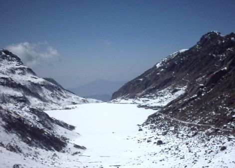
-
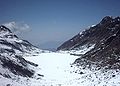
Tsongmo in Winter
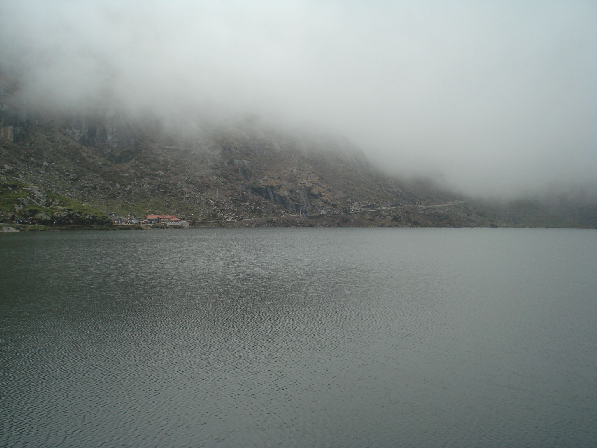
-
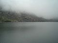
Tsongmo in Summer
References
- ^ deBruyn, Pippa; Bain, Keith; Venkatram, Niloufer; Joshi, Shonar (4 March 2008). Frommer's India (Frommer's Complete). Hoboken, New Jersey, USA: Frommer's. p. 586. ISBN 978-0470169087. http://books.google.com/books?id=qMqBvtL_nI0C&pg=PT596. Retrieved 2009-11-29.
- ^ India Post. "Stamps 2006". http://www.indiapost.gov.in/Netscape/Stamps2006.html. Retrieved 2009-11-29.
Hydrology of Sikkim Rivers Jaldhaka • Lachen • Lachung • Lhonak • Rangeet • Rangpo chu • Rangpo River • Ranikhola • Ratey Chu • Roro Chu • TeestaLakes Glaciers Categories:- Lakes of Sikkim
- Sacred lakes
- East Sikkim district
- Glacial lakes of India
-
Wikimedia Foundation. 2010.