- Noëllet
-
Noëllet

 NoëlletLocation within Pays de la Loire region
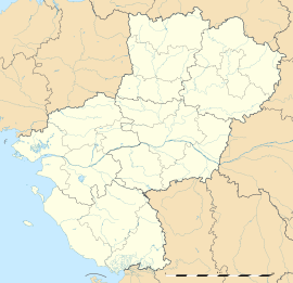 Noëllet
Administration Country France Region Pays de la Loire Department Maine-et-Loire Arrondissement Segré Canton Pouancé Statistics Elevation 33–104 m (108–341 ft)
(avg. 40 m/130 ft)Land area1 15.4 km2 (5.9 sq mi) Population2 393 (1999) - Density 26 /km2 (67 /sq mi) INSEE/Postal code 49226/ 49520 1 French Land Register data, which excludes lakes, ponds, glaciers > 1 km² (0.386 sq mi or 247 acres) and river estuaries. 2 Population without double counting: residents of multiple communes (e.g., students and military personnel) only counted once. Coordinates: 47°41′40″N 1°05′25″W / 47.6944444444°N 1.09027777778°W
Noëllet is a commune in the Maine-et-Loire department in western France.
Geography
The river Verzée flows southeastward through the northern part of the commune.
Demography
Historical population of Noëllet 1962 1968 1975 1982 1990 1999 2005 639 573 543 494 451 393 369 See also
Categories:- Communes of Maine-et-Loire
- Maine-et-Loire geography stubs


Wikimedia Foundation. 2010.