- Waterford, Maine
Infobox Settlement
official_name = Waterford, Maine
settlement_type = Town
nickname =
motto =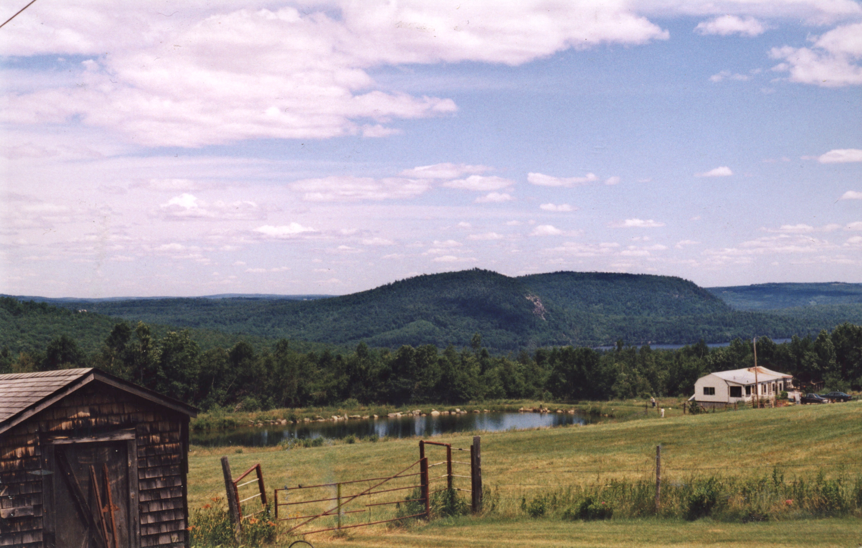
imagesize =
image_caption = View from Blackguard Road
image_|pushpin_
pushpin_label_position =left
pushpin_map_caption =Location within the state of Maine
pushpin_mapsize =
|mapsize =
map_caption =
mapsize1 =
map_caption1 =subdivision_type = Country
subdivision_name =United States
subdivision_type1 = State
subdivision_name1 =Maine
subdivision_type2 = County
subdivision_name2 = Oxford
government_footnotes =
government_type =
leader_title =
leader_name =
leader_title1 =
leader_name1 =
established_title = Incorporated
established_date = 1797unit_pref = Imperial
area_footnotes =area_magnitude =
area_total_km2 = 137.6
area_land_km2 = 130.7
area_water_km2 = 6.9
area_total_sq_mi = 53.1
area_land_sq_mi = 50.5
area_water_sq_mi = 2.6population_as_of = 2000
population_footnotes =
population_total = 1455
population_density_km2 = 11.1
population_density_sq_mi = 28.8timezone = Eastern (EST)
utc_offset = -5
timezone_DST = EDT
utc_offset_DST = -4
elevation_footnotes =
elevation_m = 204
elevation_ft = 669
latd = 44 |latm = 11 |lats = 27 |latNS = N
longd = 70 |longm = 42 |longs = 27 |longEW = Wpostal_code_type =
ZIP code
postal_code = 04088
area_code = 207
blank_name = FIPS code
blank_info = 23-80635
blank1_name = GNIS feature ID
blank1_info = 0582794
website =
footnotes =Waterford is a town in Oxford County,
Maine ,United States . The population was 1,455 at the 2000 census. It is a recreation area noted for historic architecture and scenic beauty.History
The township was granted on
February 24 ,1774 by theMassachusetts General Court to Captain Andrew Gardner and his company of soldiers for services under Sir William Phipps during the 1690 expedition against Canada. It replaced a 1735 grant called Toddstown or Township No. 6 (nowHenniker, New Hampshire ), which was ruled invalid when the state line was redrawn betweenMassachusetts andNew Hampshire in 1741 to satisfy a prior claim by the heirs ofJohn Mason .The land was surveyed in 1774; in spring of 1775, David McWain of
Bolton, Massachusetts arrived with his dog at a lot he bought for $40. He cleared land and built alog cabin , returning to Bolton for 2 winters until he settled permanently at Waterford in spring of 1777. McWain preferred solitude, and was deeply annoyed when he first saw smoke rising about convert|12|mi|km away at Paris Hill. "Humph," he said, "I would like to know who is settling over there right under my nose!" Other grantees arrived nevertheless, most from the Massachusetts towns of Bolton, Harvard, Stow, Northborough and Rowley. Indeed, the northwestern part of the plantation was once known as Rowley after the inhabitants' former hometown.On
March 2 ,1797 , Waterford was incorporated, with land annexed from Albany in 1811. The surface of the town is uneven, somewhat mountainous. It was well-suited forpasturage andorchard s, andagriculture became a principal occupation.Sawmill s were built at streams to manufacture the region's abundanttimber intolumber . Wood products includedwindow sash es, barrel staves, salt boxes andbucket s. There was also agristmill ,carriage factory and tannery. Today,Waterford Flat is a resort area, and home to The Lake House, a 1797 inn set among antique buildings listed on theNational Register of Historic Places .Notable residents
*
Charles Farrar Browne (Artemus Ward), writer
* Elbridge Gerry, congressman
*Cyrus Hamlin , missionary & educatorGeography
According to the
United States Census Bureau , the town has a total area of 53.1 square miles (137.6 km²), of which, 50.5 square miles (130.7 km²) of it is land and 2.7 square miles (6.9 km²) of it (4.99%) is water. Waterford is drained by the Crooked River. It contains a number of small lakes includingKeoka Lake and Bear Pond, as well asMount Tire'm .The town is crossed by state routes 35, 37 and 118. It is bordered by the towns of Norway to the northeast, Albany and Stoneham to the northwest, Sweden and Lovell to the southwest, and Harrison and Bridgton to the southeast.
Demographics
As of the
census GR|2 of 2000, there were 1,455 people, 590 households, and 437 families residing in the town. Thepopulation density was 28.8 people per square mile (11.1/km²). There were 895 housing units at an average density of 17.7/sq mi (6.8/km²). The racial makeup of the town was 98.83% White, 0.27% Native American, 0.07% Asian, 0.07% Pacific Islander, and 0.76% from two or more races.There were 590 households out of which 29.2% had children under the age of 18 living with them, 60.5% were married couples living together, 9.3% had a female householder with no husband present, and 25.9% were non-families. 21.0% of all households were made up of individuals and 7.6% had someone living alone who was 65 years of age or older. The average household size was 2.46 and the average family size was 2.80.
In the town the population was spread out with 23.5% under the age of 18, 6.6% from 18 to 24, 28.0% from 25 to 44, 27.6% from 45 to 64, and 14.2% who were 65 years of age or older. The median age was 40 years. For every 100 females there were 101.0 males. For every 100 females age 18 and over, there were 97.3 males.
The median income for a household in the town was $31,458, and the median income for a family was $35,000. Males had a median income of $25,560 versus $22,188 for females. The
per capita income for the town was $16,416. About 9.5% of families and 13.4% of the population were below thepoverty line , including 20.0% of those under age 18 and 7.3% of those age 65 or over.ite of interest
* Waterford Historical Society & Museum
References
External links
* [http://www.waterfordme.org/ Town of Waterford, Maine]
* [http://www.waterford.lib.me.us/ Waterford Library]
* [http://maine.gov/local/oxford/waterford/ Maine.gov -- Waterford, Maine]
* [http://books.google.com/books?id=Qwg1AAAAIAAJ&dq=History+of+Maine&lr=&num=50&as_brr=0&source=gbs_summary_s&cad=0 The History of Waterford: Oxford County, Maine (1879)]
* [http://history.rays-place.com/me/waterford-me.htm History of Waterford, Maine (1886)]

Wikimedia Foundation. 2010.