- Temple, Maine
Infobox Settlement
official_name = Temple, Maine
settlement_type = Town
nickname =
motto =
imagesize = 250px
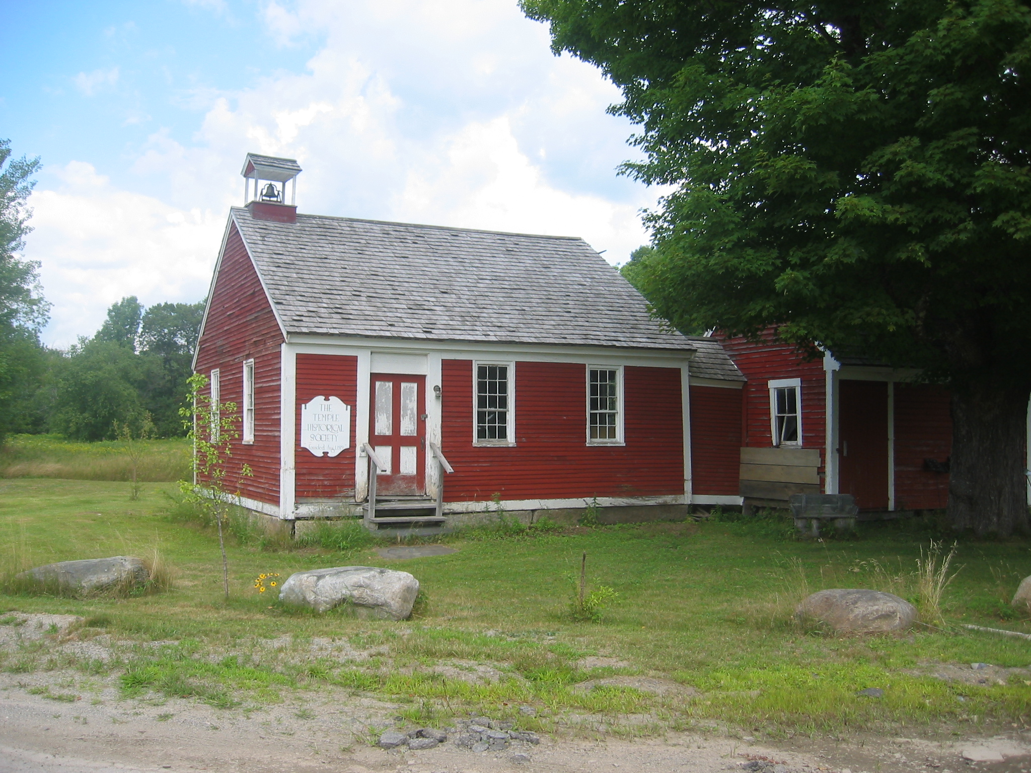
image_caption = Temple Historical Society, formerly a school
image_|pushpin_
pushpin_label_position =left
pushpin_map_caption =Location within the state of Maine
pushpin_mapsize =
|mapsize =
map_caption =
mapsize1 =
map_caption1 =subdivision_type = Country
subdivision_name =United States
subdivision_type1 = State
subdivision_name1 =Maine
subdivision_type2 = County
subdivision_name2 = Franklin
government_footnotes =
government_type =
leader_title =
leader_name =
leader_title1 =
leader_name1 =
established_title =
established_date =unit_pref = Imperial
area_footnotes =area_magnitude =
area_total_km2 = 92.7
area_land_km2 = 92.1
area_water_km2 = 0.6
area_total_sq_mi = 35.8
area_land_sq_mi = 35.6
area_water_sq_mi = 0.2population_as_of = 2000
population_footnotes =
population_total = 572
population_density_km2 = 6.2
population_density_sq_mi = 16.1timezone = Eastern (EST)
utc_offset = -5
timezone_DST = EDT
utc_offset_DST = -4
elevation_footnotes =
elevation_m = 375
elevation_ft = 1230
latd = 44 |latm = 40 |lats = 53 |latNS = N
longd = 70 |longm = 15 |longs = 35 |longEW = Wpostal_code_type =
ZIP code
postal_code = 04984
area_code = 207
blank_name = FIPS code
blank_info = 23-75980
blank1_name = GNIS feature ID
blank1_info = 0582761
website =
footnotes =Temple is a town in Franklin County,
Maine ,United States . It is located at the end of Maine State Route 43 (Temple Road), one of only two towns in Maine to be situated as such.fact|date=August 2007The town contains a school (now the Temple Historical Society), a store (Hodgkins Store, built in the early 20th century, which also houses a
post office ), atheatre (Temple Stream Theater; formerly the Congregational Church), a derelictbaseball field , and a smallfire station .What is now Maple Street was formerly named Cowturd Lane, due to "the smell of
manure , fresh fromcows walking in the road on their way to thebarn and back, hanging in the air likeswamp gas ." [Hodgkins, John E., "A Soldier's Son: An American Boyhood During World War II", Down East Books, 2006. ISBN 0-89272-716-0]"A Soldier's Son: An American Boyhood During World War II" (ISBN 0-89272-716-0) was written by Temple native and still part-time resident John E. Hodgkins about life in the town before, during and after the conflict. It was published in 2006 by Down East Books.
Bill Roorbach, another Temple native, who wrote the foreword to Hodgkins' book, released his own book on Temple Stream, entitled "Temple Stream: A Rural Odyssey", in 2006.
Geography
According to the
United States Census Bureau , the town has a total area of 35.8square mile s (92.7km² ), of which, 35.6 square miles (92.1 km²) of it is land and 0.2 square miles (0.6 km²) of it (0.61%) is water.Demographics
As of the
census GR|2 of 2000, there were 572 people, 228 households, and 165 families residing in the town. Thepopulation density was 16.1 people per square mile (6.2/km²). There were 316 housing units at an average density of 8.9/sq mi (3.4/km²). The racial makeup of the town was 98.60% White, 0.17% Native American, 0.52% Asian, and 0.70% from two or more races. Hispanic or Latino of any race were 0.52% of the population.There were 228 households out of which 35.1% had children under the age of 18 living with them, 57.5% were married couples living together, 7.9% had a female householder with no husband present, and 27.6% were non-families. 22.4% of all households were made up of individuals and 7.0% had someone living alone who was 65 years of age or older. The average household size was 2.48 and the average family size was 2.79.
In the town the population was spread out with 25.7% under the age of 18, 4.9% from 18 to 24, 29.4% from 25 to 44, 27.1% from 45 to 64, and 12.9% who were 65 years of age or older. The median age was 40 years. For every 100 females there were 107.2 males. For every 100 females age 18 and over, there were 105.3 males.
The median income for a household in the town was $33,750, and the median income for a family was $34,931. Males had a median income of $29,844 versus $24,688 for females. The
per capita income for the town was $16,905. About 7.6% of families and 10.1% of the population were below thepoverty line , including 10.1% of those under age 18 and 22.8% of those age 65 or over.Notable people
*
John F. Dryden , born in Temple.
*Helen Jewett , born in Temple.Gallery
ee also
*
Staples Pond
*Temple Stream References
Wikimedia Foundation. 2010.


