- Civic Center/UN Plaza Station (San Francisco)
Infobox Station
name=Civic Center/UN Plaza
Civic Center
type=Rapid transit (BART)Light rail (Muni)
logo=
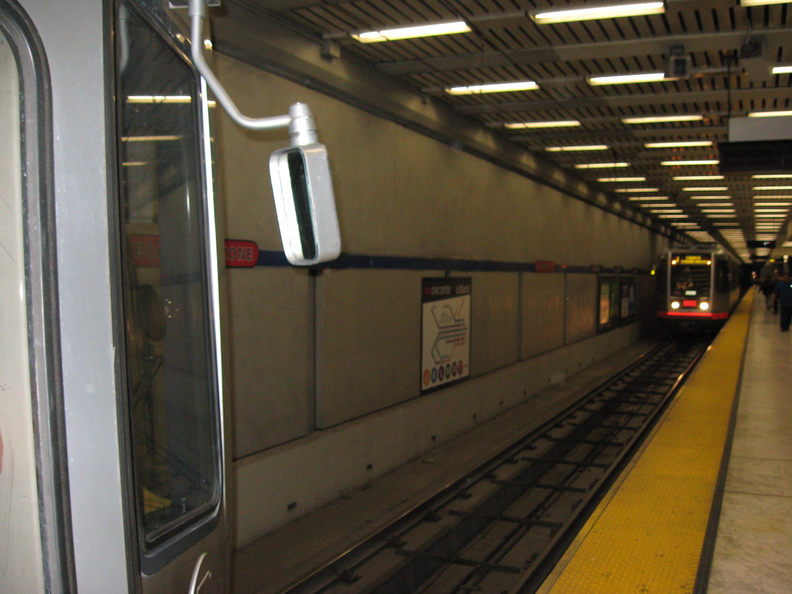
image_size=200
image_caption=Civic Center/UN Plaza.
address=1150 Market Street
San Francisco, CA 94102
line=BART
Rail color box|system=BART|line=YellowMuni
other=Rail color box|system=MUNI heritage|line=F
platform=Island (second level - Muni, third level - BART)
parking=
bicycle=
passengers=19,061 exits/day (BART)
pass_year=FY 2007
pass_percent=3.24
opened=November 3, 1973 (BART)
November 1982 (Muni)
rebuilt=
ADA=Yes
code=
owned=
zone=Civic Center/UN Plaza Station is a
Muni Metro andBay Area Rapid Transit station near the Civic Center in downtownSan Francisco, California . It is along theMarket Street Subway below Market Street between Seventh Street and Eighth Street. Like all of the shared BART and Muni stations on the Market Street Subway, the concourse mezzanine is on the first level down, anisland platform for the Muni Metro is on the second level down, and the island platform for BART is on the third level down.There are several notable buildings in the Civic Center area, including City Hall, the War Memorial Opera House, Asian Art Museum,
Louise M. Davies Symphony Hall , and theSan Francisco Public Library 's main branch.Outside, in the U.N. Plaza itself, facing Market Street, there is a fountain and a north/south cross declaring its center to be at latitude/longitude coordinates 37°46′48″N 122° 24′49″W.
Service at this station began on
November 3 ,1973 . [http://www.bart.gov/docs/BARThistory.pdf untitled ] ]Transit connections
;Muni
*5 Fulton
*6 Parnassus
*7 Haight
*9 San Bruno
*19 Polk
*21 Hayes
*26 Valencia
*71 Haight-Noriega
*71L Haight-Noriega Limited
*F Market
*L Owl
*N Owl;Golden Gate Transit ;AC Transit
*800All Nighter ee also
*
List of Bay Area Rapid Transit stations External links
* [http://www.bart.gov/stations/stationguide/stationoverview_civic.asp BART - Civic Center Station Overview]
* [http://www.mapquest.com/maps/map.adp?latlongtype=decimal&latitude=37.779&longitude=-122.414&zoom=8 Street map from Mapquest]Notes
Wikimedia Foundation. 2010.