- Northern Fells
-

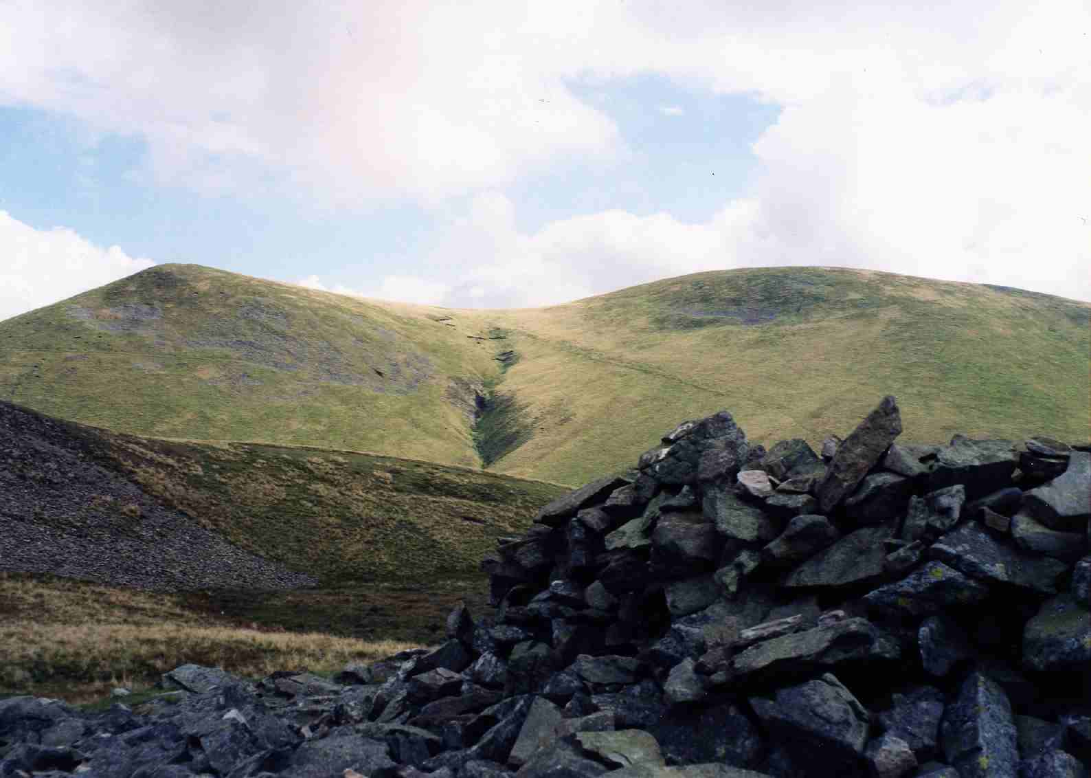
The Northern Fells are a group of hills in the English Lake District. Including Skiddaw, they occupy a wide area to the north of Keswick. Smooth sweeping slopes predominate with a minimum of tarns or crags. Blencathra in the south east of the group is the principal exception to this trend.
Contents
Partition of the Lakeland Fells
 Alfred Wainwright c. 1980s, with trademark pipe.
The Lake District is a National Park in the north west of the country which, in addition to its lakes, contains a complex range of hills. These are known locally as fells and range from low hills to the highest ground in England. Hundreds of tops exist and many writers have attempted to draw up definitive lists. In doing so the compilers frequently divide the range into smaller areas to aid their description.
The most influential of all such authors was Alfred Wainwright whose Pictorial Guide to the Lakeland Fells series has sold in excess of 2 million copies,[1] being in print continuously since the first volume was published in 1952. Wainwright divided the fells into seven geographical areas, each surrounded by valleys and low passes. While any such division must be arbitrary- and later writers have deviated to a greater or lesser extent from this blueprint-[2][3] Wainwright's sevenfold division remains the best known partitioning of the fells into 'sub ranges', each with its own characteristics. The Northern Fells are one of these divisions, covered by volume 5 of Wainwright's work.[4].
Boundaries
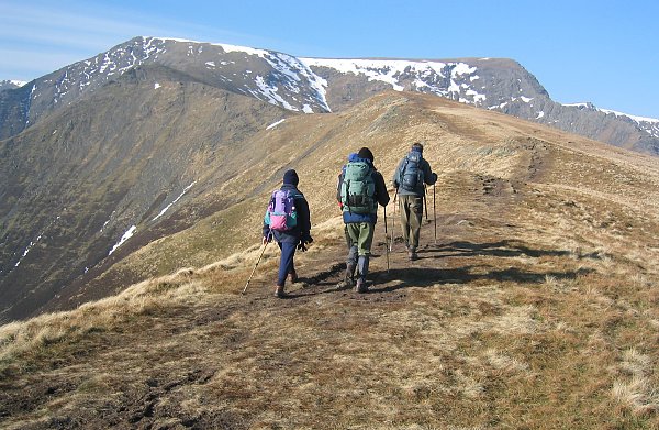
 Bannerdale Crags from Mungrisdale
The Northern Fells form a self contained unit, quite remote from the other ranges. The western boundary is formed by Bassenthwaite Lake and the southern perimeter by the River Greta, one of its principal feeders. The River Caldew bounds the eastern edge of the group, flowing away toward Carlisle. At Caldbeck the Calder is joined by the Whelpo Beck which drains many of the northern slopes. Only on the east, between the headwaters of the Greta and Caldew, does a bridge of higher ground strike out to connect with the rest of Lakeland, a long ridge curving southward to connect with Great Mell Fell in the Eastern Fells. This ridge, whilst significant topographically, is in many places unnoticed on the ground. The deep trough of Bassenthwaite wards off the North Western Fells, while the Central Fells rise beyond Keswick and the Greta.
North of the area defined by Wainwright the countryside takes on a moorland character, gradually declining toward the Solway Firth. Some of the minor tops in this area were covered by Wainwright in his later Outlying Fells volume, published in 1974.
Topography
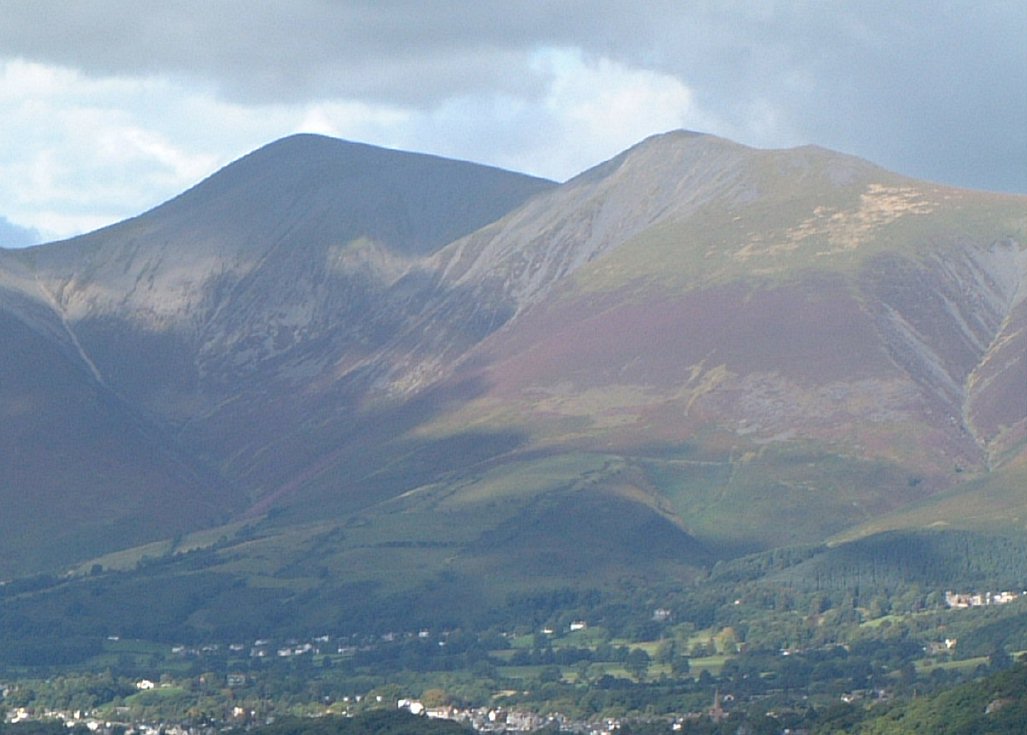
 Blencathra from Scales Fell
The Northern Fells occupy a circular area about 10 miles in diameter. The centre is slightly lower, an area of upland grazing and marshland known as Skiddaw Forest. This name may be misleading since the only trees form the windbreak of Skiddaw House. This isolated building, 3 miles from roads or other habitation, was once a shepherd's bothy. It currently serves as a youth hostel. Skiddaw Forest stands at the head of the three major rivers of the Northern Fells. The Caldew begins eastward, Dash Beck flows north west and the Glenderaterra to the south. These streams divide the circular area into three distinct sections.
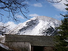
The highest ground is in the south west, between the Glenderaterra and Dash Beck. This is the Skiddaw group, well known in views down Borrowdale and Derwentwater. The steep but sweeping slopes, deep folds and smooth texture can best be described as resembling a heavy sheet of velvet laid over a supporting frame. Skiddaw stands in the centre of the group, surrounded by its many satellites. Above Bassenthwaite are Ullock Pike, Long Side, Carl Side and the sometimes wooded Dodd. Eastward are Skiddaw Little Man, Lonscale Fell and the diminutive Latrigg, a pleasant short climb from Keswick.
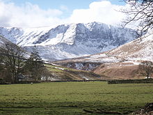
 The Tongue, Bowscale Fell
The south eastern sector is formed around Blencathra with its blasted crags and knife-edge ridges overlooking the Keswick to Penrith road. The northern ridges lead to Souther Fell (of 'Spectral Army' fame), Bannerdale Crags, Bowscale Fell and Mungrisdale Common, the most inexplicable of Wainwight's choice of fells with a barely discernible summit.
The northern section is known commonly as 'Back o'Skiddaw' and contains many lower fells of a gentler nature, although the paths to climb them can be long. In these hills are many evidences of historic mining activity, a testament to the mineral wealth beneath. The group has a central apex at Knott with Great Calva standing to the south above Skiddaw Forest. High Pike (Caldbeck) and Carrock Fell rise to the east, marching along the Caldew valley. The western ridges are more complex and include Great Sca Fell, Meal Fell, Great Cockup, Brae Fell and Longlands Fell. Alone to the extreme west across the tarn of Over Water stands Binsey.
Access for walkers

The Northern Fells are entirely surrounded by roads, but traversed by none. Keswick and Threlkeld provide good access to the south from the A66 road for the Skiddaw and Blencathra groups respectively. The minor road along the eastern boundary connects the hamlets of Mosedale and Mungrisdale and gives equally good access to the Caldew and other eastern valleys. Further minor roads circuit the northern perimeter for operations Back o'Skiddaw, connecting finally to the Keswick - Carlisle road along the shore of Bassenthwaite. From here the Dash Valley and Longside Edge can be gained. A service track follows Dash Beck past its major fall (Whitewater Dash) to Skiddaw House, the easiest entrance to Skiddaw Forest.
The tourist route up Skiddaw will generally be busy, but solitude can easily be found on the northern hills.
See also
Wainwright's Northern Fells Bakestall · Bannerdale Crags · Binsey · Blencathra · Bowscale Fell · Brae Fell · Carl Side · Carrock Fell · Dodd · Great Calva · Great Cockup · Great Sca Fell · High Pike · Knott · Latrigg · Longlands Fell · Long Side · Lonscale Fell · Meal Fell · Mungrisdale Common · Skiddaw · Skiddaw Little Man · Souther Fell · Ullock PikeFull list of Wainwrights by area References
- ^ : The Wainwright Society - The Alfred Wainwright Centenary 2007
- ^ Birkett, Bill: Complete Lakeland Fells: Collins Willow (1994) ISBN 0-00-218406-0
- ^ Richards, Mark: Lakeland Fellranger series: Collins (2002)ff: Mid-Western Fells ISBN 0-00-711368-4
- ^ Alfred Wainwright: A Pictorial Guide to the Lakeland Fells, Book 5: ISBN 0-7112-2458-7
Categories:- Fells of the Lake District
- Wainwrights


Wikimedia Foundation. 2010.