- Scott City, Kansas
Infobox Settlement
official_name = Scott City, Kansas
settlement_type =City
nickname =
motto =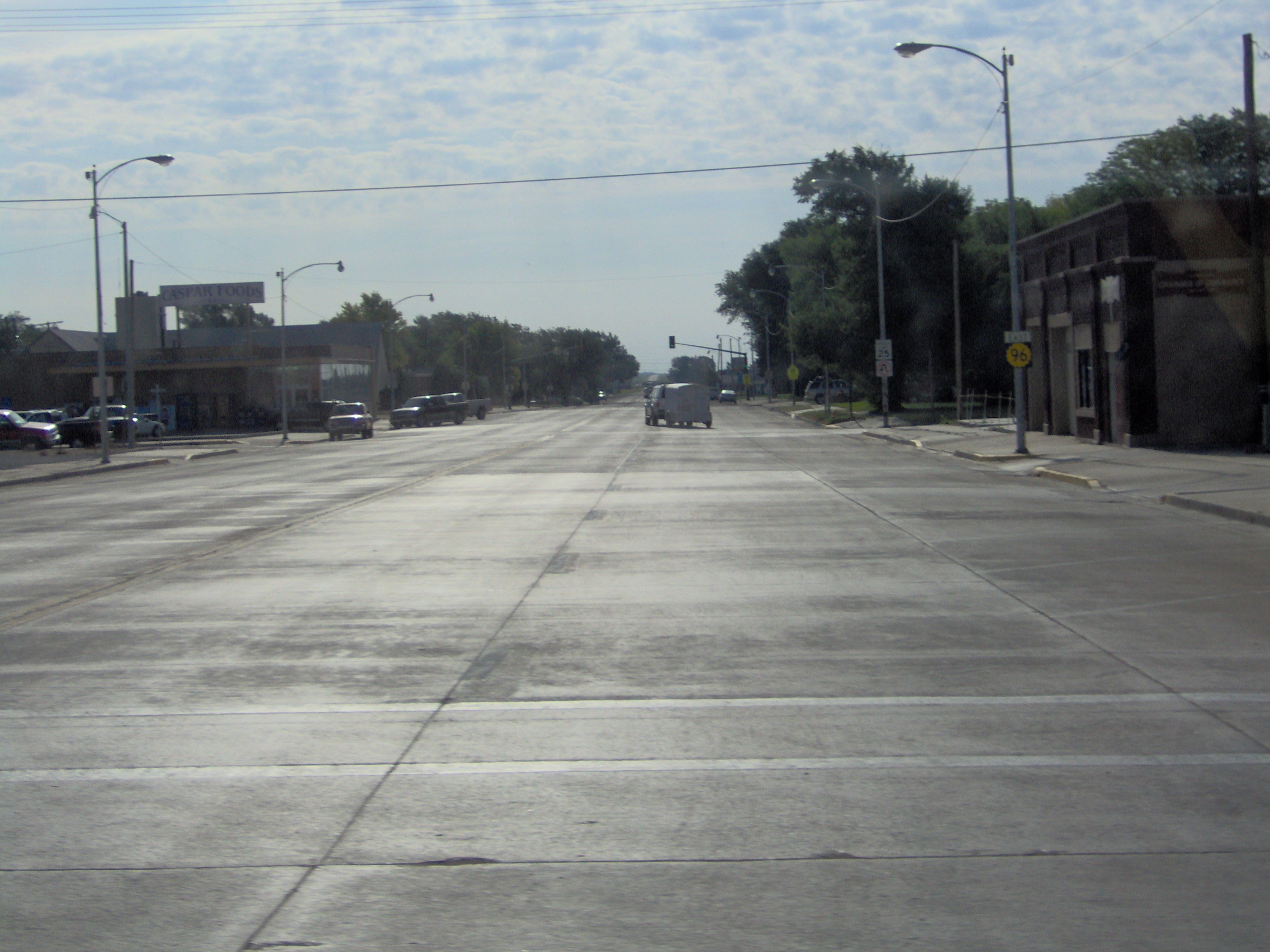
imagesize = 250px
image_caption = View along K-96 in downtown Scott City
image_
image_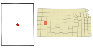
mapsize = 250px
map_caption = Location of Scott City, Kansas
mapsize1 =
map_caption1 =subdivision_type = Country
subdivision_name =United States
subdivision_type1 = State
subdivision_name1 =Kansas
subdivision_type2 = County
subdivision_name2 = Scott
government_footnotes =
government_type =
leader_title =
leader_name =
leader_title1 =
leader_name1 =
established_title =
established_date =unit_pref = Imperial
area_footnotes =
area_magnitude =
area_total_km2 = 5.6
area_land_km2 = 5.6
area_water_km2 = 0.0
area_total_sq_mi = 2.2
area_land_sq_mi = 2.2
area_water_sq_mi = 0.0population_as_of = 2000
population_footnotes =
population_total = 3855
population_density_km2 = 687.5
population_density_sq_mi = 1780.7timezone = Central (CST)
utc_offset = -6
timezone_DST = CDT
utc_offset_DST = -5
elevation_footnotes =
elevation_m = 908
elevation_ft = 2979
latd = 38 |latm = 28 |lats = 47 |latNS = N
longd = 100 |longm = 54 |longs = 27 |longEW = Wpostal_code_type =
ZIP code
postal_code = 67871
area_code = 620
blank_name = FIPS code
blank_info = 20-63600GR|2
blank1_name = GNIS feature ID
blank1_info = 0471507GR|3
website =
footnotes =Scott City is a city in the rural far west of the
U.S. state ofKansas . The population was 3,855 at the 2000 census. A city of the second class under Kansas law, it is thecounty seat of Scott CountyGR|6. Scott City is located at the intersection of K-96 and US-83.Geography
Scott City is located at coor dms|38|28|47|N|100|54|27|W|city (38.479821, -100.907603)GR|1.
According to the
United States Census Bureau , the city has a total area of 2.2square mile s (5.6km² ), all of it land.Demographics
As of the
census GR|2 of 2000, there were 3,855 people, 1,595 households, and 1,060 families residing in the city. Thepopulation density was 1,780.7 people per square mile (689.1/km²). There were 1,761 housing units at an average density of 813.5/sq mi (314.8/km²). The racial makeup of the city was 95.18% White, 0.13% African American, 0.49% Native American, 0.16% Asian, 2.88% from other races, and 1.17% from two or more races. Hispanic or Latino of any race were 7.26% of the population.There were 1,595 households out of which 31.2% had children under the age of 18 living with them, 56.6% were married couples living together, 7.4% had a female householder with no husband present, and 33.5% were non-families. 30.5% of all households were made up of individuals and 15.4% had someone living alone who was 65 years of age or older. The average household size was 2.36 and the average family size was 2.96.
In the city the population was spread out with 26.0% under the age of 18, 6.5% from 18 to 24, 25.1% from 25 to 44, 23.8% from 45 to 64, and 18.5% who were 65 years of age or older. The median age was 40 years. For every 100 females there were 93.6 males. For every 100 females age 18 and over, there were 91.5 males.
The median income for a household in the city was $36,047, and the median income for a family was $48,750. Males had a median income of $32,287 versus $19,900 for females. The
per capita income for the city was $19,227. About 2.8% of families and 6.8% of the population were below thepoverty line , including 8.5% of those under age 18 and 9.8% of those age 65 or over.References
External links
* [http://www.scottcity.net/ Scott City Website]
* [http://www.kansastravel.org/scottstatepark.htm Lake Scott State Park]
Wikimedia Foundation. 2010.