- Cliffe Hill
-
Cliffe Hill 
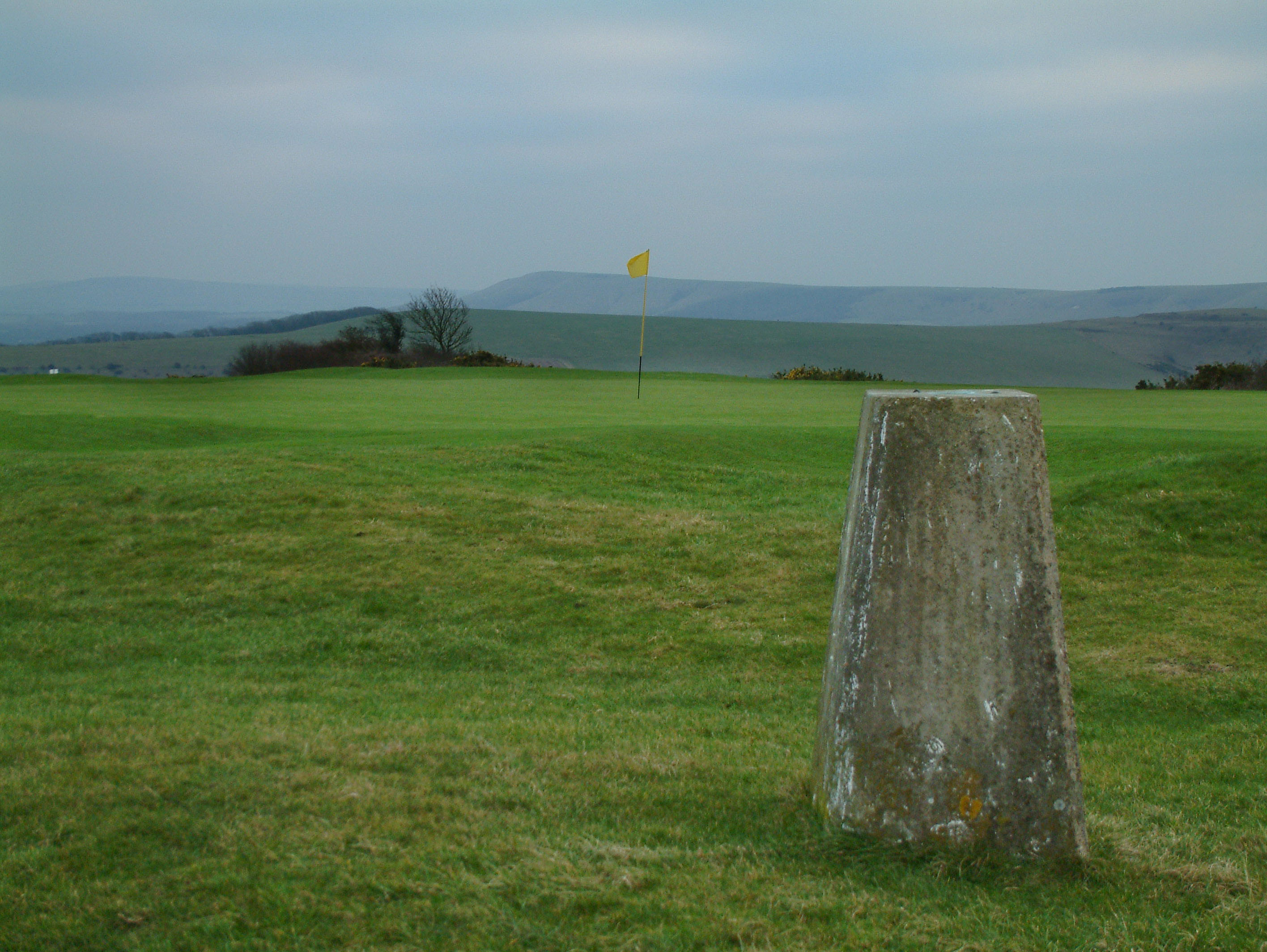
The summit of Cliffe HillElevation 164 m (538 ft) Prominence 152 m (499 ft) Parent peak Crowborough Listing Marilyn Location Location South Downs, England Topo map OS Landranger 198 OS grid TQ434107 Cliffe Hill is a hill to the east of the town of Lewes in East Sussex, England. It is impressive on its western edge, where it looms over Lewes. Its summit is covered in a golf course.
Also to be found on the hill is an obelisk known as Martyrs' Memorial commemorating the destruction of Lewes' monastery by Henry VIII and the burning of the 17 Protestant martyrs known as the Sussex Martyrs in 1555–1557. The obelisk is located close the site where a bonfire was located in 1606 on the first anniversary of the discovery of the Gunpowder Plot.
A Bronze Age barrow was located on the hill, and excavated in 1930 before being destroyed by quarrying. The barrow contained several cremations topped by a cairn of flints, and was roughly 15 metres in diameter. Another long barrow is used as a hazard on one of the golf course holes.
Although the summit is on the Lewes golf course, a public footpath runs along the southern flank of the hill, from which the golf course can readily be reached by any one of several stiles which are located on the course's southern boundary.
Coordinates: 50°52′41″N 0°02′13″E / 50.87801°N 0.03694°E
Categories:- Marilyns of England
- Hills of East Sussex
- East Sussex geography stubs
Wikimedia Foundation. 2010.