- Grovedale, Victoria
Infobox Australian Place | type = suburb
name = Grovedale
city = Geelong
state = vic
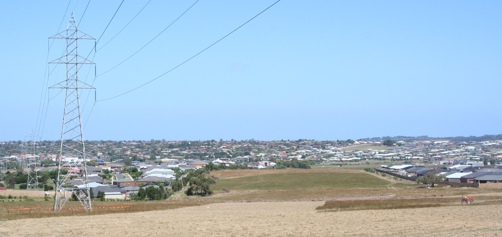
caption = Looking south towards Grovedale from Highton
lga =City of Greater Geelong
postcode = 3216
pop = 13,186 (2006)Census 2006 AUS | id = SSC22051 | name = Grovedale (State Suburb) | accessdate = 2007-10-01 | quick = on]
area =
propval = [http://www.domain.com.au/Public/SuburbReport.aspx?searchTerm=3216 $260,000] (2006)
stategov =
fedgov =
near-nw = Highton
near-n = Belmont
near-ne = Breakwater
near-w =
near-e = Marshall
near-sw =
near-s = Waurn Ponds
near-se =
dist1 =
location1=Grovedale is a mainly residential southern suburb of Geelong, Victoria,
Australia . It was renamed from Germantown during theGreat War . The suburb is bounded by the Waurn Ponds Creek, Rossack Drive, Boundary Road and Barwarre Road.History
Germantown was originally settled by several families of Lutheran German origin who arrived at Corio Bay in 1849. By the mid-1860s there were about 70 families of German origin. A Post Office had opened on 21 January 1860. Citation
last = Premier Postal History | title = Post Office List | url = https://www.premierpostal.com/cgi-bin/wsProd.sh/Viewpocdwrapper.p?SortBy=VIC&country= | access-date = 2008-04-11 ] There were also two hotels, two flour mills, two tanneries and four wool-washing businesses. A German cottage built in 1854 still stands on the
Surfcoast Highway . [http://www.geelongcity.vic.gov.au/Visiting%5FGeelong/Towns/Grovedale/ City of Greater Geelong: Grovedale] ]The hilly country and volcanic soil were ideal for orchards and vineyards. The area earned a significant reputation for its wine and was Victoria's largest wine-producing region, thanks to the efforts of Swiss migrants. In September 1915, after the outbreak of the first world war, the South Barwon Council changed the named to Grovedale - the name of a nearby property bought by Alexander Pennell in 1847. The Post Office was renamed on 1 March 1916. Citation
last = Premier Postal History | title = Post Office List | url = https://www.premierpostal.com/cgi-bin/wsProd.sh/Viewpocdwrapper.p?SortBy=VIC&country= | access-date = 2008-04-11 ]
Residential expansion commenced in Grovedale in the late 1960s, the first housing estates branching off the Surfcoast Highway. Later expansion throughout the 1970s to the 1990s moved to the west along Church Street, Pioneer Road, and Heyers Road. Today development has commenced on the last clear land on the eastern side of the highway, with Grovedale now approaching full development. Future growth is planned for a new suburb to the south, referred to as Armstrong Creek. [ [http://www.geelongcity.vic.gov.au/Services_In_Geelong/Planning/Strategic_Planning/Armstrong_Creek_Urban_Growth_Plan/ City of Greater Geelong: Armstrong Creek Urban Growth Plan] ]
Transport
Grovedale is located on the
Surfcoast Highway that links the suburb the centre of Geelong, as well as to the coastal town of Torquay. Pioneer Road runs east west though Grovedale, the road not being completed eastward across the Waurn Ponds Creek until the mid 1990s. [Gregory's 1982-83 Melbourne Street Directory]Public transport to the area is provided by
bus es operated byBenders Buslines andMcHarrys Buslines , on routes to the Geelong city centre travelling viaDeakin University , Belmont, Highton and Waurn Ponds.The 2003–04 Victorian State Budget saw funding made available for an extension of rail services on the line between Melbourne and Geelong southwards to Grovedale. A number of options were examined, among them a new
railway station at Grovedale on the Surfcoast HIghway. [ [http://www.doi.vic.gov.au/DOI/Internet/transport.nsf/AllDocs/5B8CEA11A3D8F676CA2571F800022DAD?OpenDocument Department of Infrastructure: Marshall Railway Station] ] Marshall station was opened in 2005 just outside Grovedale on the site of a closed station. [ [http://www.railgeelong.com/locations.php?name=Marshall Rail Geelong: Marshall Station] ]port
The town has an
Australian Rules football team competing in theGeelong Football League .ee also
*
Australian place names changed from German names
*Grovedale College References
Wikimedia Foundation. 2010.