- Pierceton, Indiana
Infobox Settlement
official_name = Pierceton, Indiana
settlement_type =Town
nickname =
motto =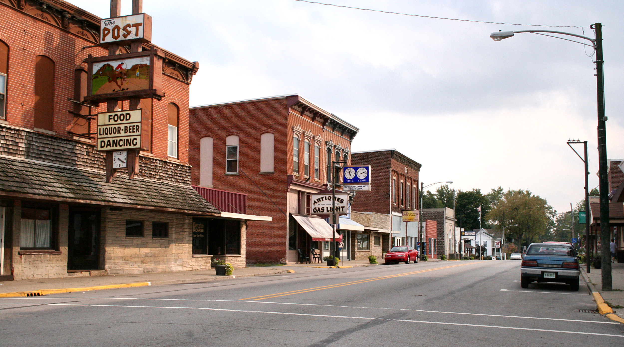
imagesize =
image_caption = Pierceton downtown.
image_
image_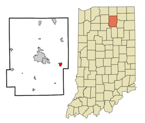
mapsize = 250x200px
map_caption = Location of Pierceton in the state ofIndiana
mapsize1 =
map_caption1 =subdivision_type = Country
subdivision_name =United States
subdivision_type1 = State
subdivision_name1 =Indiana
subdivision_type2 = County
subdivision_name2 = Kosciusko
subdivision_type3 = Township
subdivision_name3 = Washington
government_footnotes =
government_type =
leader_title =
leader_name =
leader_title1 =
leader_name1 =
established_title =
established_date =area_footnotes =
unit_pref = Imperial
area_magnitude =
area_total_km2 = 2.4
area_land_km2 = 2.4
area_water_km2 = 0.0
area_total_sq_mi = 0.9
area_land_sq_mi = 0.9
area_water_sq_mi = 0.0population_as_of = 2000
population_footnotes =
population_total = 695
population_density_km2 = 293.2
population_density_sq_mi = 759.3timezone = Eastern (EST)
utc_offset = -5
timezone_DST = EDT
utc_offset_DST = -4
elevation_footnotes =
elevation_m = 281
elevation_ft = 922
latd = 41 |latm = 11 |lats = 59 |latNS = N
longd = 85 |longm = 42 |longs = 24 |longEW = Wpostal_code_type =
ZIP code
postal_code = 46562
area_code = 574
blank_name = FIPS code
blank_info = 18-59598GR|2
blank1_name = GNIS feature ID
blank1_info = 0441110GR|3
website =
footnotes =Pierceton is a quaint town of antique shops located in Washington Township, Kosciusko County,
Indiana ,United States . Visitors can enjoy the 13 antique shops and visit the coffee house for a uniquely Pierceton experience. The population was 695 at the 2000 census.Geography
Pierceton is located at coor dms|41|11|59|N|85|42|24|W|city (41.199617, -85.706733)GR|1.
According to the
United States Census Bureau , the town has a total area of 0.9square mile s (2.4km² ), all of it land.Demographics
As of the
census GR|2 of 2000, there were 695 people, 260 households, and 187 families residing in the town. Thepopulation density was 759.3 people per square mile (291.7/km²). There were 272 housing units at an average density of 297.2/sq mi (114.2/km²). The racial makeup of the town was 94.68% White, 1.15% African American, 0.14% Native American, 0.29% Asian, 0.14% Pacific Islander, 2.45% from other races, and 1.15% from two or more races. Hispanic or Latino of any race were 5.47% of the population.There were 260 households out of which 37.7% had children under the age of 18 living with them, 51.5% were married couples living together, 15.8% had a female householder with no husband present, and 27.7% were non-families. 24.6% of all households were made up of individuals and 10.8% had someone living alone who was 65 years of age or older. The average household size was 2.67 and the average family size was 3.16.
In the town the population was spread out with 31.9% under the age of 18, 6.0% from 18 to 24, 29.4% from 25 to 44, 22.4% from 45 to 64, and 10.2% who were 65 years of age or older. The median age was 34 years. For every 100 females there were 95.8 males. For every 100 females age 18 and over, there were 87.7 males.
The median income for a household in the town was $37,188, and the median income for a family was $42,361. Males had a median income of $30,682 versus $22,000 for females. The
per capita income for the town was $14,436. About 9.4% of families and 11.9% of the population were below thepoverty line , including 15.3% of those under age 18 and 11.8% of those age 65 or over.References
External links
Wikimedia Foundation. 2010.