- Oakley, Gloucestershire
-
Coordinates: 51°53′N 2°02′W / 51.89°N 2.04°W
Oakley 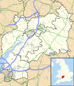
 Oakley
Oakley shown within GloucestershireOS grid reference SO9722 Shire county Gloucestershire Region South West Country England Sovereign state United Kingdom Police Gloucestershire Fire Gloucestershire Ambulance Great Western EU Parliament South West England List of places: UK • England • Gloucestershire Oakley is a district of Cheltenham in Gloucestershire, England. It is home to the smaller of Cheltenham's two GCHQ sites, and residential housing including private, council-owned and social housing. It backs onto Cleeve Hill and Harp Hill, greenbelt land and part of the Cotswold hills, including a covered reservoir. Oakley neighbours Prestbury and Whaddon. In the early 2000s, part of the GCHQ Oakley site was reclaimed and replaced with a Sainsburys supermarket. In the Domesday Book of 1086 it is recorded as held by Turstin FitzRolf.[1]
References
Categories:- Villages in Gloucestershire
- Gloucestershire geography stubs

Wikimedia Foundation. 2010.