- Pennsylvania Route 504
-
PA Route 504
Route information Maintained by PennDOT Length: 24.5 mi[1] (39.4 km) Existed: 1941 – present Major junctions West end: 
 PA 53 / PA 350 in Philipsburg
 US 322 in Philipsburg


 US 220 Alt. in Unionville
East end: 
 US 220 Alt. / PA 144 in Wingate
Location Counties: Centre Highway system Roads in Pennsylvania
Interstate • US • State • Legislative←  PA 503
PA 505  →
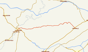
→Pennsylvania Route 504 (PA 504) is an 24.5-mile-long (39.4 km) state highway located in Centre county in Pennsylvania. The western terminus is at PA 53/PA 350 in Philipsburg. The eastern terminus is at US 220 Alternate/PA 144 in Wingate, Pennsylvania.
It roughly follows a portion of the path of the historic 1799 State Road[2] from "Bald Eagle's Nest" (Milesburg) to Fort Le Boeuf (Waterford, PA), which was laid out and cleared under contract with the Pennsylvania Assembly and opened for travel by 1802. The State Road was an important thoroughfare during the War of 1812, and was for many years the primary route for mail, goods and travelers between Philadelphia and Erie. Many of the original, 19th-century stone mileposts are preserved along the northern side of the highway.
Route description
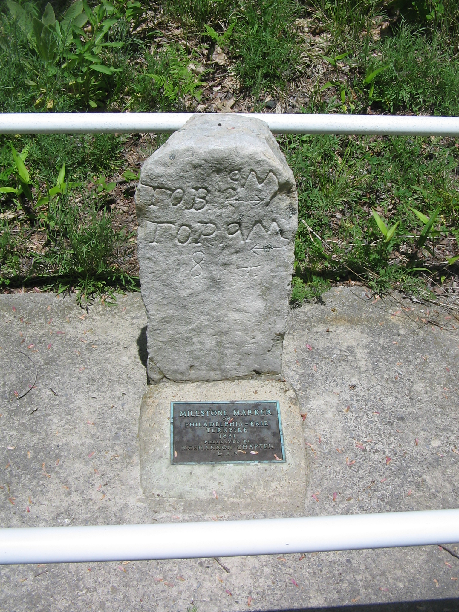
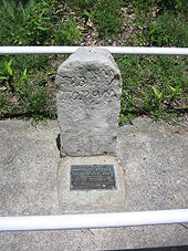 One of the historic mile markers from 1821 along the highway, within Black Moshannon State Park
PA 504 begins at an intersection with PA 53 and PA 350 at the square in the center of Philipsburg, heading east-northeast on two-lane undivided East Presqueisle Street. West of the square, the road continues as a part of PA 53. The route passes through residential areas, passing woods to the south as it forms the border between Phillipsburg to the north and Rush Township to the south. PA 504 fully enters Phillipsburg again and passes more homes before coming to an intersection with US 322. Following this, the road heads into Rush Township and becomes unnamed, curving east through rural residential areas. The route passes through a mix of farmland and woodland prior to entering Moshannon State Forest. PA 504 continues into Black Moshannon State Park, where it passes over Black Moshannon Creek and runs through the community of Antes. The road leaves the state park and continues through more of the Moshannon State Forest. The route heads into Union Township and becomes Rattlesnake Pike, leaving the state forest and passing through more woodland with some agricultural clearings, making a few curves. PA 504 turns southeast and passes through more rural areas before crossing into Unionville and becoming Allegheny Street, passing homes and intersecting US 220 Alternate. At this point, PA 504 turns northeast to form a concurrency with US 220 Alternate on Union Street, running past more residences. The road leaves Unionville for Union Township, becoming South Eagle Valley Road and running through a mix of farmland and woodland with some homes. The two routes continue into Boggs Township and reaches an intersection with PA 144 in the community of Wingate. Here, PA 504 ends and PA 144 turns northeast to join US 220 Alternate.[1][3]
Major intersections
The entire route is in Centre County.
Location Mile Destinations Notes Philipsburg PA 53 / PA 350 south (Centre Street/West Presqueisle Street)Western terminus US 322 (Railroad Street)Unionville
US 220 Alt. south (Union Street)West end of US 220 Alt. overlap Wingate
US 220 Alt. north / PA 144 (South Eagle Valley Road/Runville Road)Eastern terminus 1.000 mi = 1.609 km; 1.000 km = 0.621 mi References
- ^ a b Google, Inc. Google Maps – overview of Pennsylvania Route 504 (Map). Cartography by Google, Inc. http://maps.google.com/maps?f=d&source=s_d&saddr=40.896602,-78.220321&daddr=runville+road+and+eagle+valley+road&geocode=FVoIcAId33NW-w%3BFSeccAIdPKJc-ynxGZJdFaLOiTFB4MRqv2f9WA&hl=en&mra=ls&sll=40.925057,-77.828007&sspn=0.058236,0.169086&ie=UTF8&ll=40.916626,-78.018036&spn=0.232973,0.676346&t=h&z=11. Retrieved May 27, 2011.
- ^ "A Pioneer Outline History of Western Pennsylvania" McKnight, Dr. William J.
- ^ PennDOT (2011). Centre County, Pennsylvania Highway Map (Map). ftp://ftp.dot.state.pa.us/public/pdf/BPR_pdf_files/Maps/GHS/Roadnames/centre_GHSN.PDF. Retrieved May 27, 2011.
Categories:- State highways in Pennsylvania
- Transportation in Centre County, Pennsylvania


Wikimedia Foundation. 2010.