- Gunn, Northern Territory
Infobox Australian Place | type = suburb
name = Gunn
city = Darwin
state = nt
caption =
lga = City of Palmerston
postcode = 0832
est = 1970's
pop = 2,713 (2006) |pop_footnotes=Census 2006 AUS
id = SSC72031
name = Gunn (State Suburb)
accessdate = 2008-01-23
quick = on]
area = 2.0
propval = $385,000 [ [http://www.domain.com.au/public/SuburbProfile.aspx?mode=buy&searchterm=Gunn#mapanchor 2006 Gunn Property Value] ]
stategov = Brennan
fedgov = Solomon
near-nw =City of Palmerston
near-n = Farrar
near-ne = Farrar
near-w = Gray
near-e = Johnston
near-sw = Gray
near-s = Bakewell
near-se = Johnston
dist1 = 23.1
location1= Darwin
dist2 = 1.6
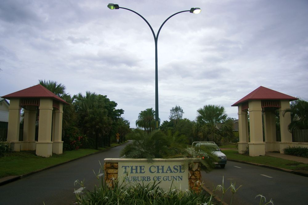
location2= PalmerstonGunn is an inner-city
suburb of Palmerston. It is 23km SE of the DarwinCBD . ItsLocal Government Area is theCity of Palmerston . Gunn is bounded to the north by theStuart Highway , to the west is Chung Wah Terrace, and to the south and east is Roystonea Avenue. The suburb is mostly composed of developments from the mid 1970's afterCyclone Tracy struck Darwin in 1974.The suburb of Gunn is named after Mrs
Jeannie Gunn , born inCarlton ,Melbourne asJeannie Taylor in June, 1870. Miss Jeannie Taylor metAeneas Gunn . The Gunns came toPort Darwin on theSS Guthrie . Aeneas Gunn had previously been to theNorthern Territory in 1890.Transport
Gunn's "main street" is Lakeview Avenue, running from Roystonea Avenue to Chung Wah Terrace. It is entirely a two-lane road, with one
roundabout . Roystonea Avenue forms the southern boundary of Gunn, with 3 roundabouts in Gunn. It runs from Highway 1 to Temple Terrace in Gray.References
External links
*http://www.nt.gov.au/lands/lis/placenames/origins/greaterdarwin.shtml#g
Wikimedia Foundation. 2010.