- Pennsylvania Route 281
-
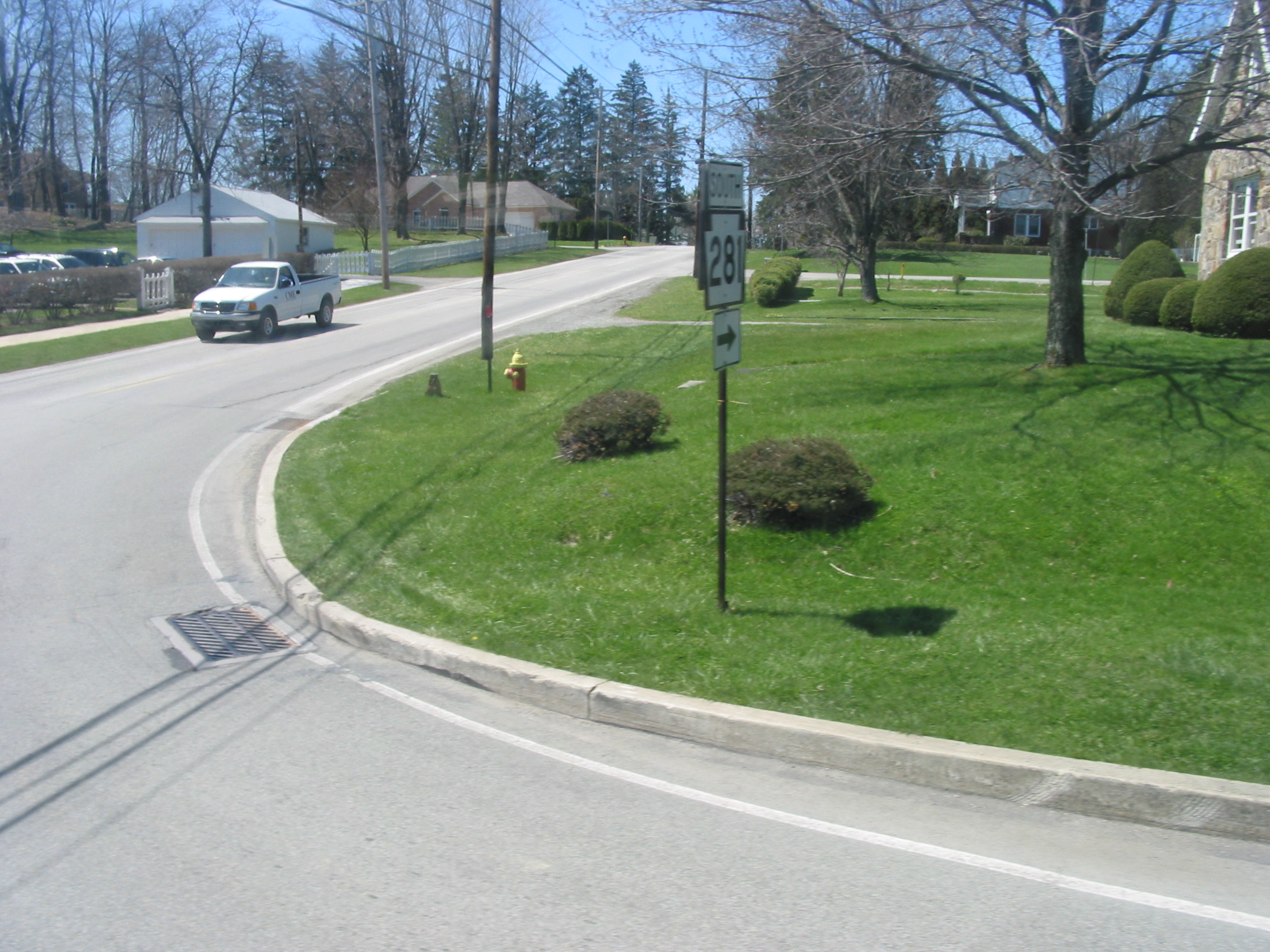
PA Route 281

Route information Maintained by PennDOT Length: 45.8 mi[1] (73.7 km) Existed: 1928 – present Major junctions South end:  WV 26 at the West Virginia state line near Markleysburg
 US 40 near Markleysburg
 PA 523 in Confluence
 PA 653 from New Lexington to New Centerville
 PA 601 in Somerset
 PA 31 in Somerset
 US 219 in Somerset Township
North end:  US 30 in Stoystown
Location Counties: Fayette, Somerset Highway system Roads in Pennsylvania
Interstate • US • State • Legislative←  PA 280
PA 282  →
→Pennsylvania Route 281 (PA 281) is an 45-mile (72 km) long state highway located in Fayette and Somerset counties in Pennsylvania. The southern terminus is the West Virginia state line near Markleysburg. The northern terminus is at US 30 in Stoystown.
Contents
Route description
Fayette County
PA 281 begins at the West Virginia border in Henry Clay Township, Fayette County, where the road continues into that state as WV 26. From the state line, the route heads northeast on two-lane undivided Bruceton Road, heading through wooded areas with some fields and homes. PA 281 curves to the east and crosses into Markleysburg, where it heads into residential areas and turns north-northeast onto Main Street. The road passes more homes before heading back into Henry Clay Township and continues through woodland with a few small fields and residences. The route comes to an intersection with US 40 and turns east to form a short concurrency with that route on National Pike before turning north onto Mae West Road. PA 281 continues through rural areas with some homes, winding to the northeast before turning east.[1][2]
Somerset County
PA 281 crosses the Youghiogheny River into Addison Township in Somerset County and becomes an unnamed road, heading into Confluence and crossing the Casselman River. Here, the route comes to an intersection with PA 523. At this point, PA 281 turns north to form a concurrency with that route on Oden Street, passing residences. PA 523 ends at the point where PA 281 turns to the east onto Logan Place. The route heads past businesses before turning northeast onto Park Street and passing under a CSX railroad line. The road turns east and crosses Laurel Hill Creek, passing between woods to the north and fields to the south as it enters Lower Turkeyfoot Township. A short distance later, PA 281 heads into Ursina and passes through residential areas with some fields and trees. The road curves northeast and heads back into Lower Turkeyfoot Township, becoming Kingwood Road and crossing Laurel Hill Creek again. The route winds through a mix of farmland and woodland with some homes as it runs a short distance to the north of a CSX railroad line, passing through Brook. PA 281 continues into Upper Turkeyfoot Township and heads away from the railroad tracks, running through open agricultural areas with some woods and homes as it goes through Paddytown. The road curves more to the north and heads through more rural areas, passing through the residential community of Kingwood. The route continues northeast and heads into Middlecreek Township, curving north and intersecting PA 653 in New Lexington. At this point, PA 281 turns east to form a concurrency with PA 653, passing through more farmland on Kingwood Road. The road heads into wooded areas, crossing the Middle Creek into Milford Township and turning northeast. The two routes head into more agricultural land and cross into New Centerville, passing homes. PA 653 splits from PA 281 by turning south onto Bridge Street and PA 281 runs through more residential areas on New Centerville Road. The road curves north and heads back into Milford Township, running through open farmland. The route runs northeast through more agricultural areas with some trees and homes, crossing into Somerset Township.[1][3]
PA 281 continues through more rural areas, entering Somerset and becoming Tayman Avenue as it passes homes. At the Harrison Avenue intersection, PA 281 becomes a one-way pair concurrent with PA 31, heading east on Tayman Avenue northbound and west on West Main Street southbound, carrying two lanes in each direction. The one-way pairing becomes West Patriot Street northbound and West Main Street southbound as it heads into the commercial downtown of Somerset. PA 31/PA 281 intersect the southern terminus of PA 601, becoming East Patriot Street northbound and East Main Street southbound. PA 281 splits from PA 31 by turning north onto two-way, two-lane, undivided North Pleasant Avenue, passing between homes to the west and a CSX railroad line to the east. The route becomes the border between Somerset to the west and Somerset Township to the east, turning northeast onto Stoystown Road to fully enter Somerset Township and cross the railroad tracks. The road passes through residential areas as it crosses under I-70/I-76 (Pennsylvania Turnpike). PA 281 passes through farmland and woodland with some homes and businesses as it comes to an interchange with the US 219 freeway, becoming a divided highway at this point. Past this interchange, the road becomes undivided again and continues through more rural areas with residences, crossing the CSX line again. The route passes to the northwest of Somerset County Airport and runs through the residential community of Friedens. The road enters Quemahoning Township and runs through farmland with some woods and homes, turning north into more wooded areas and passing through Reading Mines. PA 281 continues north to its terminus at an interchange with US 30, where the road heads north into Stoystown as East Main Street.[1][3]
Major intersections
County Location Mile Destinations Notes Fayette West Virginia state line 0.0 WV 26Southern terminus of PA 281, continues as WV 26 Elk Park US 40 west (National Road)South end of US 40 concurrency US 40 east (National Road)North end of US 40 concurrency Somerset Confluence PA 523 (Oden Street)South end of PA 523 concurrency PA 523Northern terminus of PA 523 New Lexington PA 653 west (Scullton Road)South end of PA 653 concurrency New Centerville PA 653 east (Bridge Street)North end of PA 653 concurrency Somerset PA 31 west (West Main Street)West end of PA 31 concurrency on one-way pairs PA 601 (Center Avenue)Southern terminus of PA 601 PA 31 east (East Main Street)East end of PA 31 concurrency on one-way pairs US 219Interchange Stoystown US 30 (Lincoln Highway)Interchange, northern terminus of PA 281 1.000 mi = 1.609 km; 1.000 km = 0.621 mi References
- ^ a b c d Google, Inc. Google Maps – overview of Pennsylvania Route 281 (Map). Cartography by Google, Inc. http://maps.google.com/maps?saddr=W+Virginia+26+N&daddr=E+Main+St&hl=en&sll=40.040495,-79.004745&sspn=0.127479,0.338173&geocode=FR8YXgIdqB5D-w%3BFe_aYwIdeElL-w&vpsrc=0&mra=ls&t=h&z=10. Retrieved September 14, 2011.
- ^ PennDOT (2011). Fayette County, Pennsylvania Highway Map (Map). ftp://ftp.dot.state.pa.us/public/pdf/BPR_pdf_files/Maps/GHS/Roadnames/fayette_GHSN.PDF. Retrieved May 15, 2011.
- ^ a b PennDOT (2011). Somerset County, Pennsylvania Highway Map (Map). ftp://ftp.dot.state.pa.us/public/pdf/BPR_pdf_files/Maps/GHS/Roadnames/somerset_GHSN.PDF. Retrieved May 28, 2011.
Categories:- State highways in Pennsylvania


Wikimedia Foundation. 2010.