- Maly Taymyr Island
-
Maly Taymyr Russian: Малый Таймыр 
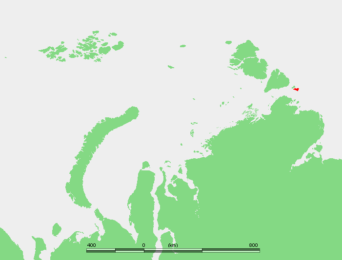
Location of Maly Taymyr Island in the Laptev Sea.Geography Location Laptev Sea Coordinates 78°7′N 107°15′E / 78.117°N 107.25°E Archipelago Severnaya Zemlya Area 232 km2 (89.6 sq mi) Country Maly Taymyr Island (Russian: Малый Таймыр, or Little Taymyr Island) is an island in the Laptev Sea, Russian Arctic. It is located off the southeastern end of the Severnaya Zemlya archipelago and northeast of the Taymyr Peninsula and has a smaller island, Starokadomsky Island, close by on its northwestern side.
The area of Maly Taymyr Island is 232 km2 (90 sq mi) and its location is 78°7′N 107°15′E / 78.117°N 107.25°E. The Vilkitsky Strait runs south of Maly Taymyr Island and its waters, as well as the waters surrounding the two islands, are covered with pack ice during the long and bitter winters. There are many ice floes even in the short summer, between June and September.
Maly Taymyr Island belongs to the Krasnoyarsk Krai administrative division of the Russian Federation and is part of the Great Arctic State Nature Reserve – the largest nature reserve of Russia and one of the biggest in the world.
Maly Taymyr Island was discovered by Boris Vilkitsky in 1913. Formerly this island was called Tsarevich Alexei Island, or simply Alexei Island, after the son of Zar Nicholas II of Russia. But after the 1917 October Revolution it was renamed "Maly Taymyr". In 2005 a request was forwarded to the local government in Krasnoyarsk Krai in order to reinstate its former name to the island.
On the northern shores of Maly Taymyr there is an island called Ostrov Oktyabrenok.
Maly Taymyr Island should not be confused with Taymyr Island in the Kara Sea.
See also
References
External links
Aerosyemki • Anzhu Islands • Arangastakh • Belkovsky Island • Bolshevik • Bolshoy Begichev • Brusneva • Bulgunnyakhtakh-Belkey • Chychas-Aryta • Daldalakh • Dallalakh • Dunay Islands • Dzhyangylakh • Faddey Islands • Bolshoy Lyakhovsky • Komsomolets • Komsomolskaya Pravda Islands • Kotelny • Lena Delta Islands • Leykina • Maly Lyakhovsky • Lyakhovsky Islands • Makar Island • Maliy Begichev • Maly Taymyr • Muostakh • Nanosnyy • New Siberian Islands • Orto Ary • Peschany • Petrushka • Preobrazheniya • Psov Island • Sagastyr • Saint Andrew Island • Saint Peter Islands • Salkay • Samakh Ary Dyete • Samolyota • Semyonovsky • Severnaya Zemlya • Shelonsky Islands • Starokadomsky • Stolbovoy • Vos'mogo Marta • Vilkitsky Islands • Yarok • Zalivnyye Islands
This Krasnoyarsk Krai location article is a stub. You can help Wikipedia by expanding it.