- Verwall Alps
Geobox|Range
name=Verwall Alps
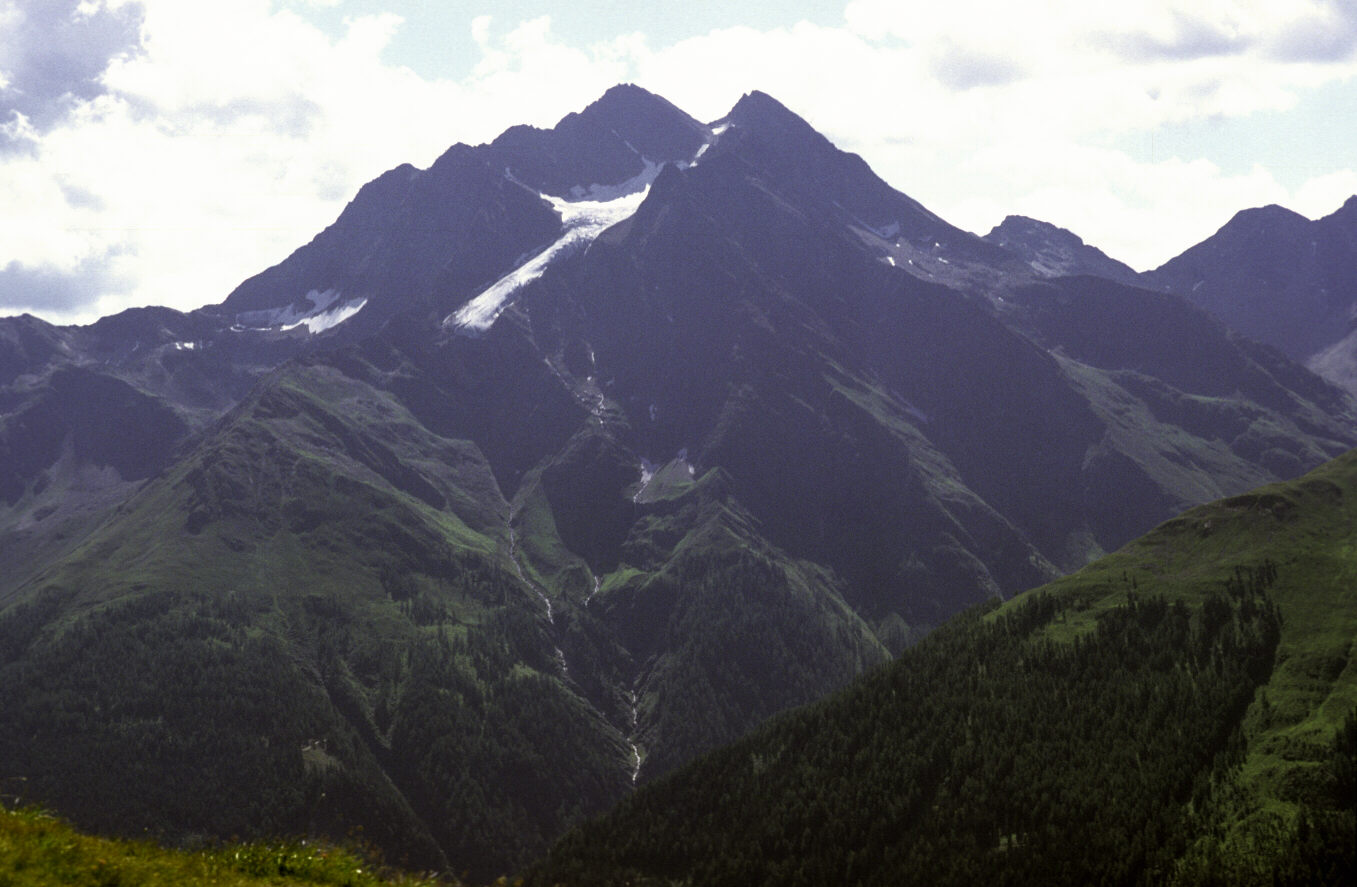
image_caption=Hoher Riffler
country=Austria| country1 = | country2=
state= Vorarlberg| state1=Tyrol (state) | state2=
parent=Central Eastern Alps
border=Samnaun Alps| border1=Silvretta| border2=Rätikon
highest=Hoher Riffler
highest_elevation=3168
highest_lat_d=47|highest_lat_m=6|highest_lat_s=58|highest_lat_NS=N
highest_long_d=10|highest_long_m=22|highest_long_s=16|highest_long_EW=E
geology= | period= |orogeny=
area= | length= | length_orientation=
width= | width_orientation=
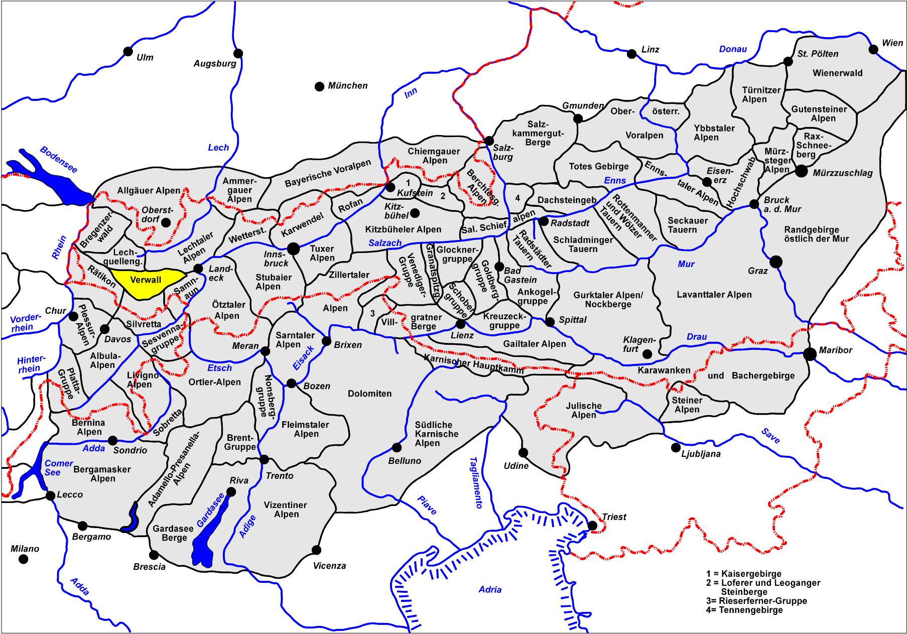
map_caption=Location of the Verwall AlpsThe Verwall Alps are amountain range of theCentral Eastern Alps at the border of theAustria n states of Tyrol andVorarlberg .It includes the following peaks:
*
Patteriol 3059 meters (10,037 feet)
*Kuchenspitze 3148 meters (10,401 feet)
*Küchlspitze 3147 meters (10,315 feet)
*Hoher Riffler 3168 meters (10,394 feet)For a list of passes, see
Passes of the Silvretta and Rätikon Ranges
Wikimedia Foundation. 2010.