- Samnaun Alps
Geobox|Range
name=Samnaun Alps
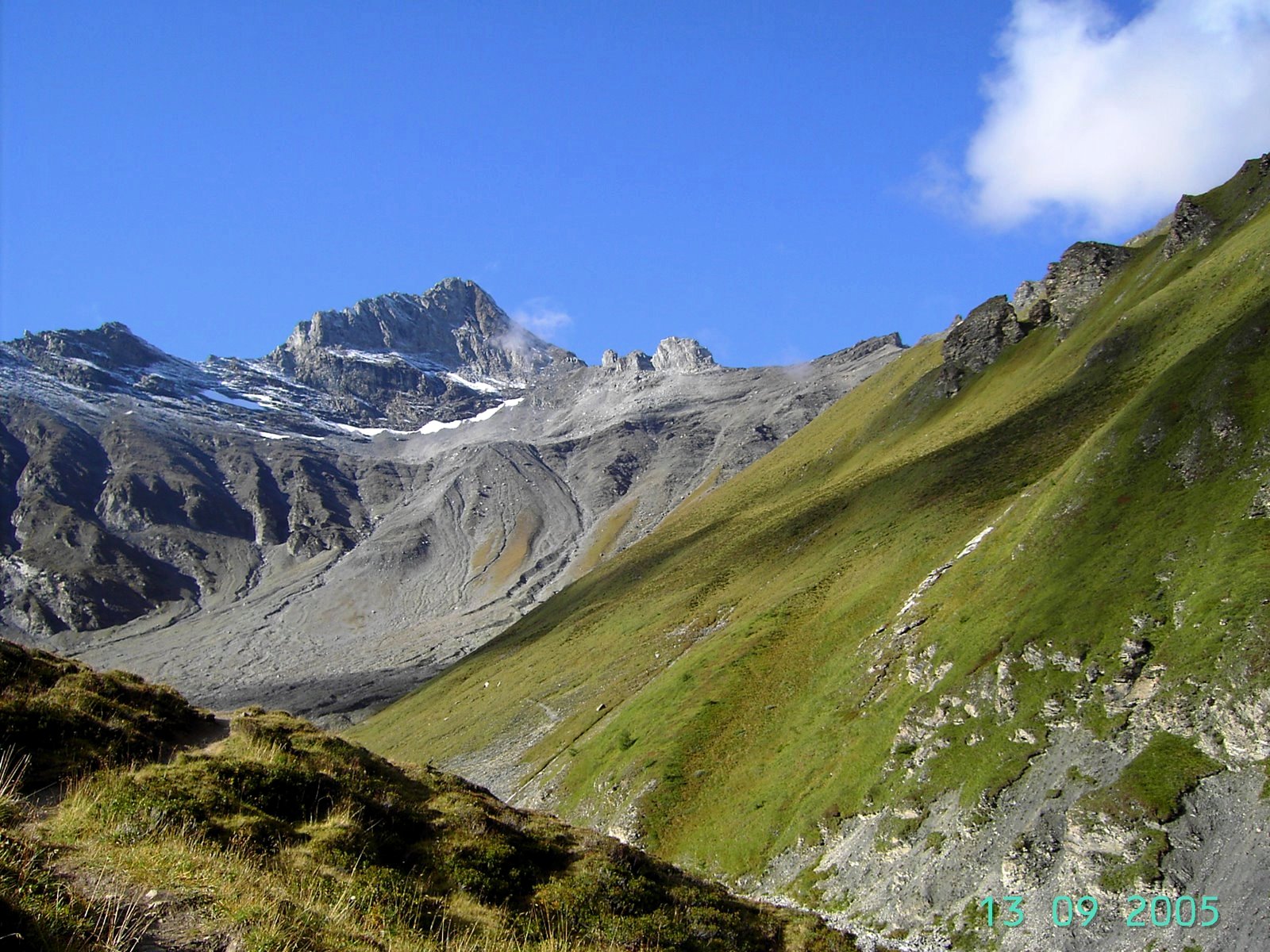
image_caption=Muttler
country=Austria| country1=Switzerland | country2=
state=Tyrol (state)| state1=Graubünden | state2=
parent=Central Eastern Alps
border=Verwall Alps| border1=Silvretta| border2=Sesvenna Range| border3=Ötztal Alps
highest=Muttler
highest_elevation=3293
highest_lat_d=46|highest_lat_m=54|highest_lat_s=1|highest_lat_NS=N
highest_long_d=10|highest_long_m=22|highest_long_s=42|highest_long_EW=E
geology= | period= |orogeny=
area= | length= | length_orientation=
width= | width_orientation=
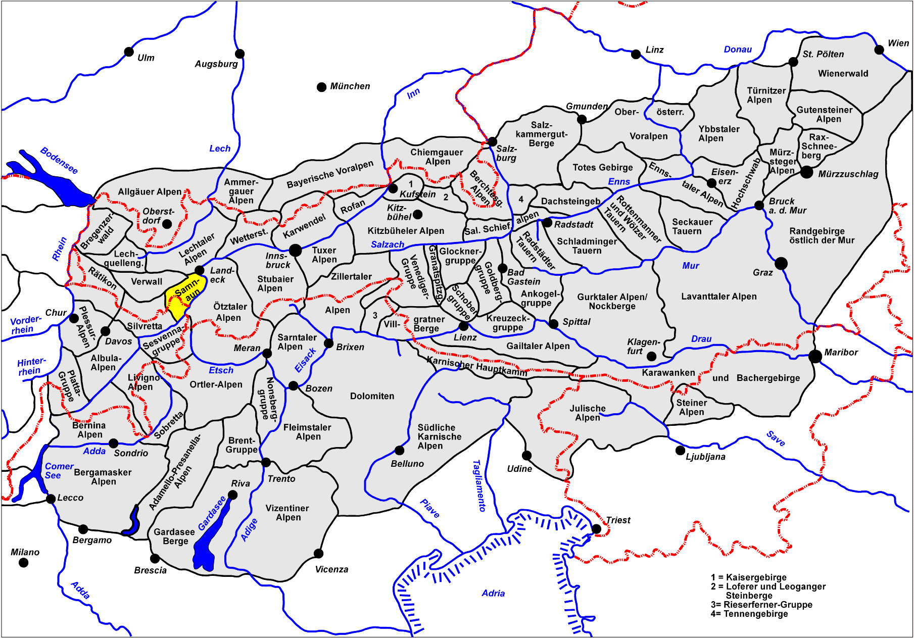
map_caption=Location of the Samnaun AlpsThe Samnaun Alps are amountain range of theCentral Eastern Alps , named after the Swiss municipality ofSamnaun . They are located at the border of theAustria n state of Tyrol and theGraubünden canton ofSwitzerland .They include the following peaks:
*
Muttler 3293 meters (10,804 feet)
*Piz Tschütta 3258 meters (10,689 feet)
*Vesilspitze 3115 meters (10,220 feet)
*Piz Rots 3097 meters (10,161 feet)
*Vesulspitze 3092 meters (10,145 feet)
*Hexenkopf 3038 meters (9968 feet)
*Bürkelkopf 3033 meters (9951 feet)
*Gemspleiskopf 3017 meters (9899 feet)
*Rothbleiskopf 2938 meters (9640 feet)For a list of passes, see
Passes of the Silvretta and Rätikon Ranges .ee also
*
Swiss Alps
Wikimedia Foundation. 2010.