- Chorges
-
Chorges
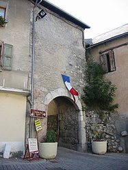
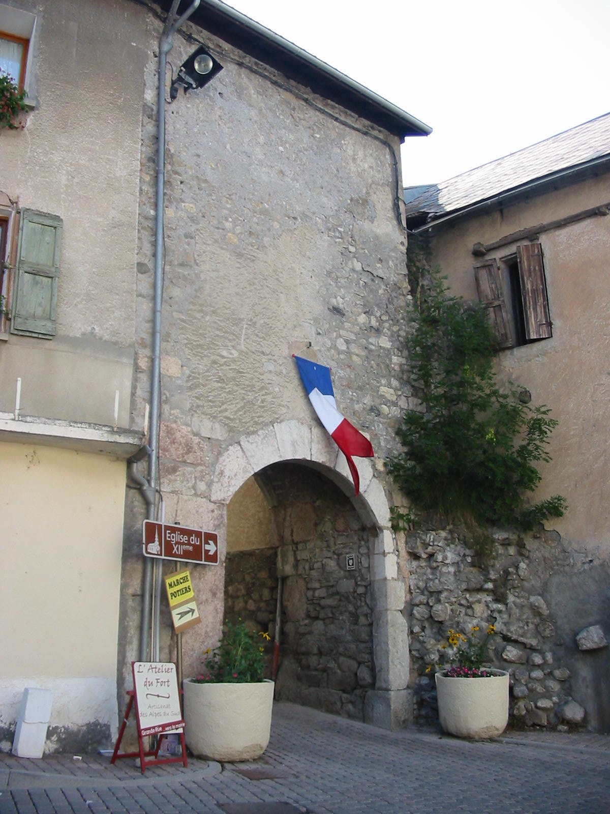
Porte des Souchons 

 Chorges
Administration Country France Region Provence-Alpes-Côte d'Azur Department Hautes-Alpes Arrondissement Gap Canton Chorges Intercommunality Avance Mayor Christian Durand
(2008–2014)Statistics Elevation 773–2,485 m (2,536–8,153 ft)
(avg. 864 m/2,835 ft)Land area1 53.34 km2 (20.59 sq mi) Population2 2,542 (2008) - Density 48 /km2 (120 /sq mi) INSEE/Postal code 05040/ 05230 1 French Land Register data, which excludes lakes, ponds, glaciers > 1 km² (0.386 sq mi or 247 acres) and river estuaries. 2 Population without double counting: residents of multiple communes (e.g., students and military personnel) only counted once. Coordinates: 44°32′47″N 6°16′38″E / 44.5463888889°N 6.27722222222°E
Chorges is a commune in the Hautes-Alpes department in southeastern France.
It is close to Gap. The name Chorges derives from Latin Catorimagus, itself coming from the Alpine tribe of the Caturiges in the ancient Roman province of Alpes Maritimae.
Contents
Location
The village is 11 km (6.8 mi) away from La Bâtie-Vieille.
Population
Historical population of Chorges 1962 1968 1975 1982 1990 1999 2008 1141 1173 1242 1391 1561 1882 2485 See also
References
External links
Categories:- Communes of Hautes-Alpes
- Hautes-Alpes geography stubs


Wikimedia Foundation. 2010.