- Champoléon
-
Champoléon
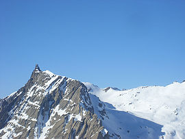
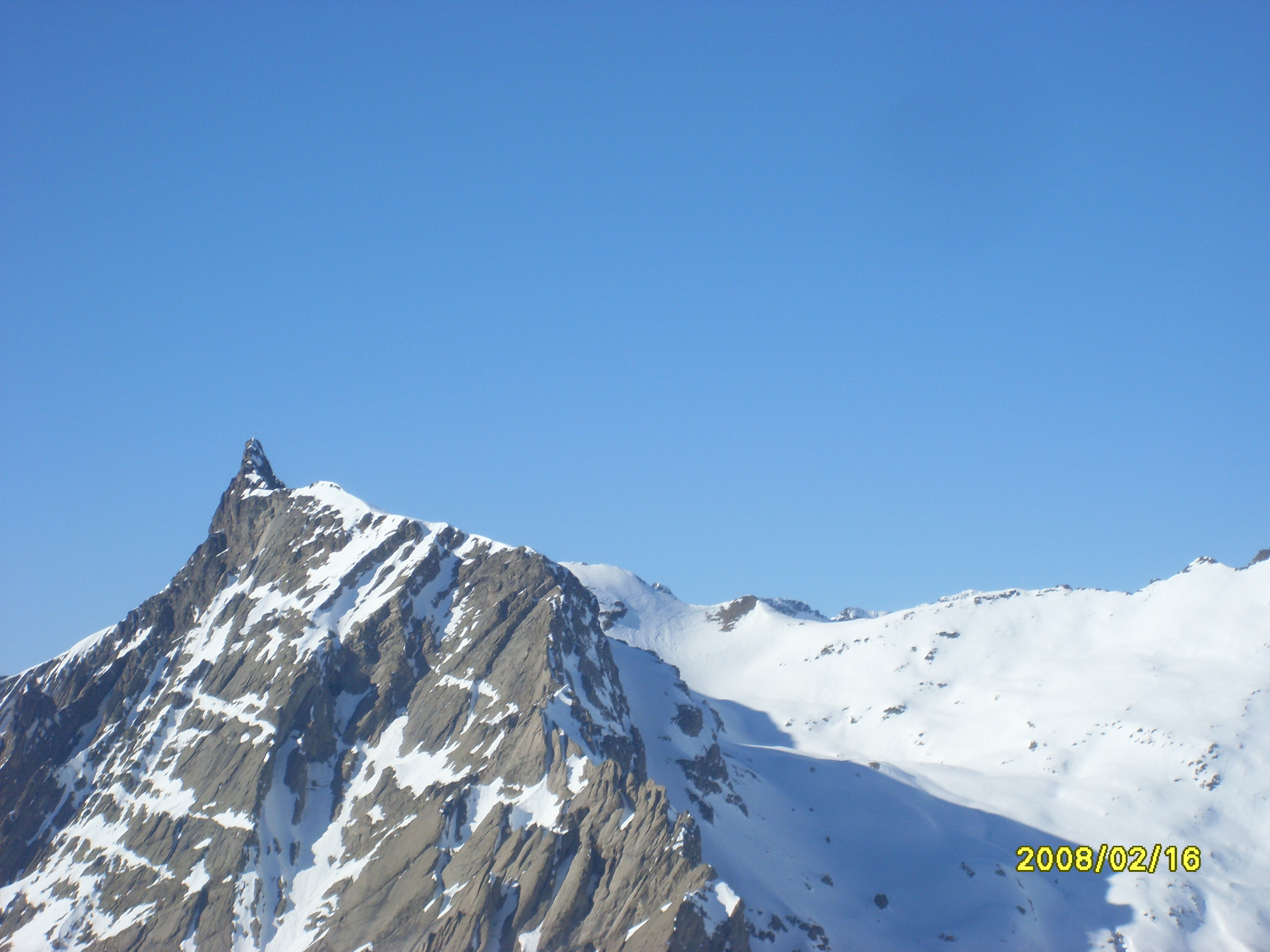
Aiguille de Cédera 
 Champoléon
Administration Country France Region Provence-Alpes-Côte d'Azur Department Hautes-Alpes Arrondissement Gap Canton Orcières Intercommunality Haut Champsaur Mayor Pierre-Lucien Escallier
(2008–2014)Statistics Elevation 1,173–3,439 m (3,848–11,283 ft)
(avg. 1,261 m/4,137 ft)Land area1 98.54 km2 (38.05 sq mi) Population2 125 (2008) - Density 1 /km2 (2.6 /sq mi) INSEE/Postal code 05032/ 05260 1 French Land Register data, which excludes lakes, ponds, glaciers > 1 km² (0.386 sq mi or 247 acres) and river estuaries. 2 Population without double counting: residents of multiple communes (e.g., students and military personnel) only counted once. Coordinates: 44°43′17″N 6°15′42″E / 44.7213888889°N 6.26166666667°E
Champoléon is a commune in the Hautes-Alpes department in southeastern France.
Population
Historical population of Champoléon 1962 1968 1975 1982 1990 1999 2008 77 135 110 116 102 113 125 See also
References
Categories:- Communes of Hautes-Alpes
- Hautes-Alpes geography stubs

Wikimedia Foundation. 2010.