- Mary Kathleen, Queensland
-
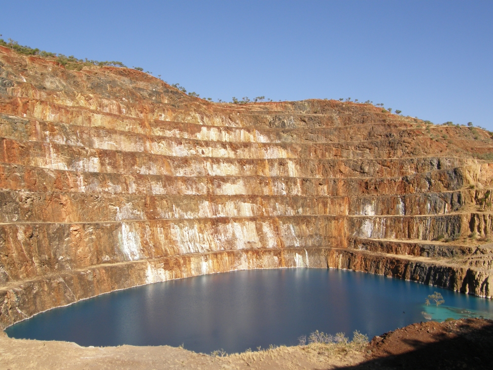
 The abandoned open pit of Mary Kathleen mine, 2009
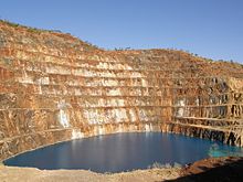
Mary Kathleen was a mining settlement in the northwestern part of Queensland, Australia. It is located in the Selwyn Range between Mount Isa and Cloncurry.
Mary Kathleen was first settled during the 1860s.
Contents
Uranium mine
In 1954, a significant uranium deposit was discovered at the site.[citation needed] Mary Kathleen Uranium Ltd. built a mine, with 4,500 tonnes of uranium oxide being extracted between 1958 and 1963. The mine then lay idle until 1974, when re-opening started. The second phase of production began in 1976. The mine was finally closed down in 1982 after a further production of 4,802 tonnes of uranium oxide. A total of 7 million tonnes of ore were extracted from the mine.[citation needed] Processing occurred on-site.
Mary Kathleen's uranium deposits originated from contact metasomatic processes.[1] This type of occurrence is uncommon, with Mary Kathleen being the only commercial example. The uraninite here was conglomerated with garnet.[1]
Closure
The town was emptied out during 1983.[citation needed] The site, now only roads and concrete pads, can be accessed, as an overnight camp, from the Barkly Highway at -20.780837,139.9734.[2] The land has since been rehabilitated and is now suitable for grazing.[3]
See also
- List of ghost towns
- Uranium mining in Australia
References
- ^ a b Bowie, Stanley (20 July 1978). "Uranium and its future". New Scientist 79 (1112): 198-200.
- ^ "Mary Kathleen". The Sydney Morning Herald (Fairfax Media). February 8, 2004. http://www.smh.com.au/news/Queensland/Mary-Kathleen/2005/02/17/1108500203550.html. Retrieved 2007-07-06.
- ^ "Environmental Aspects of Uranium Mining". World Nuclear Association. September 2009. http://world-nuclear.org/info/inf25.html. Retrieved 2007-07-06.
External links
Coordinates: 20°47′S 139°59′E / 20.783°S 139.983°E

This Australian ghost town-related article is a stub. You can help Wikipedia by expanding it.