- Barkly Highway
Infobox Australian Road
road_name = Barkly Highway
route_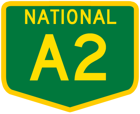
route_
route_
photo =
caption =
length = 755
direction = West-East
start = "'
finish =
est =
through = Camooweal, Qld, Mt. Isa, Qld
route = "Tennant Creek - NT/Qld Border:"
exits = "'
Diamantina Developmental Road
Burke Developmental RoadThe Barkly Highway is a national highway of both
Queensland and theNorthern Territory . It runs westward from Cloncurry and the junctions of the Flinders and Landsborough highways to the junction with theStuart Highway north of Tennant Creek. The entire highway is part of the National Highway system: it is assigned National Route 66; the Queensland portion was recently redesignated as National Route A2.Between Mount Isa and Camooweal, the highway was in a poor state with narrow and pot-holed single lane surfaces. Over $30 million (Australian) has been invested to upgrade the Barkly Highway to highway standard. The Northern Territory side of the highway is in excellent condition.
It is the main transport route between Queensland and the Northern Territory and one can see many
road train s along it.List of towns along the Barkly Highway
*Cloncurry
*Mount Isa
*Camoowealee also
*
Highways in Australia
*List of highways in Northern Territory
*List of highways in Queensland

Wikimedia Foundation. 2010.