- Ravenden, Arkansas
Infobox Settlement
official_name = Ravenden, Arkansas
settlement_type =Town
imagesize =
image_caption =
image_
imagesize =
image_caption =
image_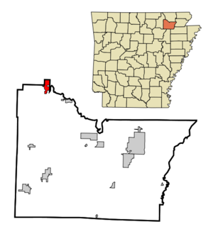
mapsize = 250px
map_caption = Location in Lawrence County and the state ofArkansas
mapsize1 =
map_caption1 =
subdivision_type = Country
subdivision_type1 = State
subdivision_type2 = County
subdivision_name =United States
subdivision_name1 =Arkansas
subdivision_name2 = Lawrence
government_type =
leader_title =
leader_name =
established_date =
area_magnitude =
area_total_km2 = 5.4
area_total_sq_mi = 2.1
area_land_km2 = 5.4
area_land_sq_mi = 2.1
area_water_km2 = 0
area_water_sq_mi = 0
elevation_ft = 338
elevation_m = 103
population_as_of = 2000
population_footnotes =
population_total = 511
population_metro =
population_density_km2 = 94.6
population_density_sq_mi = 243.3
timezone = Central (CST)
utc_offset = -6
latd = 36 |latm = 14 |lats = 2 |latNS = N
longd = 91 |longm = 15 |longs = 7 |longEW = W
timezone_DST = CDT
utc_offset_DST = -5
postal_code_type =ZIP code
postal_code = 72459
area_code = 870
blank_name = FIPS code
blank_info = 05-58250
blank1_name = GNIS feature ID
blank1_info = 0058465
footnotes =
website =Ravenden is a town in Lawrence County,
Arkansas ,United States . The population was 511 at the 2000 census.Spring River flows near Ravenden. U.S. Highway 63 runs through the town, as does the Burlington-Northern Railroad. The community building, still in use, was dedicated in 1960. Ray Ellis was mayor at that time.
Geography
Ravenden is located at coor dms|36|14|2|N|91|15|7|W|city (36.233972, -91.251911)GR|1.
According to the
United States Census Bureau , the town has a total area of 2.1square mile s (5.4km² ), of which, 2.1 square miles (5.4 km²) of it is land and 0.48% is water.Demographics
As of the
census GR|2 of 2000, there were 511 people, 209 households, and 145 families residing in the town. Thepopulation density was 246.7 people per square mile (95.3/km²). There were 254 housing units at an average density of 122.6/sq mi (47.4/km²). The racial makeup of the town was 97.26% White, 1.76% Native American, 0.59% from other races, and 0.39% from two or more races. 1.37% of the population were Hispanic or Latino of any race.There were 209 households out of which 34.9% had children under the age of 18 living with them, 53.6% were married couples living together, 12.9% had a female householder with no husband present, and 30.6% were non-families. 26.8% of all households were made up of individuals and 9.6% had someone living alone who was 65 years of age or older. The average household size was 2.44 and the average family size was 2.97.
In the town the population was spread out with 27.6% under the age of 18, 8.8% from 18 to 24, 24.9% from 25 to 44, 23.1% from 45 to 64, and 15.7% who were 65 years of age or older. The median age was 37 years. For every 100 females there were 97.3 males. For every 100 females age 18 and over, there were 93.7 males.
The median income for a household in the town was $25,625, and the median income for a family was $29,896. Males had a median income of $23,281 versus $14,444 for females. The
per capita income for the town was $10,723. About 19.5% of families and 28.4% of the population were below thepoverty line , including 48.6% of those under age 18 and 15.1% of those age 65 or over.References
External links
* [http://www.ozarkacresliving.com/weather/ozark_weather.html Ozark Acres Weather]
Wikimedia Foundation. 2010.