- Hobart Bay, Alaska
Infobox Settlement
official_name = Hobart Bay, Alaska
settlement_type = CDP
nickname =
motto =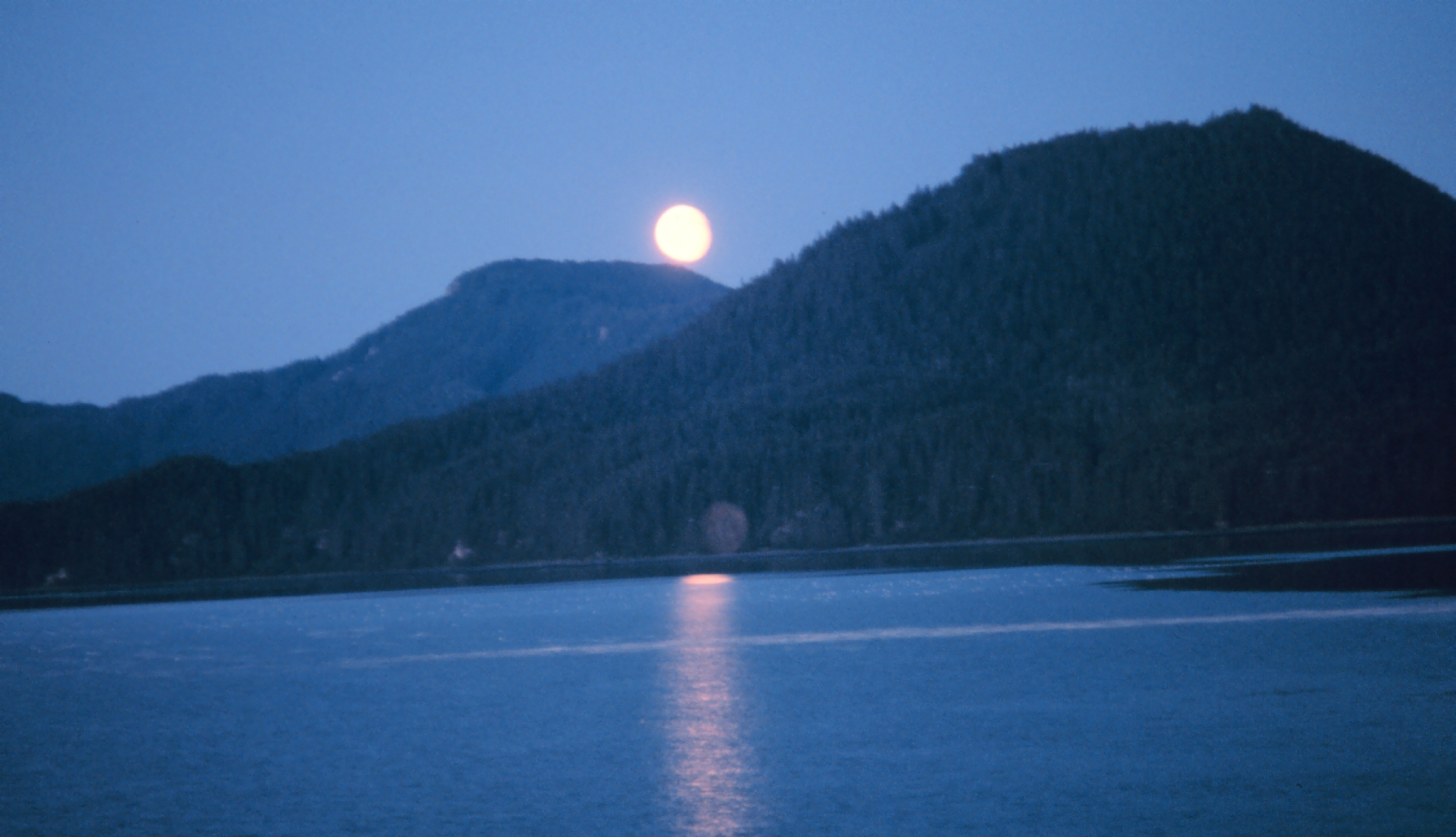
image_caption = Moonrise on Hobart Bay
imagesize = 250px
image_
map_caption = Location of Hobart Bay, Alaska
mapsize = 250x200px
mapsize1 =
map_caption1 =subdivision_type = Country
subdivision_name =United States
subdivision_type1 = State
subdivision_name1 =Alaska
subdivision_type2 = Census Area
subdivision_name2 = Hoonah-Angoon
government_footnotes =
government_type =
leader_title =
leader_name =
leader_title1 =
leader_name1 =
established_title =
established_date =area_magnitude =
area_footnotes =
area_total_km2 = 336.2
area_land_km2 = 304.1
area_water_km2 = 32.1
area_total_sq_mi = 129.8
area_land_sq_mi = 117.4
area_water_sq_mi = 12.4population_as_of = 2000
population_footnotes =
population_total = 3
population_density_km2 = 0
population_density_sq_mi = 0timezone = Alaska (AKST)
utc_offset = -9
timezone_DST = AKDT
utc_offset_DST = -8
elevation_footnotes =
elevation_m = 361
elevation_ft = 1184
latd = 57 |latm = 27 |lats = 11 |latNS = N
longd = 133 |longm = 23 |longs = 36 |longEW = Wpostal_code_type =
postal_code =
area_code = 907
blank_name = FIPS code
blank_info = 02-32550
blank1_name = GNIS feature ID
blank1_info = 1866951
website =
footnotes =Hobart Bay is a
census-designated place located inHoonah-Angoon Census Area, Alaska . As of the 2000 census, the population of the CDP is three. According to theUnited States Census Bureau , it is one of only nine places in theUnited States with a population of three people. The others areEast Blythe, California ,North Red River Township, Minnesota ,Rulien Township, Minnesota ,Hush Lake, Minnesota ,Pfeiffer Lake, Minnesota ,Livermore, New Hampshire ,Hillsview, South Dakota , andPoint of Rocks, Wyoming .The bay was named in 1889 by Lt. Commander Mansfield of the U. S. Navy. The site was first settled as a logging camp. The population has declined in recent years and would it probably not be incorporated as a town with the present population.
Geography
Hobart Bay is located at 57°27'11" North, 133°23'36" West (57.453007, -133.393308)GR|1.
According to the
United States Census Bureau , the CDP has a total area of 129.8square mile s (336.2km² ), of which, 117.4 square miles (304.1 km²) of it is land and 12.4 square miles (32.1 km²) of it is water. The total area is 9.54% water.Demographics
As of the
census GR|2 of 2000, there are three people, two households, and one family residing in the CDP. Thepopulation density was 0/km². There were seventeen housing units at an average density of 0.1/sq mi (0.1/km²). The racial makeup of the CDP was two White and one Native American.There were two households with no children under the age of eighteen living with them; one was a married couple living together, and one was a male individual.
In the CDP the population was spread out with two from twenty five to forty four and one from forty five to sixty four. The median age was forty four years. There was one female and two males.
The median income for a household in the CDP was $68,750, and the median income for a family was $68,750. The
per capita income for the CDP was $34,900.References
External links
Wikimedia Foundation. 2010.