- Chōgo Station
-
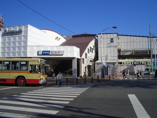
Chōgo Station長後駅
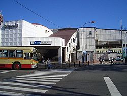
Chōgo Station west exit Location Prefecture Kanagawa
(See other stations in Kanagawa)City Fujisawa Neighborhood etc. Shimotsuchidana472 Postal Code 252 - 0807 (in Japanese) 神奈川県藤沢市下土棚472 History Year opened 1929 Former name Shin- Chōgo Station Present name since 1958 Rail services Operator(s) Odakyu Electric Railway Line(s) Odakyu Enoshima Line Statistics 36,383 passengers/day 2008  There is a bus terminal at this station
Chōgo Station (長後駅 Chōgo-eki) is a train station on the Odakyu Enoshima Line in the city of Fujisawa, Kanagawa, Japan. It is 46.3 rail kilometers from the terminus of the Odakyu Railway at Shinjuku Station in Tokyo.
Contents
History
Chōgo Station was opened on April 1, 1929 as the Shin-Chōgo Station (新長後駅 Shin-Chōgo-eki). The station received its present name on April 1, 1958.
Lines
Station layout
Chōgo Station has two island platforms serving four tracks, which are connected to the station building by an overpass.
Platforms
1 ■Odakyu Enoshima Line For Fujisawa and Katase-Enoshima 2 ■Odakyu Enoshima Line For Sagami-Ōno and Shinjuku Adjacent stations
« Service » Odakyu Enoshima Line Yamato Express (急行) Shōnandai Kōza-Shibuya Local (各駅停車) Shōnandai External links
- official home page.(Japanese)
(to/from Shinjuku, Machida) Sagami-Ōno - (Sagami-Ōno Junction) - Higashi-Rinkan - Chūō-Rinkan - Minami-Rinkan - Tsuruma - Yamato - Sakuragaoka - Kōza-Shibuya - Chōgo - Shōnandai - Mutsuai-Nichidaimae - Zengyō - Fujisawa-Hommachi - Fujisawa - Hon-Kugenuma - Kugenuma-Kaigan - Katase-Enoshima
Coordinates: 35°24′45.12″N 139°27′55.73″E / 35.4125333°N 139.4654806°ECategories:- Railway stations in Kanagawa Prefecture
- Railway stations opened in 1929
- Stations of Odakyu Electric Railway
- Odakyū Enoshima Line
- Fujisawa, Kanagawa
- Kanagawa Prefecture railway station stubs
Wikimedia Foundation. 2010.