- Muránska planina National Park
-
Muránska planina National Park
Národný park Muránska planinaIUCN Category II (National Park)
Cigánka Mountain (935 m AMSL), north of the village of MuráňLocation Central Slovakia Coordinates 48°47′11″N 20°01′47″E / 48.78639°N 20.02972°ECoordinates: 48°47′11″N 20°01′47″E / 48.78639°N 20.02972°E Area 203.18 km² (78.45 mi²) Established Declared in October 1997 and opened on 27 May 1998 Governing body Správa Národného parku Muránska planina (Muránska Planina National Park Administration) in Revúca Muránska planina National Park (Slovak: Národný park Muránska planina) is one of the youngest national parks in Slovakia. It is situated in Central Slovakia, in the districts of Brezno and Revúca, in the Banská Bystrica Region. It protects the area of Muránska planina (Muráň Plateau), which is geologically part of the Slovenské rudohorie mountain range.
The National Park covers a total area of 203.18 km² (78.45 mi²), and its buffer zone covers 216.98 km² (83.78 mi²). The core of the park consists of the limestone and dolomite plateau with karst formations. The overall length of karst landscape from the settlement of Červená Skala (part of Šumiac) to the town of Tisovec is about 25 km.
There are more than 150 notable caves, which are inaccessible to the public. The highest point is Fabova hoľa at 1,439 m AMSL, however, a higher peak, Stolica at 1,476 m is located in the buffer zone.
Flora in the National Park is notable for its biodiversity and species richness and includes 35 endemic and sub-endemic species, for example, Daphne arbuscula. Forests cover about 90% of the area.
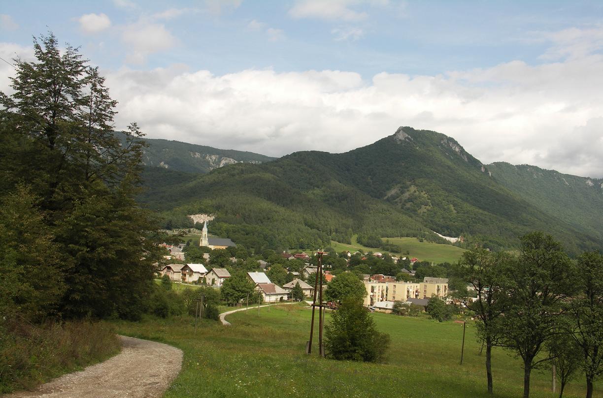
Tourist attractions include 300 km of marked hiking trails and two educational trails. The best access to the park is through the surrounding villages and settlements, for example Muráň and Závadka nad Hronom.
See also
- Protected areas of Slovakia
External links
National parks and protected landscape areas of Slovakia National parks Low Tatras • Malá Fatra • Muránska planina • Pieniny • Poloniny • Slovak Karst • Slovak Paradise • Tatra National Park • Veľká FatraProtected landscape areas Categories:- IUCN Category II
- National parks of Slovakia
- Protected areas established in 1997
- Protected areas of the Western Carpathians
Wikimedia Foundation. 2010.