- Orakei
-
Orakei 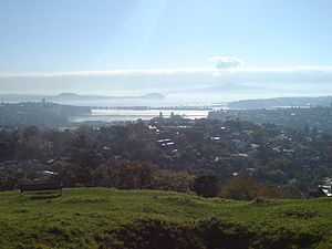
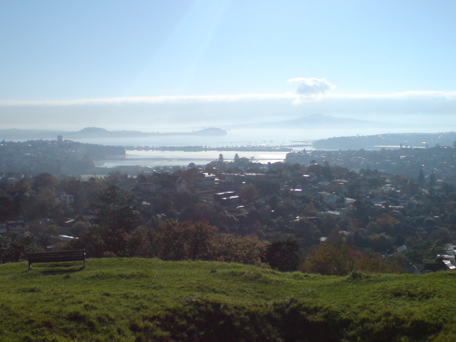
View of Hobson Bay looking northwards with Orakei visible in the far right distance, under Rangitoto Island.Basic information Local authority Auckland City Facilities Train station(s) Orakei Train Station Surrounds North (Hauraki Gulf) Northeast Mission Bay East Mission Bay Southeast Kohimarama, Meadowbank South Remuera Southwest Remuera West Parnell Northwest (Waitemata Harbour) Orakei (Māori: Ōrākei) is a suburb of Auckland city, in the North Island of New Zealand. It is located on a peninsula five kilometres to the east of the city centre, close to the shore of the Waitemata Harbour, which lies to the north, and Hobson Bay and the Orakei Basin, two arms of the Waitemata, which lie to the west and south. To the east are the suburbs of Kohimarama and Mission Bay.
The mouth of the Waitemata is to the immediate north of Orakei, lying between Bastion Point and North Head, the latter of which is in Devonport.
The suburb achieved national attention in 1977 when Māori protestors occupied vacant land at Bastion Point. Land which had formerly belonged to the Ngāti Whātua iwi had been acquired cheaply for public works many decades before, and members of the tribe occupied the land demanding its return. The site was largely returned to the iwi after a long and not entirely bloodless occupation.
Orakei is home to some of Auckland's most expensive real estate. Paritai Drive in Orakei is generally regarded as the most expensive street in Auckland, and most probably New Zealand. House prices on this street start at $3m and range to $12m. The local secondary schools are Auckland Grammar School, Selwyn College, Baradene College of the Sacred Heart and St Peter's College.
Bastion Point is also the location of the Tomb and Memorial Garden (the Savage Memorial) for Michael Joseph Savage, one of New Zealand's most popular Prime Ministers. Michael Joseph Savage (23 March 1872 – 27 March 1940) was the first Labour Prime Minister of New Zealand. This magnificent Art Deco ensemble by Tibor Donner and Anthony Bartlett was officially opened in March 1943 and affords remarkable views of the Waitemata Harbour.
See also
References
- Colonial Architecture In New Zealand. John Stacpoole. A.H & A.W Reed 1976
- Decently And In Order, The Centennial History of the Auckland City Council. G.W.A Bush. Collins 1971.
Categories:
Wikimedia Foundation. 2010.