- Deer Park (LIRR station)
-
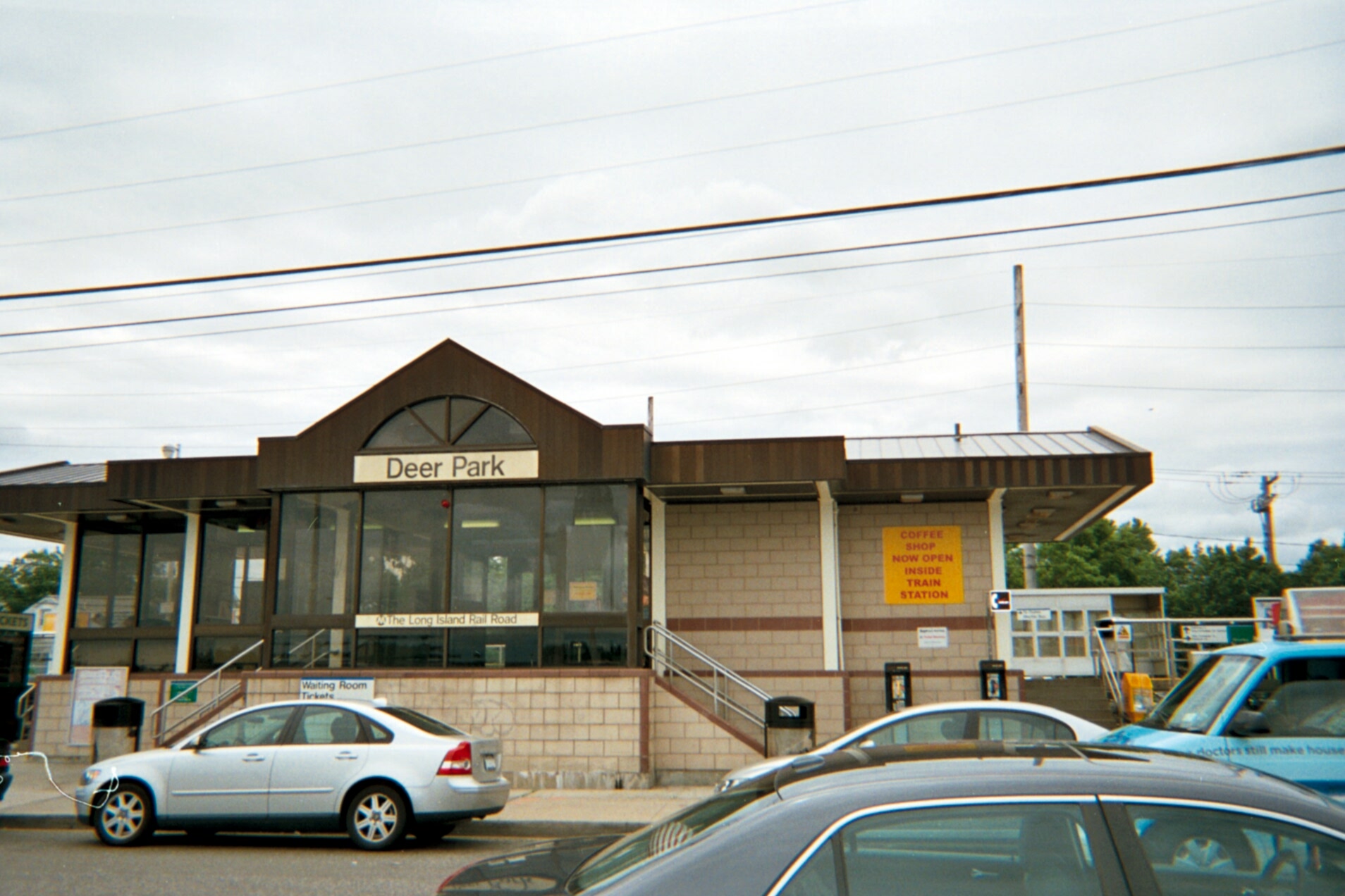
Deer Park 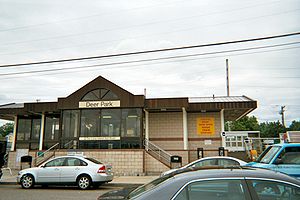
Deer Park Station from the parking lotStation statistics Address Pineaire Drive, Grant (Executive) Avenue, and Long Island Avenue
West Brentwood, New YorkCoordinates 40°46′10″N 73°17′37″W / 40.76948°N 73.293577°WCoordinates: 40°46′10″N 73°17′37″W / 40.76948°N 73.293577°W Lines Connections Suffolk County Transit: S27
Artie's TaxiPlatforms 2 side platforms Tracks 2 Parking Yes; Free Bicycle facilities Yes; Bicycle Rack Other information Opened 1987 Electrified January 18, 1988
750V (DC) third railAccessible 
Owned by MTA Fare zone 9 Traffic Passengers (2006) 5,417[1] Services Preceding station LIRR Following station toward New York terminalsMain Line
(Ronkonkoma Branch)toward GreenportDeer Park is a station along the Main Line (Ronkonkoma Branch) of the Long Island Rail Road. It is officially located at Pineaire Drive, Executive (formerly Grant) Avenue, and Long Island Avenue near Deer Park, New York. The actual location is in West Brentwood, New York.
Contents
History
Deer Park Station was previously located at the bridge over New York State Route 231, until it was moved as part of a major reconstruction project of the line at Ronkonkoma, Central Islip, Brentwood, Deer Park, and Wyandanch. The original station was built in 1842, then rebuilt in 1884, and again 1936 for the bridge over Deer Park Avenue (NY 231 did not exist at the time). The 1987-built station was built close to the former Pine Aire Station near the Pilgrim State Psychiatric Center (see below), served as a replacement for both stations, and was also originally planned also to replace Brentwood Station until public oppostion from Brentwood thwarted that proposal.[2] As a result, some people refer to it as "Pine Aire Station" rather than its given name.[3] In the process of reconstruction, a former one-lane bridge was blocked off.[4]
Platforms and tracks
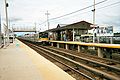
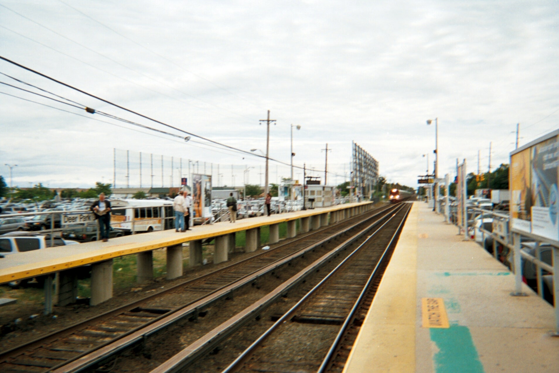
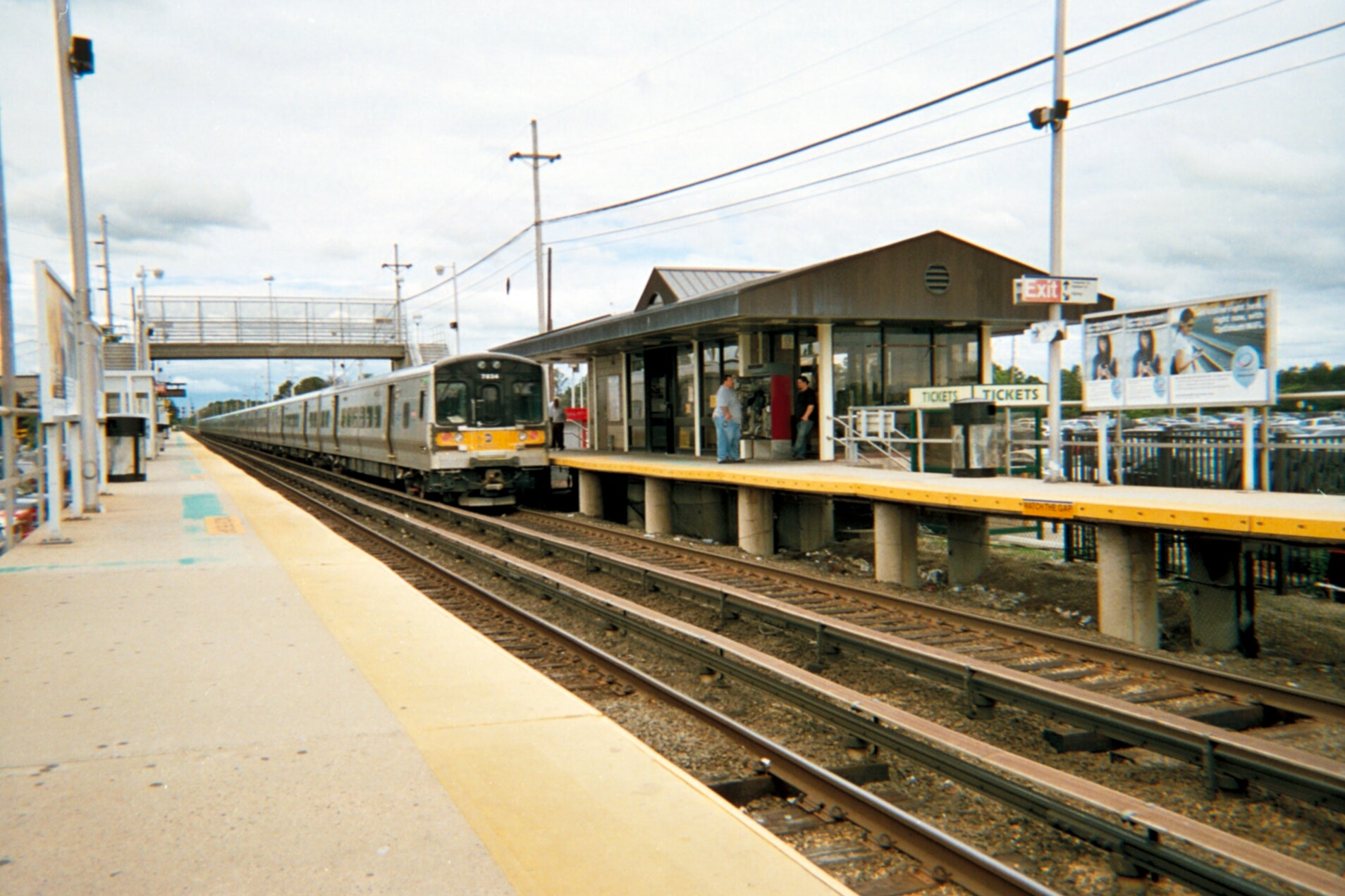
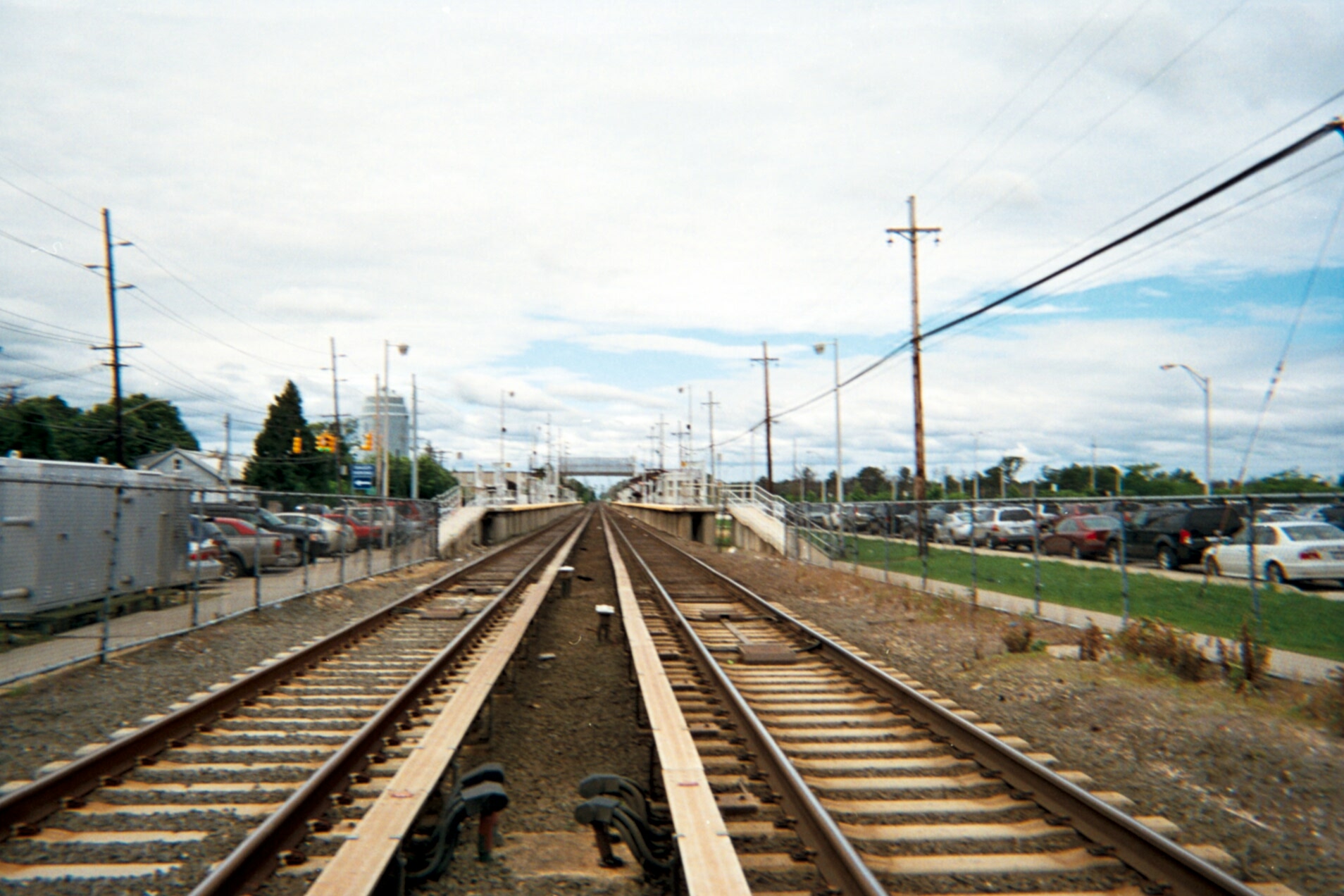
The station has two high-level side platforms, each 12 cars long. The north platform, next to Track 1, is generally used by westbound or New York City-bound trains. The south platform, next to Track 2, is generally used by eastbound trains. The Main Line has two tracks here.
Pineaire Station
Pineaire (or Pine Aire) was a station stop along the Ronkonkoma Branch of the Long Island Rail Road in West Brentwood, New York. It was located east of the Pilgrim State Hospital Spur than the currently combined Deer Park-Pineaire complex. In fact it was located on the east side of Sagtikos State Parkway on the opposite side of the intersection of Pine Aire Drive (formerly Edgewood Road) and Manatuck Boulevard.[5] The station first opened around 1915 near the former Thompson's Station across from a freight spur, and was finally closed around October, 1986, when the two stations were being combined into one.
Gallery
-

NYC-bound train arrives...
-
..and leaves.
-
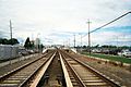
Westbound view from the Executive Drive railroad crossing.
References
- ^ Average weekday, 2006 LIRR Origin and Destination Study
- ^ Station on the Ronkonkoma Line during electrification (Railroad.net Forums; Long Island Rail Road)
- ^ Valenti, John (April 25, 2007). "Pine Aire station fire disrupts LIRR service". Newsday.
- ^ East of Edgewood (Arrt's Arrchives; includes the former Secatogue Road bridge)
- ^ Hagstrom's Map of Western Suffolk County, New York (1941)
External links
Categories:- Long Island Rail Road stations
- Transportation in Suffolk County, New York
-
Wikimedia Foundation. 2010.