- Whitianga
-
Whitianga 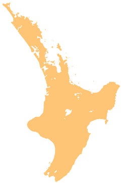
 Whitianga
Coordinates: 36°50′9″S 175°42′1″E / 36.83583°S 175.70028°E Country New Zealand Region Waikato District Thames-Coromandel District Population (2009) - Total 4,100 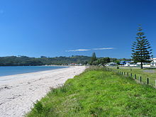 Buffalo Beach, Whitianga
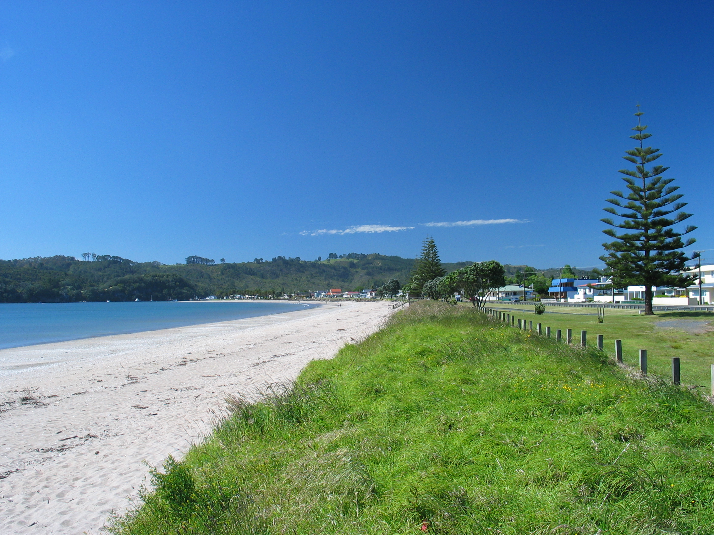
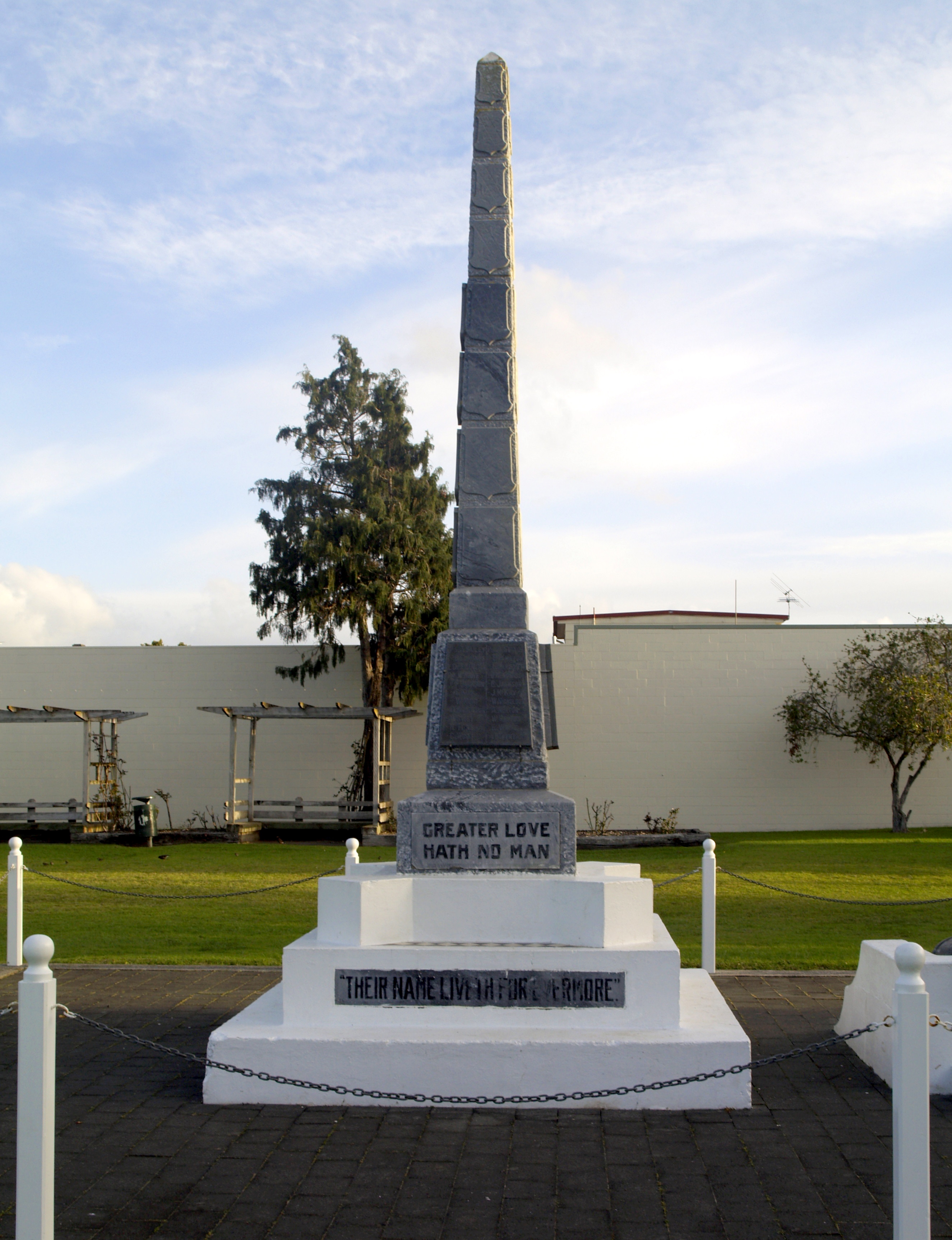
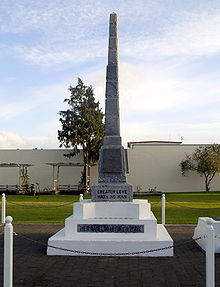 Whitianga War Memorial obelisk
Whitianga is the main settlement of Mercury Bay on the North Island of New Zealand. The population was 3768 in the 2006 Census, an increase of 690 from 2001.[1] The population is now 4100 an increase of 332 since 2006.
Contents
Social
Since 2001 there has been an increased development of new commercial areas, as well as dwellings. Two distinct trends can be seen in the development of accommodation.
- Apartments are being developed in several locations, many overlooking the harbour.
- A canal development has commenced providing a waterways environment, with houses being located along canals allowing marine access from the estuary.
History
Maori History
Whitianga has been continuously occupied for more than a thousand years since Maori explorer Kupe’s tribe settled here after his visit in about 950 AD. Following this visit, many of Kupe's tribe settled here. Te Whitianga a Kupe is the original place name of the town, meaning Kupe's crossing place. There is still a passenger only ferry crossing from Whitianga to Ferry Landing, close to Cooks Beach. The alternative to the two minute ferry crossing is a 45 minute drive.
Whitianga Pa, located on the Ferry landing side of the river is a notable site. According to Ngati Hei history the earliest known chief occupying the rock was Hei Turepe. The Pa is protected on three sides by sheer cliffs. The hill leading up to the Pa on the fourth side is defended by a 22-foot man made ditch which is now part of the track leading down to Back Bay where Pa inhabitants had access to shellfish. On Cook's visit to the site in November 1769, the inhabitants who welcomed him believed the Pa had been disused for a generation since it had been attacked by a Tauranga chief who married the slain chief's wife and settled peacefully into the area. Whitianga rock has several holes cut into the stone that were used as firepits, water stores, and palisade holes. Cook noted burnt palisade stumps as evidence that an earlier attack had evicted the ancient Pa's residents.
Captain Cook's visit - 1769
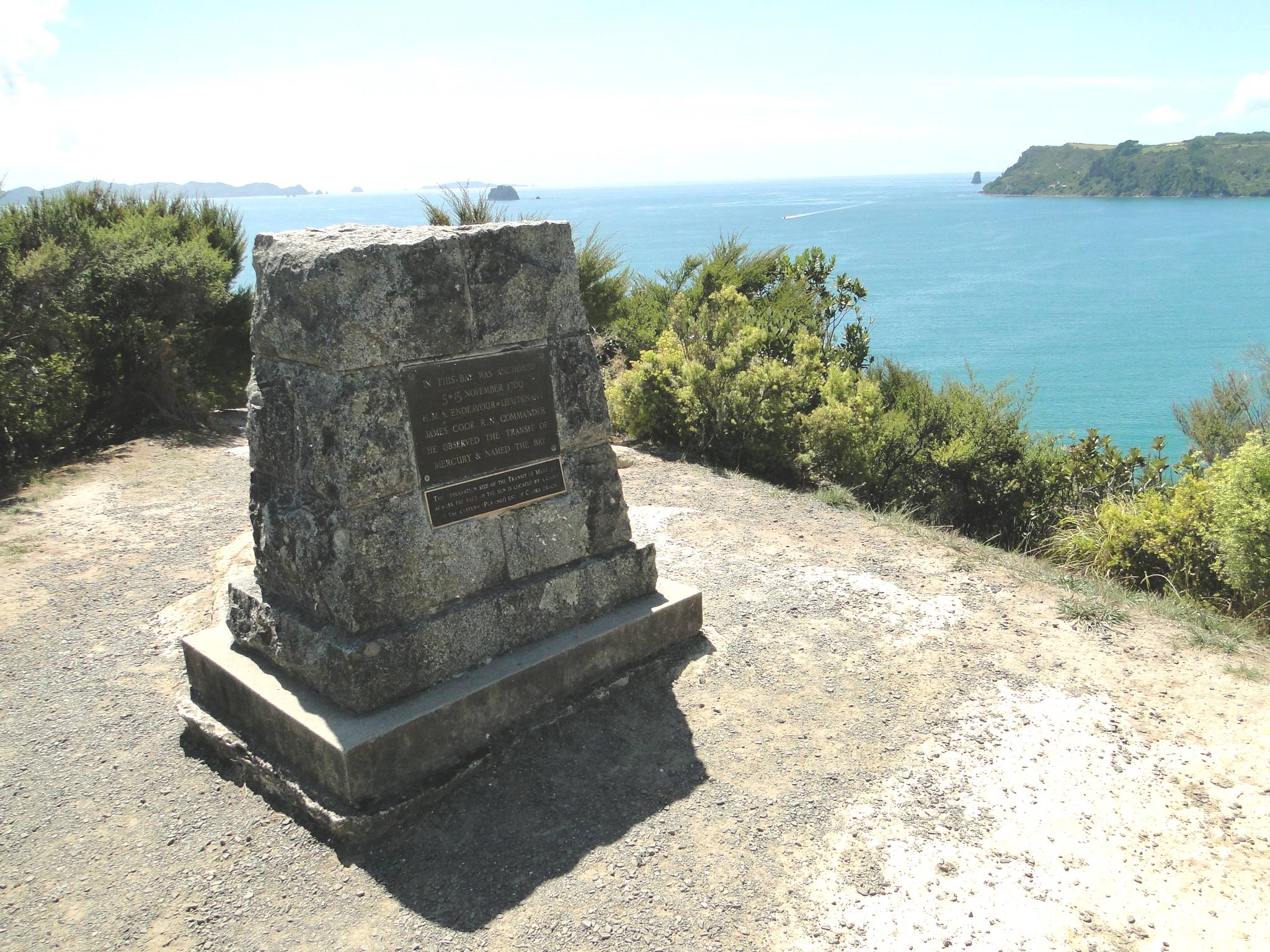
The people of Hei commemorated their leader in a few place names, one being the bay at the head of which he had settled, Te Whanganui A Hei, (the Great Bay of Hei). This large sheltered bay was later renamed by Captain James Cook when he came here in November 1769 to observe the transit of Mercury. Cook was accompanied by Charles Green, the Royal Society expedition astronomer who died on the homeward journey in 1771.
From Cook's journal - "my reasons for putting in here were the hopes of discerning a good harbour and the desire I had of being in some convenient place to observe the Transit of Mercury, which happens on the 9th instant and will be wholly visible here if the day is clear between 5 and 6 o'clock." Cook also named the Whitianga Harbour "River of Mangroves" and this area is still referred to as "The River".
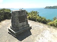
The sighting of the Transit of Mercury is commemorated at Cooks Beach by a cairn of Coromandel granite which tells the story ; "In this bay was anchored 5 Nov 1769, HMS Endeavour, Lieutenant James Cook RN, Commander. He observed the transit of Mercury and named this bay."
European Settlement
The original European settlement was situated on the opposite side of the river from approximately 1836 to 1881.
Geography
Whitianga is located on the Eastern side of the Coromandel Peninsula, 208 km from Auckland, 93 km from Thames, 42 km from Tairua. It is situated on the coast of Mercury Bay, the body of water stretching from the Mercury Islands in the north to approximately Tairua.
Industry
Historically Whitianga was a centre for boat building, kauri milling, flax milling, gold mining and gum digging. For many years, it was a leading timber port, with sailing ships from Norway, Sweden, France, Italy and Great Britain coming to load timber. Overseas vessels of 2000 tons with a draught of 18" and carrying with their decks loads over a million feet of timber worked the harbour entrance. The larger ships were towed into the port from near Centre Island. Over a period of sixty years, it is estimated over 500 million feet of kauri was exported from the Whitianga district.
The first kauri gum was exported in 1844. It reached its peak in 1899 when over 11,000 long tons of gum was exported at an average of $120 per ton.
Today Whitianga serves as a small regional centre for the eastern side of the Coromandel Peninsula / Mercury Bay area and is a focal point for local fishing, farming and tourism industry, such as to the nearby Te Whanganui-A-Hei (Cathedral Cove) marine reserve and associated famous beach / cave. Cathedral Cove was used in the movie The Chronicles of Narnia: Prince Caspian.
Education
Mercury Bay Area School is a coeducational composite (years 1-15) school with a decile rating of 6 and a roll of 759.[2] The first primary school opened in the area in 1872. A District High School opened in 1951 and moved to the present site two years later. In February 1981 it became an area school. It is now New Zealand's largest Area School.[3]
Controversies
In 2010 Mercury Bay Area School made national news when it allegedly covered up an alleged sexual assault on a comatose female student, allegedly destroying films of the event instead of reporting the matter to police or to the girl's parents. Subsequently, the police found no criminality in alleged sex tape incident.[4] The school is currently under Statutory Management after a series of complaints from parents and community.[5]
In 2011 Mercury Bay Area School again made national news when it was revealed that teacher Pat Doube placed adhesive tape over the mouths of two 7 year olds as a punishment for talking. [6] The teacher was not stood down.[7]
Events
An Annual Scallop Festival is held in August to celebrate seafood, particularly scallops.
The Whitianga Speed Festival was first held in 2009.
A New Year's Eve festival and concert, known as Coromandel Gold, was first held in 2009.
Notes
- ^ Quickstats about Whitianga
- ^ "Te Kete Ipurangi - Mercury Bay Area School". Ministry of Education. http://www.tki.org.nz/e/schools/display_school_info.php?school_id=110.
- ^ "School Background". Mercury Bay Area School. http://www.mbas.ac.nz/index.php?mid=1.
- ^ "School in Sex Film Cover Up". New Zealand Herald. http://www.nzherald.co.nz/nz/news/article.cfm?c_id=1&objectid=10692170.
- ^ "Police looking into alleged sex assault at school". New Zealan Herald. http://www.nzherald.co.nz/nz/news/article.cfm?c_id=1&objectid=10692414.
- ^ "Apalled as Kids Mouths Taped Shut". New Zealand Herald. http://www.nzherald.co.nz/education/news/article.cfm?c_id=35&objectid=10747938.
- ^ "Mouth Tape Case". New Zealand Herald. http://www.nzherald.co.nz/nz/news/article.cfm?c_id=1&objectid=10748474.
External links
Categories:- Populated places in New Zealand
- Thames-Coromandel District

Wikimedia Foundation. 2010.