Nebo, Queensland

Nebo, Queensland
Nebo
Queensland
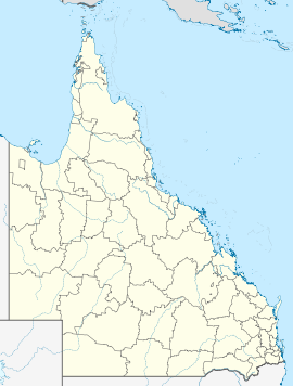
Nebo is located in Queensland
{{{alt}}}
Nebo
Population: 282[1]
Postcode: 4742
Location:
LGA: Isaac Regional Council
State District: Mirani
Federal Division: Capricornia

Nebo is a small town in Queensland, Australia, located 100 km south-west of the city of Mackay on the Peak Downs Highway. At the 2006 census, Nebo had a population of 282.[1]

Pastoralists settled in the Nebo region as early as the 1860s. The district was named by explorer William Landsborough, after the Babylonian god Nabu (Hebrew: Nebo). [1]

The local economy has traditionally relied on agriculture. Coal-mining also plays a significant role in the local economy, with eleven coal mines located in the Nebo district.

See also

References

Coordinates: 21°41′S 148°41′E / 21.683°S 148.683°E / -21.683; 148.683


Wikimedia Foundation. 2010.

Игры ⚽ Поможем решить контрольную работу

Look at other dictionaries:

  • Mount Nebo (Queensland) — Mount Nebo Queensland Mount Nebo, Queensland Population …   Wikipedia

  • Nebo — may refer to: Nebo (god), a Babylonian god Nabau, a Biblical town Nebo: In ancient times Nebo, or Nabu was the Chaldean deity of the Babylonians and Assyrians. King Nebuchadnezzar s name means May Nebo protect my boundary. ([1]) Places See also… …   Wikipedia

  • Shire of Nebo — Queensland Location within Queensland Population: 2,520 (20 …   Wikipedia

  • Mount Nebo — originally referred to: Mount Nebo (Jordan), a mountain in the present day Western Jordan and the mountain where, according to the Bible, the prophet Moses died Other uses are derived from the Biblical one, including: Australia Mount Nebo… …   Wikipedia

  • Comté de Nebo — 21°41′18.25″S 148°41′26.24″E / 21.6884028, 148.6906222 …   Wikipédia en Français

  • Mount Britton, Queensland — Mount Britton Queensland …   Wikipedia

  • Mount Pleasant (Queensland) — Mount Pleasant Queensland Population: 360 (2006 census) Postcode: 4521 LGA: Moreton Bay Region …   Wikipedia

  • Mount Glorious (Queensland) — Infobox Australian Place | type = suburb name = Mount Glorious state = qld caption = lga = Moreton Bay Regional Council postcode = 4520 pop = 297 (2006 census) est = elevation= maxtemp = mintemp = rainfall = stategov = Electoral district of Ferny …   Wikipedia

  • Samford, Queensland — Infobox Australian Place | type = town name = Samford state = qld caption = Centre of Samford Village: View of John Scott Park with Slab Hut Gallery on left, rotunda/stage in centre, children’s playground on far right. Note stage is located on… …   Wikipedia

  • Mackay, Queensland — Infobox Australian Place type = city name = Mackay state = qld imagesize = 270 caption = Location of Mackay in Queensland (red) pop = 92,183 pop footnotes = [Census 2006 AUS | id = 3054 | name = Mackay (QLD) (Statistical District)|quick =… …   Wikipedia

Share the article and excerpts

Direct link
Do a right-click on the link above
and select “Copy Link”