- The Devil's Point
-
The Devil's Point Bod an Deamhain 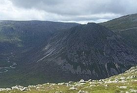
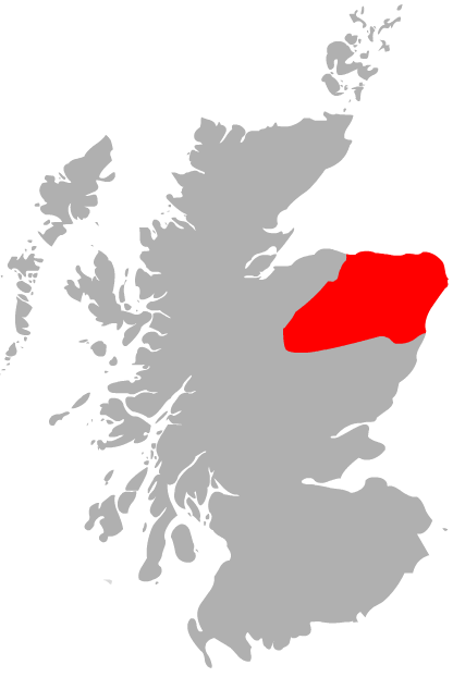
Elevation 1,004 m (3,294 ft) Prominence c. 89 m Parent peak Cairn Toul Listing Munro Translation Penis of the demon (Scottish Gaelic) Pronunciation Scottish Gaelic: [ˈpɔt̪ əɲ ˈtʲɛu.ɛɲ] Location Location Cairngorms, Scotland Topo map OS Landranger 43 OS grid NN976951 The Devil's Point (Scottish Gaelic: Bod an Deamhain) is a mountain in the Cairngorms of Scotland, lying to the west of the Lairig Ghru pass. The name is derived from Gaelic, meaning "Penis of the Demon". The English name is a result of a visit to the area by Queen Victoria. She asked her local ghillie, John Brown, to translate the name; to avoid embarrassment he gave a euphemistic answer.
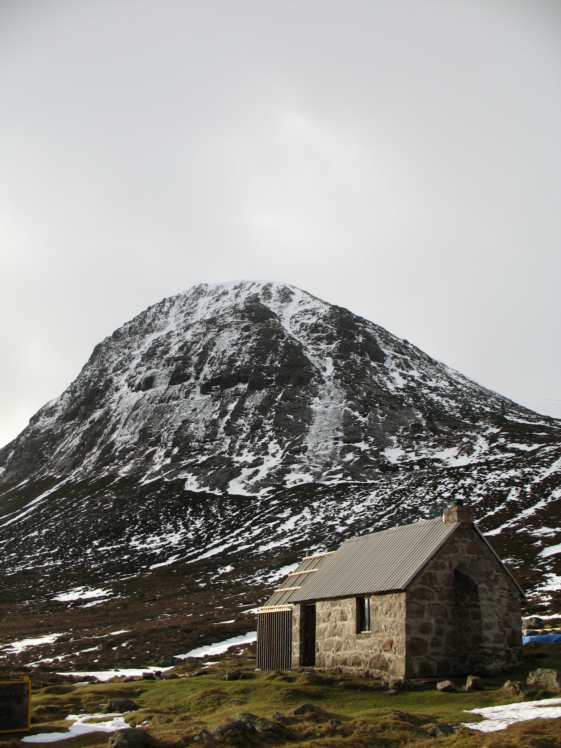
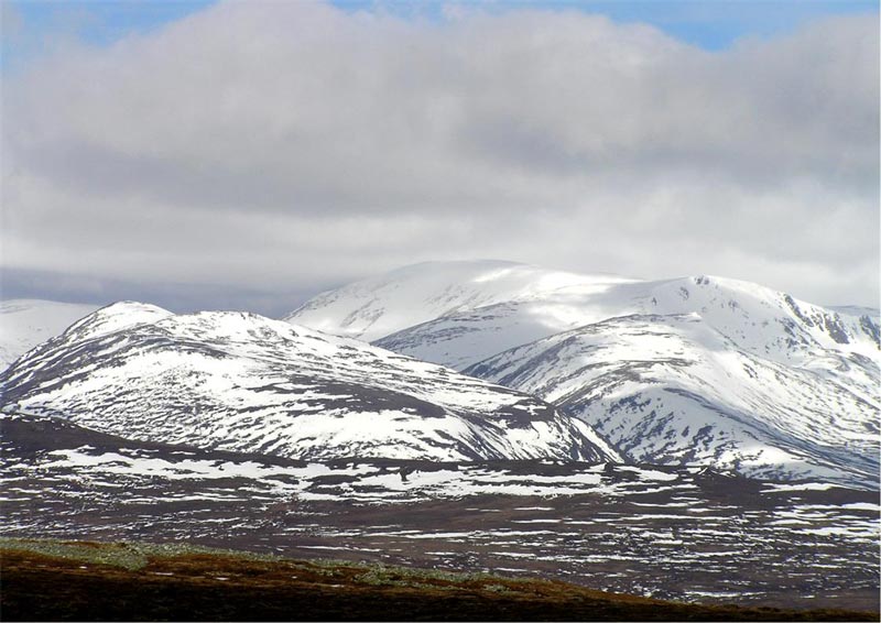
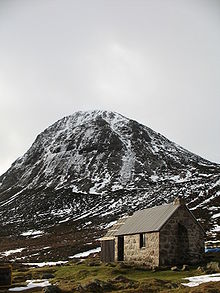 Devil's Point and Corrour Bothy
Although The Devil's Point is strikingly distinct when seen from the south, it is in fact very much a subsidiary peak of Cairn Toul, the summit of which lies some 3 km to the north. The easiest route is to follow the path leading up the Coire Odhar from Corrour Bothy, on the eastern side of the mountain. To reach the bothy requires a long walk in; the most usual route is to follow the Lairig Ghru from Linn of Dee, a distance of some 12 km.
The Devil's Point is often climbed along with Cairn Toul. Sgòr an Lochain Uaine, which lies to the north of Cairn Toul is sometimes called The Angel's Peak, possibly as a counterpoint to The Devil's Point.
See also
- The Devil's Arse, Derbyshire, England
Coordinates: 57°02′08″N 3°41′20″W / 57.03558°N 3.68895°W
 Ben Avon · Beinn a' Bhùird · Beinn Bhreac · Beinn a' Chaorainn · Beinn Bhrotain · Ben Macdui · Beinn Mheadhoin · Braeriach · Bynack More · Cairn Gorm · Cairn Toul · Càrn a' Mhàim · Derry Cairngorm · The Devil's Point · Monadh Mòr · Mullach Clach a' Bhlàir · Sgòr Gaoith · Sgòr an Lochain Uaine
 Categories:
- Munros
- Mountains and hills of the Eastern Highlands
- Mountains and hills of Aberdeenshire
- Places and placenames on Mar Lodge Estate

Wikimedia Foundation. 2010.