- River Rib
Geobox River
name = Rib

map_size =
map_caption = River Rib before it joins theRiver Lea
other_name =
other_name1 =
country = United Kingdom
country1 =
region =
region1 =
city =
city1 =
length = 30.7
length_imperial =
watershed =
watershed_imperial =
discharge_location =
discharge_average =
discharge_average_imperial =
discharge_max_month =
discharge_max =
discharge_max_imperial =
discharge_min_month =
discharge_min =
discharge_min_imperial =
discharge1_location =
discharge1_average =
discharge1_average_imperial =
discharge2_location =
discharge2_average =
discharge2_average_imperial =
discharge3_location =
discharge3_average =
discharge3_average_imperial =
discharge4_location =
discharge4_average =
discharge4_average_imperial =source_name =
source_location = Buckland Nr.Buntingford ,Hertfordshire
source_region =
source_country =
source_country1 =
source_elevation = 130
source_elevation_imperial =
source_lat_d =
source_lat_m =
source_lat_s =
source_lat_NS =
source_long_d =
source_long_m =
source_long_s =
source_long_EW =
mouth_name =
mouth_location =Hertford ,Hertfordshire into River Lea
mouth_country =
mouth_region =
mouth_country1 =
mouth_elevation =
mouth_elevation_imperial =
mouth_lat_d =
mouth_lat_m =
mouth_lat_s =
mouth_lat_NS =
mouth_long_d =
mouth_long_m =
mouth_long_s =
mouth_long_EW =
tributary_left =
tributary_left1 =
tributary_right =
tributary_right1 =
image_size =
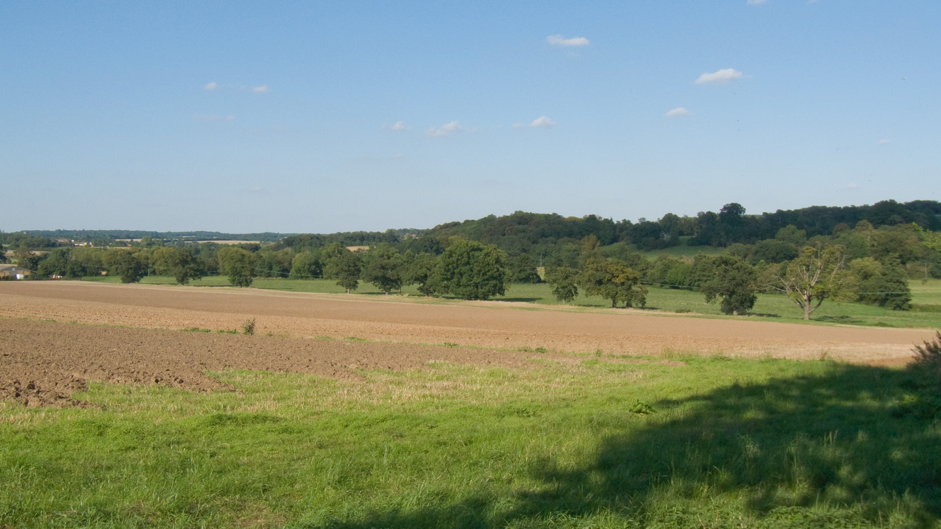
image_caption = Rib Valley nearBengeo The River Rib originates near the
East Hertfordshire village of Buckland and runs parallel with the A10 throughBuntingford ,Westmill ,Braughing ,Puckeridge and Standon until it reaches it's confluence with the River Lea nearHertford .It has frequent floods due to heavy rain in the autumn. It was used as the main water supply in
Buntingford and the surrounding areas before a pump was installed.
Wikimedia Foundation. 2010.