- Jervvasstind
-
Jervvasstind 
Seen from FannaråkiElevation 2,351 m (7,713 ft) Prominence 120 m (394 ft) [1] Listing 9 at List of mountains in Norway by height Location Location of Sogn og Fjordane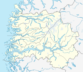
 Jervvasstind
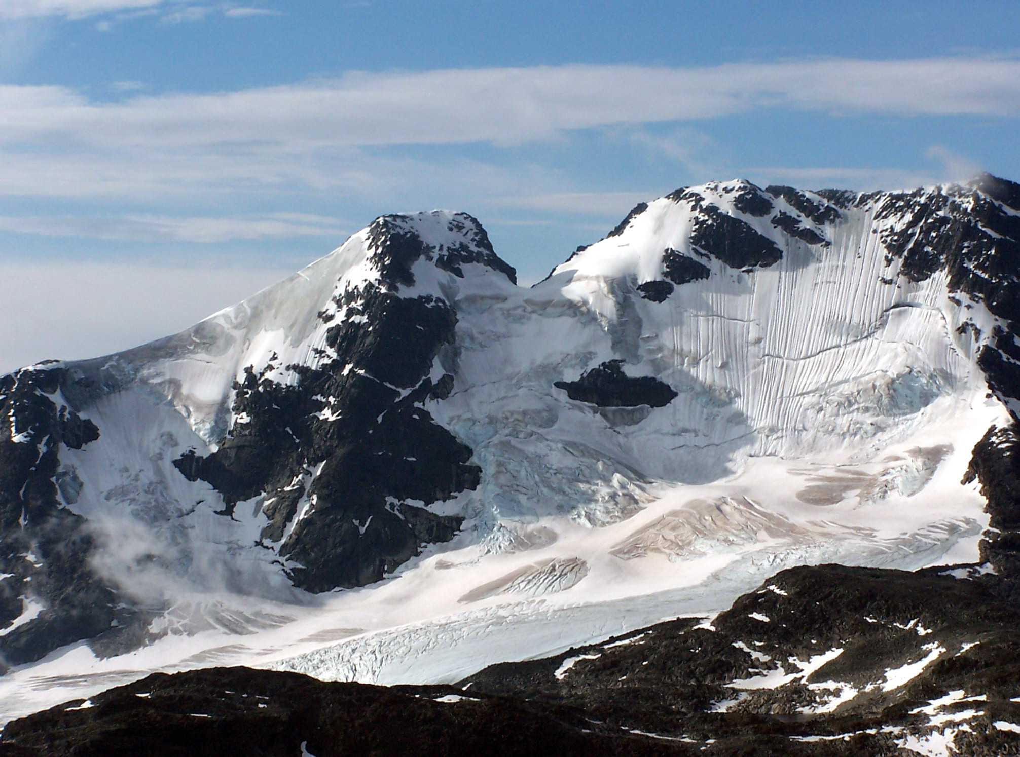
Location Luster, Sogn og Fjordane, Norway Range Hurrungane Coordinates 61°27′53″N 07°54′40″E / 61.46472°N 7.91111°ECoordinates: 61°27′53″N 07°54′40″E / 61.46472°N 7.91111°E Topo map 1517 IV Hurrungane Climbing First ascent 1876: William Cecil Slingsby, Emanuel Mohn, and K. Lykken Easiest route Climbing Jervvasstind (also known as: Gjertvasstind and Østre Styggedalstind) is Norway's ninth highest mountain. The 2,351-metre (7,713 ft) tall mountain lies in the Hurrungane mountains in the eastern part of the municipality of Luster in Sogn og Fjordane county, Norway. It lies on the eastern end of a mountain ridge including the mountains (west to east) Store Skagastølstind-Vetle Skagastølstind-Sentraltind-Store Styggedalstind-Jervvasstind. The village of Skjolden is located 16 kilometres (9.9 mi) to the west.[2]
Name
The first element is the genitive of the name of the lake Jervvatnet and the last element is tind which means "mountain peak". The first element in the lake name is jerv which means "wolverine" and the last element is the finite form of vatn which means "water" or "lake". The old form "Gjertvasstind" is wrong and misunderstood (there is no word "gjert" in the Norwegian language).
References
- ^ "Toppomania - Jervvasstind 2351 moh". http://www.toppomania.info/toppdetaljer.php?toppid=9.
- ^ Store norske leksikon. "Gjertvasstind" (in Norwegian). http://www.snl.no/Gjertvasstind. Retrieved 2010-09-11.
Categories:- Sogn og Fjordane geography stubs
- Mountains of Sogn og Fjordane
- Jotunheimen
- Luster, Norway

Wikimedia Foundation. 2010.