- Norge 1:50000
-
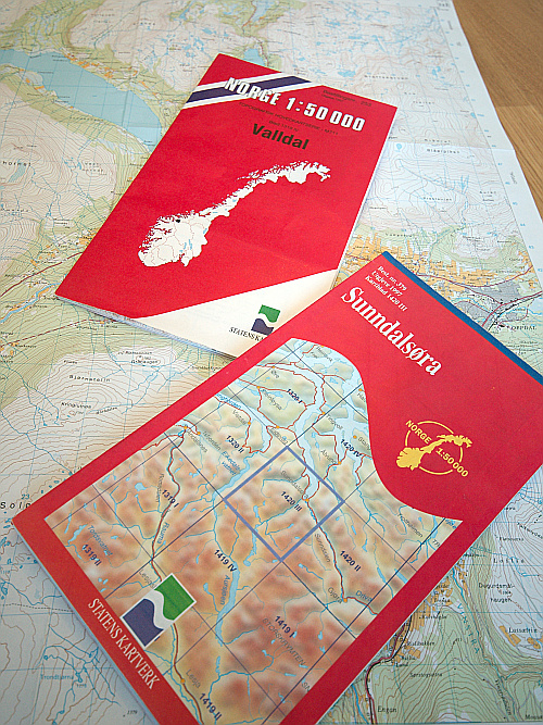
 Example maps
Norge 1:50000 (Norway 1:50000) is the main series[1] of 727 topographical maps in 1:50,000 scale that cover the entire mainland area of Norway and proximate islands. M711 is the military designation.
Statens kartverk (Norwegian Mapping Authority), the governmental cartography office, is responsible for the maps. The series is developed consistently with EUREF89 (European Reference Frame 1989) and WGS84 (World Geodetic System 1984). The maps are in full color, complete with place names and political boundaries. Contour line spacing is 20 meters (66 ft), and the maps are usable for hiking and other navigation.
The maps are subject to ongoing revision, about 60 maps are issued in new release each year.
The maps are available for sale in most bookstores, though it may vary how complete their collection is.
References

This cartography or mapping term article is a stub. You can help Wikipedia by expanding it.