- Cerro del Topo Chico
-
Cerro del Topo Chico 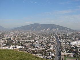
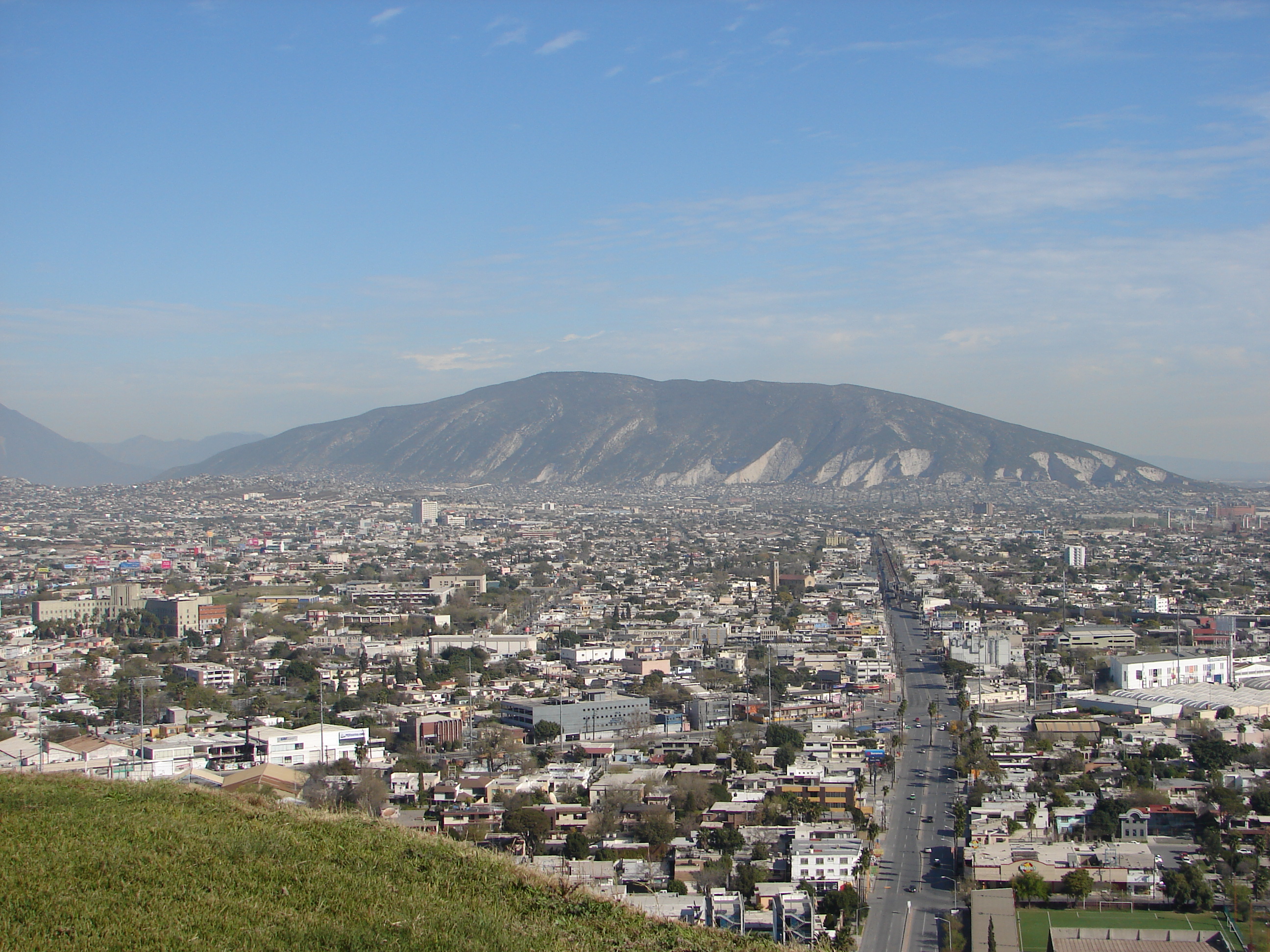
The south face of the Cerro del Topo Chico.Elevation 1,000 m (3,281 ft) Translation Small Mole Hill (Spanish) Location Location Nuevo León, Mexico Climbing Easiest route Hike Cerro del Topo Chico (literal English: Small Mole Hill) is an inactive volcano located in the western portion of the city of San Nicolás de los Garza and within the northern limits of the Monterrey metropolitan area (both cities are in the Mexican state of Nuevo León).[1]
The gray areas depicted on the photos are limestone quarries from which raw material is extracted to manufacture cement.
Some other known mountains or elevations of the zone are: the Cerro de la Silla, Cerro de las Mitras, the Sierra Madre Oriental -the "m" figure visible from various parts of the city-, Cerro del Obispado, Cerro de la Loma Larga and La Huasteca.
References
- ^ "Conoce Monterrey: Monterrey, City of Mountains". Secretaría de Desarrollo Económico, Dirección de Turismo, Municipio de Monterrey. http://turismo.monterrey.gob.mx/de/experience_mty/monterrey_city_of_mountains.html. Retrieved 2011-04-07.
- Geografía (Spanish)
Coordinates: 25°46′8.37″N 100°20′46.40″W / 25.7689917°N 100.346222°WCategories:- Mountains of Mexico
- Landmarks in Monterrey
- Monterrey
- Volcanoes of Mexico
Wikimedia Foundation. 2010.