- Cerro de las Mitras
-
Cerro de las Mitras 
Cerro de las Mitras 2006Elevation 2000 Translation Miter Hill (Spanish) Location Location Nuevo León, Mexico Coordinates 25°42′25″N 100°24′47″W / 25.70694°N 100.41306°W Climbing Easiest route Hike Cerro de las Mitras (English: Miter Hill or Miter Mountain), named for its distinctive miter-shaped structures at the very top viewed from the northern side, is another symbol of the landscape of the state of Nuevo León, Mexico. Located in the cities of Monterrey, Santa Catarina and García.
Being part of the Cumbres National park by the Mexican government, the mountain is often climbed by hikers. The ascent is considered fairly difficult to complete. A panoramic view of the city of Monterrey can be seen from the top.
The south/southeast face of the mountain is source of raw material for the local concrete manufacturers (the craters are noticeable in the photos for their lighter gray colors).
Some other known mountains or elevations of the zone are: the Cerro de la Silla, the Sierra Madre Oriental -with its "m" figure-, the Cerro del Topo Chico, Cerro del Obispado, Cerro de la Loma Larga and La Huasteca.
 Cerro de las Mitras and one of its adjacent neighborhoods (San Jerónimo) as seen from the Cerro del Obispado.
 Cerro de las Mitras seen from Chipinque National Park. The gray areas are craters from where concrete is extracted.
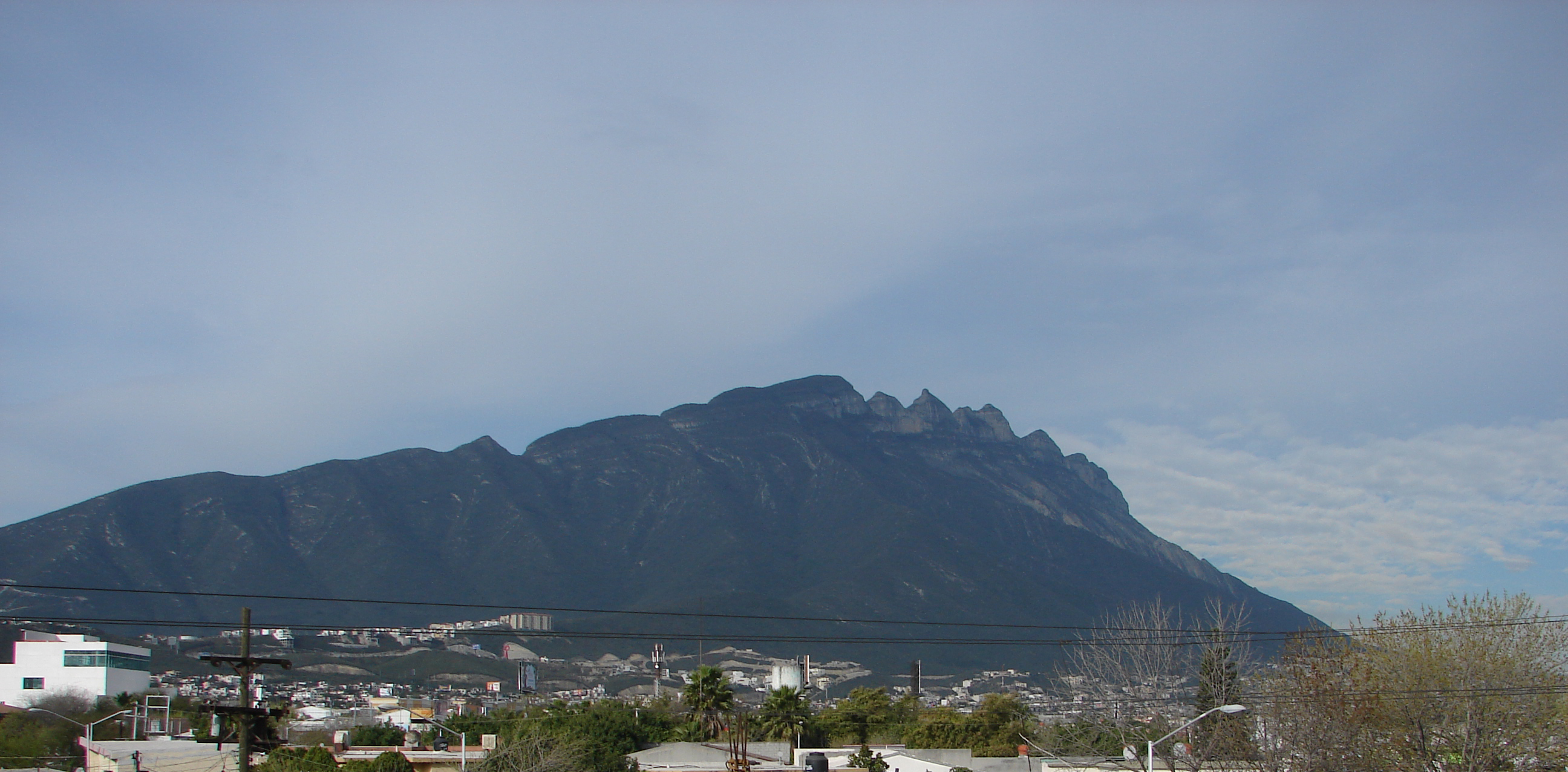
 Cerro de las Mitras's south/southeast side, seen from the Santa Catarina River.Categories:
- Mountains of Mexico
- Landmarks in Monterrey
- Monterrey


Wikimedia Foundation. 2010.