- Chandgad
-
Chandgad — town — Coordinates 15°56′0″N 74°12′0″E / 15.933333°N 74.2°ECoordinates: 15°56′0″N 74°12′0″E / 15.933333°N 74.2°E Country India State Maharashtra District(s) Kolhapur Time zone IST (UTC+05:30) Codes-
• Telephone • +02320 • Vehicle • MH.09
Chandgad (Marathi: चंदगड) is a town and tehsil headquarters in Gadhinglaj subdivision of Kolhapur district in the Indian state of Maharashtra. Jagrut Devastan Sri Ravalnath temple is located here.
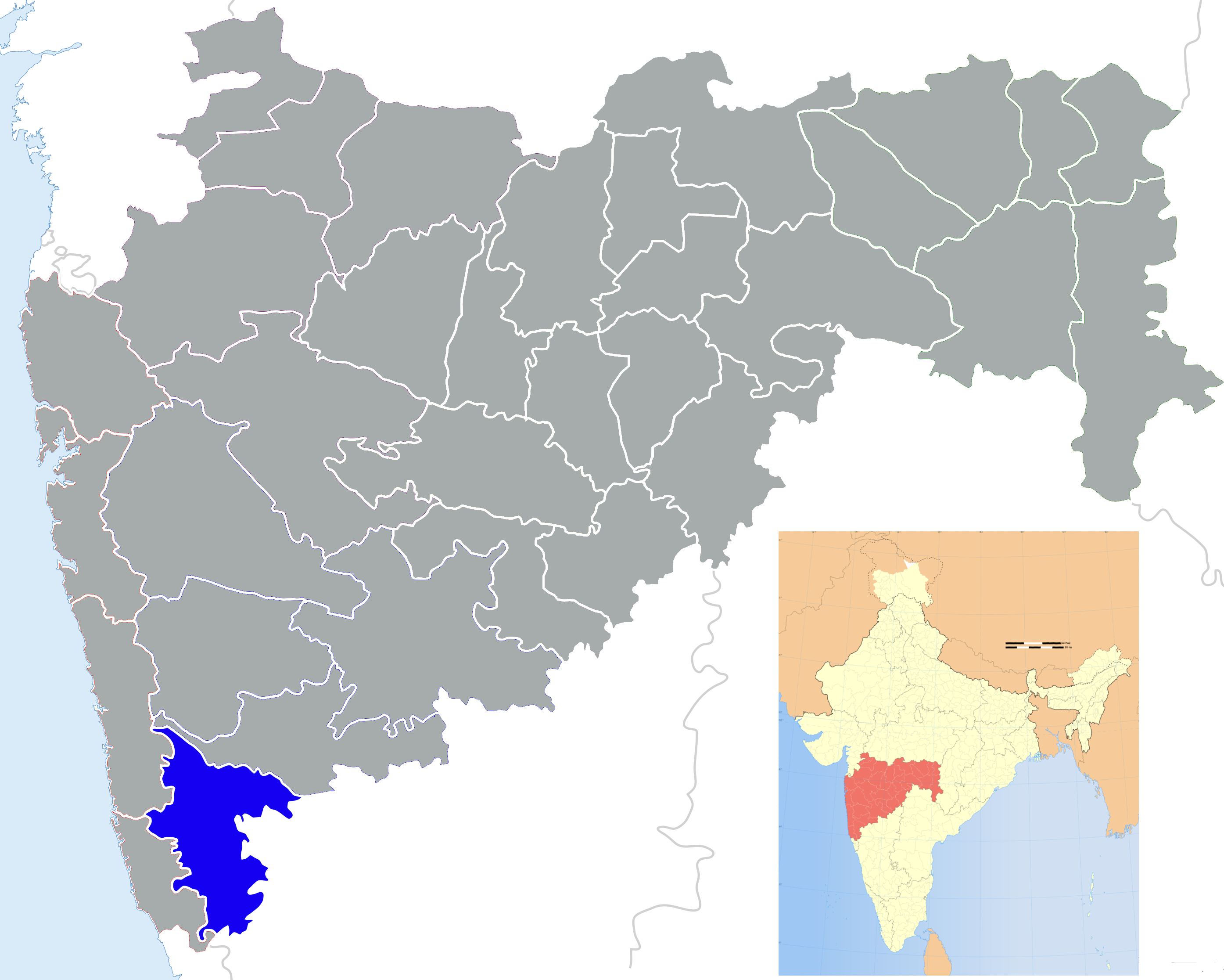
Chandgad is the southernmost taluka for Kolhapur district but for the
.One of the biggest rainfall city in kolhapur district covered with dense lush green forest.Here you can see large number of cashew nut tree plantation.
This is a small town having a population of about 12000. This place is 110 km from Kolhapur but only 36 km from Belgaum City. Chandgad is located on the Belgaum-Vengurle state highway. Amboli hill station is only 32 km from Chandgad. People of Chandgad town and taluka are heavily reliant on Belgaum and Gadhinglaj cities for their day to day needs. Chandgad was formerly a part of Belgaum District. But during reorganization of Maharashtra state the entire taluka was merged into Kolhapur District. Famous places in this taluka are Fort Pargad, Tilari Dam, Swapnavel Point. The famous hill station and which is having maximum rain in Maharashtra named as Amboli is very close to Chandgad. Belgaum is the nearest Railhead for Chandgad, while Vasco-da-Gama is the major Airport 118 km away.
History
There is a substantial amount of Chardo families in this area as they had migrated due to the persecution of the Portuguese in Goa.
Language
Marathi is the main language, while Konkani and Kannada languages are also spoken here. Cashew and Mango from Chandgad are very famous in Maharashtra.
Chandgad is mostly depends on agriculture. This place have have many crops like Paddy, Jawar, Banana, Cane sugar and Cashew. Chandgad having 3 sugar factories, 1 co-operative "Daulat sugar Factory, Halkarni" and 2 private namely "Hemarus sugars, Rajgoli" and "Nalwade Sugars,Tudaye".Other Distances:
- Belgaum: 36 km
- Amboli: 32 km
- Savantwadi: 63 km
- Gadhinglaj: 44 km
- Kolhapur: 110 km
- Kowad : 30 km
- Rajgoli, maharastra via Kowad : 38 km
- Panjim: 78 km via Tilari, Dodamarg
- Goa Border to Chandgad border : 40 km
tilari swapnil point 12 km and
References
Kolhapur district topics History 
Geography Panchganga RiverCities and towns Monuments Culture Kolhapuri chappalEducation Transport Lok Sabha constituencies Hatkanangle · KolhapurVidhan Sabha constituencies Categories:- Cities and towns in Kolhapur district
- Talukas in Maharashtra
- Pune Division geography stubs
-


Wikimedia Foundation. 2010.