- Chino Hills
-
For the city, see Chino Hills, California.
Chino Hills Mountain Range Country United States State California District San Bernardino County Landmark Chino Hills State Park Coordinates 33°56′2.051″N 117°44′16.199″W / 33.93390306°N 117.73783306°W Highest point - elevation 485 m (1,591 ft) Timezone Pacific (UTC-8) - summer (DST) PDT (UTC-7) Topo map USGS Prado Dam 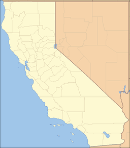
 Location of the Chino Hills in California [1]
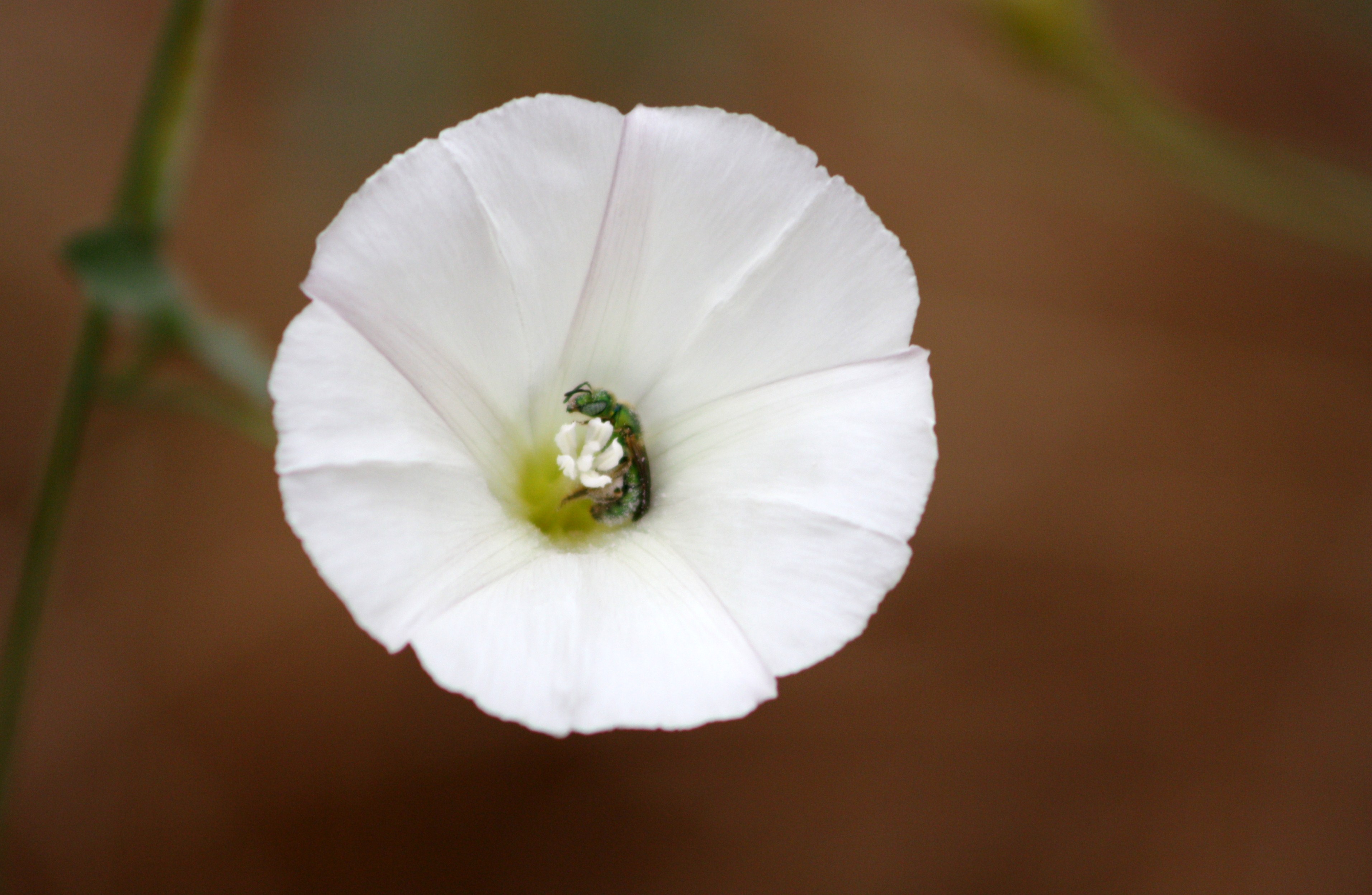
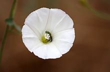 An insect inside a flower in Chino Hills.
The Chino Hills are a mountain range on the border of Orange, Los Angeles, and San Bernardino Counties, California, with a small portion in Riverside County. The Chino Hills State Park preserves open space and habitat in them.
Contents
Geography
They continue the line of the Santa Ana Mountains and Peninsular Ranges northwest from Santa Ana Canyon to Brea Canyon, where the Puente Hills lead both west and northeast. The only paved road crossing is State Route 142 through Carbon Canyon.
Flora
The Chino Hills are in the California chaparral and woodlands ecoregion of the California Floristic Province. The California native plants here are in the chaparral and oak woodland plant communities, with remnant stands of native grasses of California.
Chino Hills earthquake
Main article: 2008 Chino Hills earthquakeOn July 29, 2008, a magnitude 5.5 earthquake was located 3 miles southwest of Chino Hills that was felt throughout Southern California and felt as far east as Las Vegas and as far south as San Diego. It occurred at 11:42 am PDT and caused structural damage to buildings, including to St. Jude Centers for Rehabilitation and Wellness and to the Pomona City Hall. Water mains were ruptured in limited areas of Los Angeles, and superficial damage was done to the facades of businesses and other buildings. Many businesses, including Wal-Mart, reported damage to merchandise which was knocked to the floor.
There were reports of minor injuries but no fatalities.[2]
Fauna
The famed Cliff Swallows of Mission San Juan Capistrano are now nesting in the Chino Hills. Thousands of the small birds, up from 'wintering' in Argentina, have built their mud nests in the eaves of the Vellano Country Club, a community situated around a golf course in the hills.[3]
Adjacent ranges
- Puente Hills
- San Rafael Hills
- San Joaquin Hills
- Santa Ana Mountains
- San Gabriel Mountains
- San Bernardino Mountains
See also
- Pasinogna, California
- Rancho Santa Ana del Chino
- Chino Hills State Park
References
- ^ "Chino Hills". Geographic Names Information System, U.S. Geological Survey. http://geonames.usgs.gov/pls/gnispublic/f?p=gnispq:3:::NO::P3_FID:240565. Retrieved 2009-05-03.
- ^ "Minor damage from 5.4 quake shows California has learned its lessons", Los Angeles Times, July 30, 2008
- ^ http://www.scpr.org/news/2010/06/06/famed-swallows-capistrano-nest-country-club/ -access date: 6/6/2010
Categories:- Peninsular Ranges
- Mountain ranges of Southern California
- Geography of Southern California
- Mountain ranges of Los Angeles County, California
- Mountain ranges of Orange County, California
- Mountain ranges of San Bernardino County, California
- Chino, California
- Chino Hills, California

Wikimedia Foundation. 2010.