- Derai Upazila
-
Derai
দিরাইNickname(s): Talab nagar 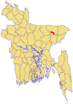
Division Sylhet Division District Sunamganj District Government - MP (Sunamganj-2) Suranjit Sengupta (Awami League) Area - Total 420.93 km2 (162.5 sq mi) Population - Total 185,284 - Density 440/km2 (1,139.6/sq mi) Time zone BST (UTC+6) Postal code 3040-41 Derai (Bengali: দিরাই) is an Upazila of Sunamganj District in the Division of Sylhet, Bangladesh.
Contents
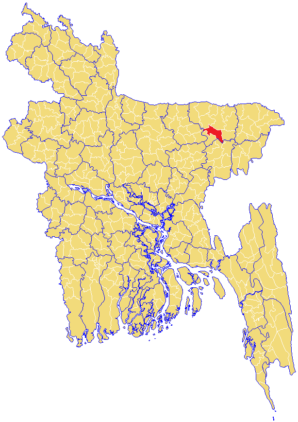
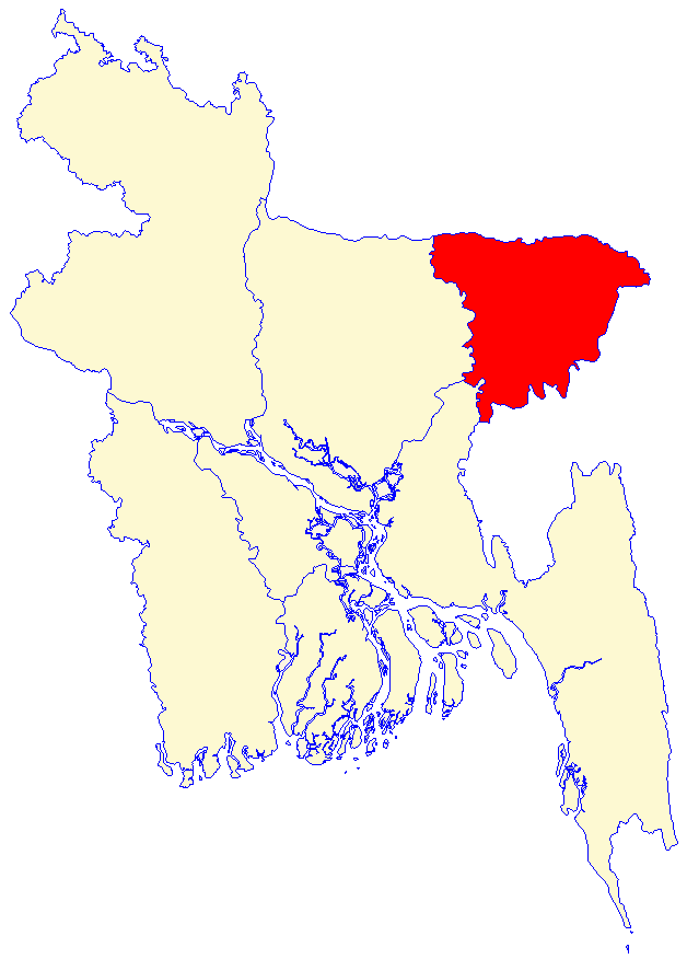
Geography
Derai is located at 24°47′00″N 91°21′00″E / 24.7833°N 91.3500°E . It has 30041 units of house hold and total area 420.93 km².
Demographics
As of the 1991 Bangladesh census, Derai has a population of 185284. Males constitute are 51.38% of the population, and females 48.62%. This Upazila's eighteen up population is 91693. Derai has an average literacy rate of 25.3% (7+ years), and the national average of 32.4% literate.[1] Religion: Muslim 68.53%, Hindu 30.96%, Buddhist 0.11%, Christian 0.12%.
Administrative
Derai has 1 pourosova, 9 Unions/Wards, 170 Mauzas/Mahallas, and 233 villages.
See also
The freedom fighteer of Derai is Shohid Talab Uddin AhmedDerai nickname Talab Nagar The elected member of parliament is Suranjit Sen Gupta [ awami league, Bangladesh ruling party]. Derai mostly known in Bangladesh for its complex politics, as it far more debate amongst people than anywhere else in the country. The Mayor of Derai Pouroshova is Md Azizur Rahman Bulbul [Awami League] Derai has three Colleges named Derai Degree College, Bibiwana Model College and Jogdol College. There are 18 High Schools including one Girls'High School. The largest schools are located at the Upozila Head Quarter named Derai High School and Derai Girls' High School. There are 96 Govt Primary Schools and 63 Non-Govt Primary Schools, Derai is mostly known as the Home of POLITICS
References
- ^ "Population Census Wing, BBS.". Archived from the original on 2005-03-27. http://web.archive.org/web/20050327072826/http://www.bangladeshgov.org/mop/ndb/arpc91_v1/tables04.htm. Retrieved November 10, 2006.
 Upazilas of the Sylhet DivisionCapital: Sylhet
Habiganj District 
Maulvibazar District Sunamganj District Bishwamvarpur · Chhatak · Derai · Dharampasha · Dowarabazar · Jagannathpur · Jamalganj · Sullah · Sunamganj Sadar · TahirpurSylhet District Balaganj · Beanibazar · Biswanath · Companiganj · Fenchuganj · Golapganj · Gowainghat · Jaintiapur · Kanaighat · Sylhet Sadar · ZakiganjCategories:- Upazilas of Sunamganj District
- Bangladesh geography stubs
Wikimedia Foundation. 2010.